Millions of hectares and more
under the scorching sun
the ripening crop a massive store
of protein again begun
drying off yellowing
all one plant just one
finally ready for harvesting
ton after ton after ton

wheat rain heat
rain heat wheat
repeat
Poetry days #19.
All work is my own and subject to copyright. I do not use AI. I do not want AI to use my work.
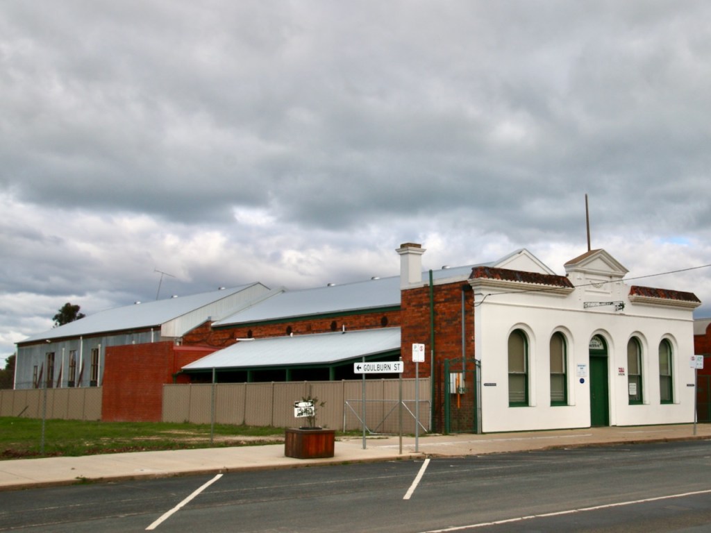
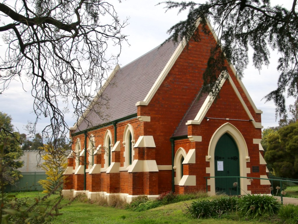
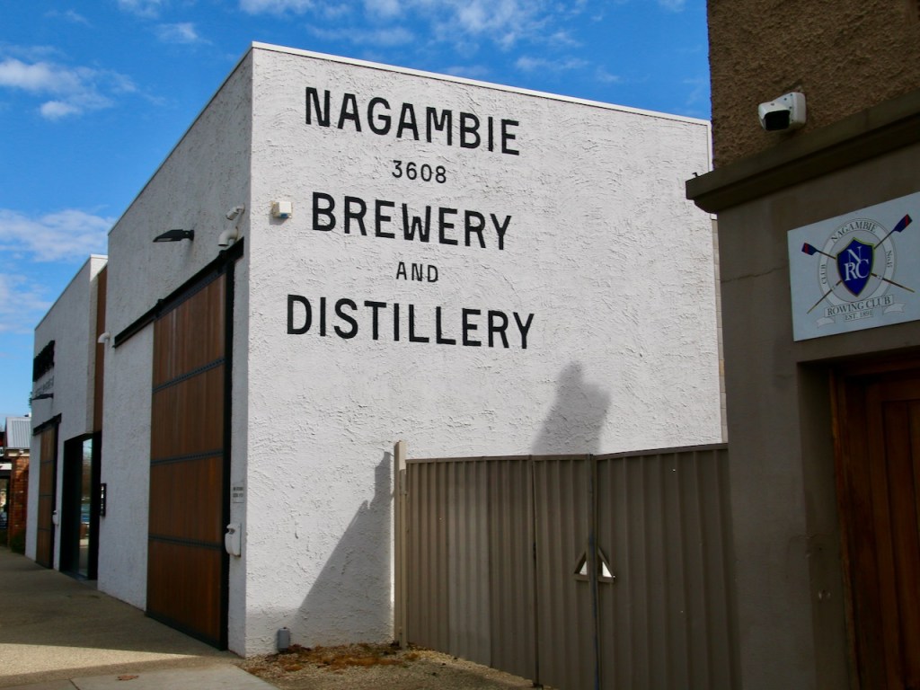
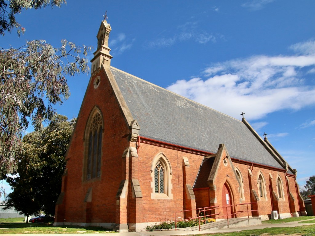
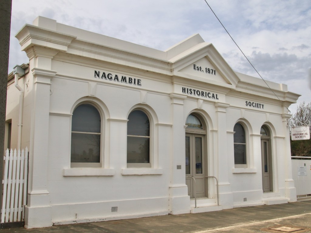
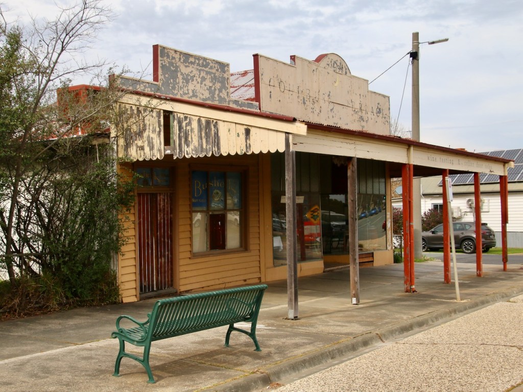
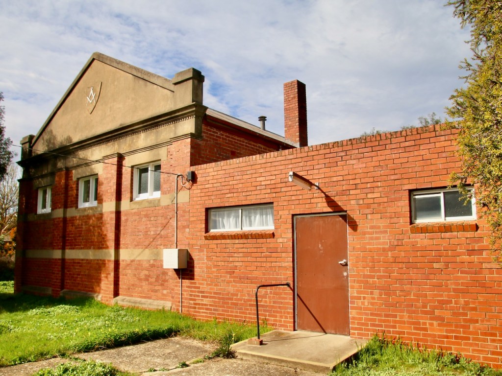
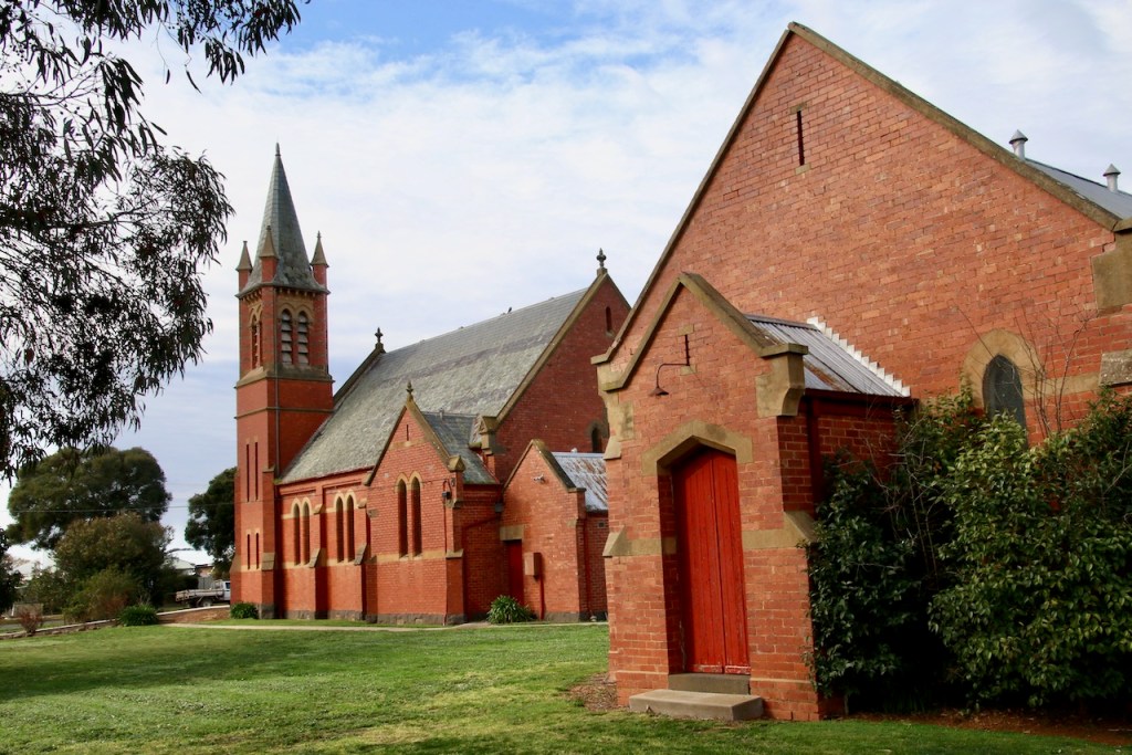
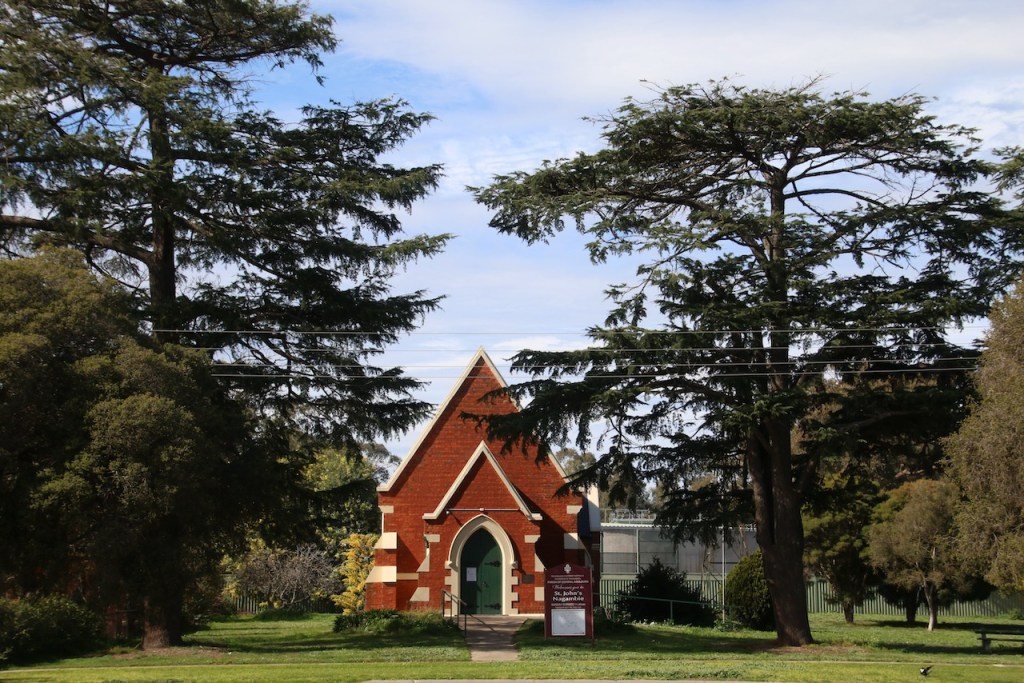
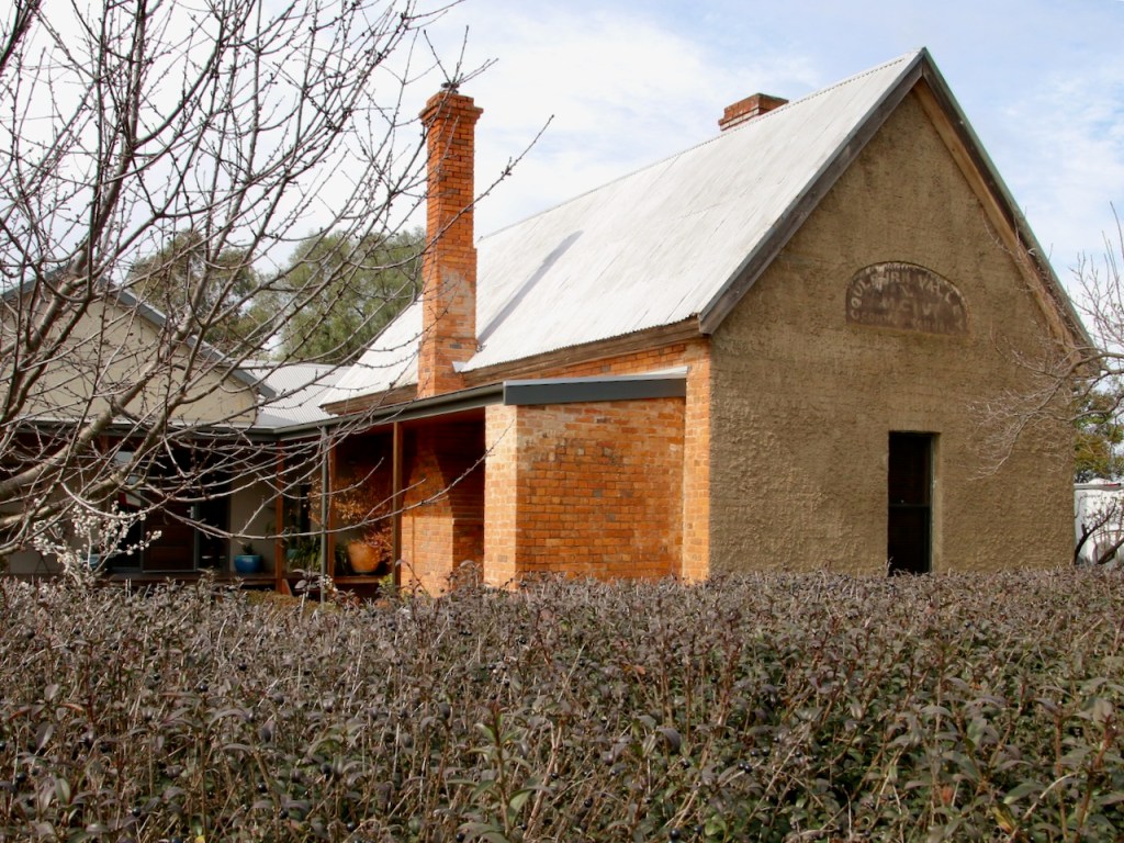
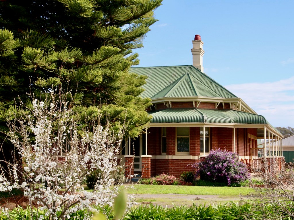
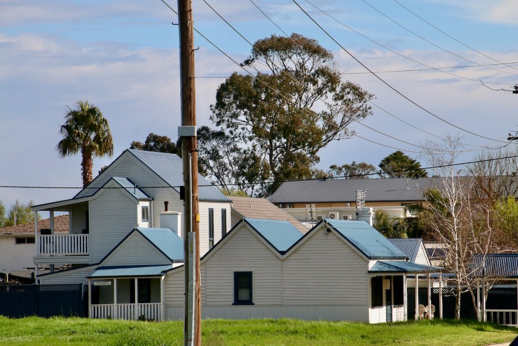
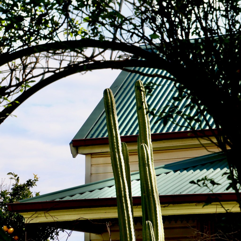
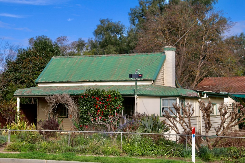
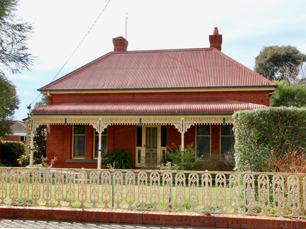
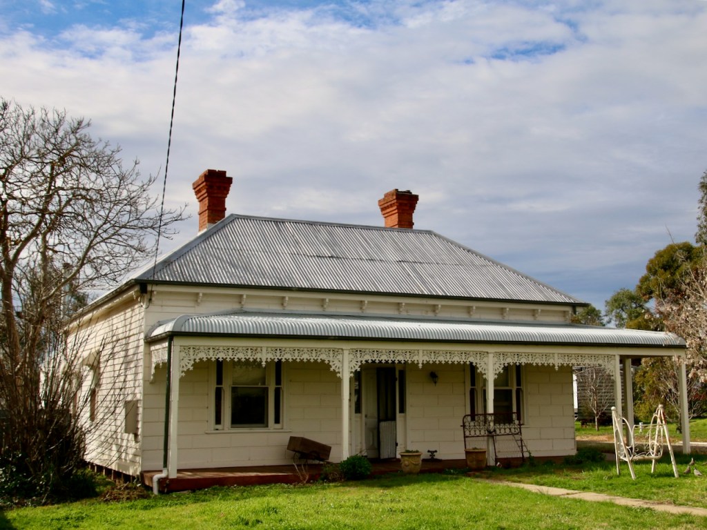
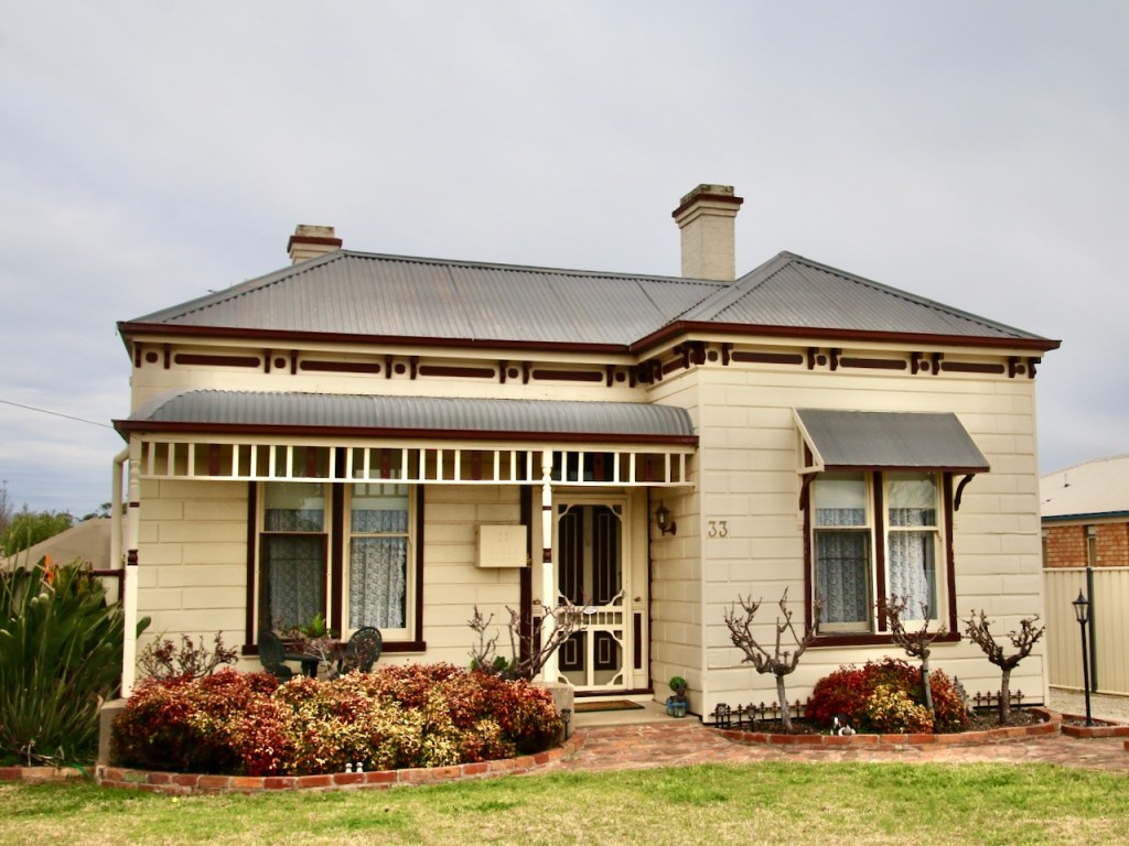
It appears an online Nagambie Heritage Trail is not going to be achievable at present. As an alternative I give you a Nagambie Heritage Photo Gallery. Viewed in conjunction with the previous gallery of period housing, I think it provides a good perspective on the streetscapes. If you are ever in town and want to engage with a Heritage Trail, I can recommend visiting the Nagambie Historical Society in High Street and obtaining a hard copy.
In between lockdowns I got to do a thorough tour of Nagambie township in north central Victoria. I was struck by the diverse examples of housing stock from across the past 150 years. I always find domestic dwellings and their gardens interesting, so I naturally found myself busy with the camera.
Download from the link at the end to view route photos.
Route Name / Address:
Nagambie – Murchison Loop
Start / Finish locations:
Nagambie Railway Station Prentice St., Nagambie 3608
Mode:
Road bike (or any other mode you prefer)
GPS 36.785292° S 145.160579° E
Difficulty:
Easy – as long as the distance is OK for you
Distance:
50km
Elevation:
211 – 145m
Topography:
Flat
Surfaces:
Sealed bitumen. Narrow around Kirwans Bridge and Goulburn Weir. Firm dirt shoulders. Murchison East has quite a bit of through traffic, but broad sealed shoulders. Morningside Rd has quite a bit of patching. It is the roughest section, not too bad.
If you wish to join the Rail Trail to Rushworth at Murchison (another 7 – 10km one way dependent on where you start), you will require a bike able to manage a gravel surface.
Description and Features:
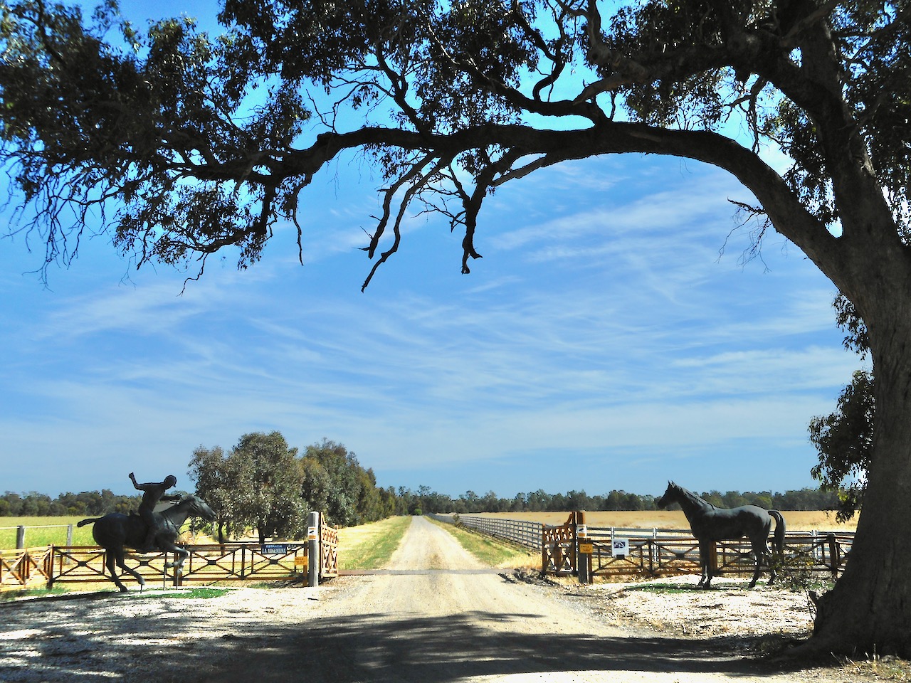
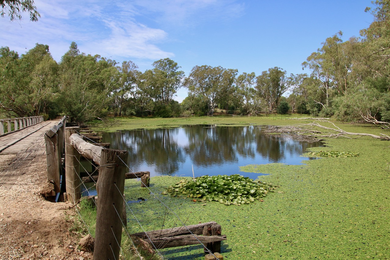
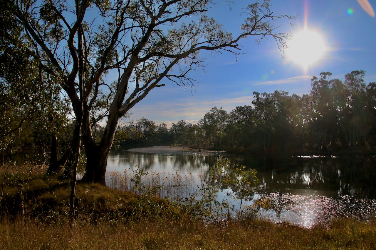
Nagambie is well serviced, Murchison less so, but can offer accommodation, food and drink. This is flat river plains country. The route parallels the Goulburn River, Weir and major irrigation canals most of the way. There are various scenic sites, such as the aged Kirwans Bridge, broad vistas across prime grazing and cropping land, quality horse studs and wineries.
Riding conditions:
Generally, fairly low traffic during the week with more tourists about on the weekends. Some long straight stretches. There is little shelter from the elements on the road.
Difficulty:
Easy. Thick gravel can add an extra push requirement
Distance:
27km, 2hrs
Elevation:
128 – 144m
Topography:
Flat with slight rises.
Surfaces:
Good condition bitumen
Variable gravel. Mulberry Drive is smooth, but has drifts of quartz pebbles and blue metal stones.
Mullens Rd is due to be sealed
Nook Rd and Terrara Lane both suffer water sheeting and mud in winter
Description and Features:
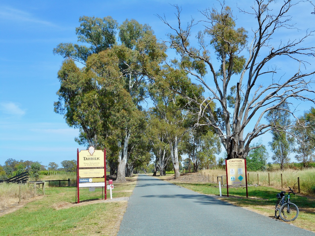
Excellent services, wide roads and service lanes in Nagambie itself. Prime horse stud and wine country. Lots of vast grain fields, pasture and vineyards. The Goulburn River bends and billabongs at Tahbilk Winery are gorgeous. The winery itself is an historic gem.
Riding conditions:
Little traffic on the mapped route. If you opt to use O’Dwyer Rd there is steady traffic, but the shoulders are bitumen and wide.
Options:
Use O’Dwyer Rd instead of Habel Rd if you want to reduce the distance.
Avoid what seems an obvious route along Vickers Rd. It has no shoulder is a narrow two way and heavily trafficked.
Clockwise or anti
Anticlockwise Cues:
Start Nagambie Railway Station
Left Nash St
Right Prentice St
Left High St
Right Nook Rd
Right Mulberry Drive
Straight Oneils Rd
Left Mullers Rd
Right Terrara Lane
Straight Nagambie – Locklsley Rd
Left Habel Rd
Left Ballantynes Rd
Right Murray St
Straight Nash St
Stop Nagambie Railway Station
Amenities:
Car parking
Fuel
Shops
Fishing
Winery
Seating
Parkland
Swimming
Playground
Picnic tables
Public toilets
Potable water
Walking tracks
Accommodation
Historic features
Sports Reserves
Railway station
Directional signs
Information signs
Waterways & lake
Alternative routes
Flora and fauna habitat
Cautions:
Open water
Soft shoulders
Limbs may fall
Embankments
Uneven ground
No potable water while riding
Slippery surfaces
Subject to flooding
Road surfaces vary
Snakes may be active
Beware of vehicle traffic
Mobile reception may be unreliable
Carry food, water, First Aid, be SunSmart
Be equipped for self-reliant riding
Restrictions:
Take rubbish with you
Historic relics are protected
Native flora and fauna are protected
Riders must use formed roads only
Closed on days of total fire ban