Walking the Strathbogie Ranges has many rewards. The landscapes, waterways and native flora are simply beautiful.
A gallery of 10 images. To see the full photos click an image, then use the arrows to scroll.


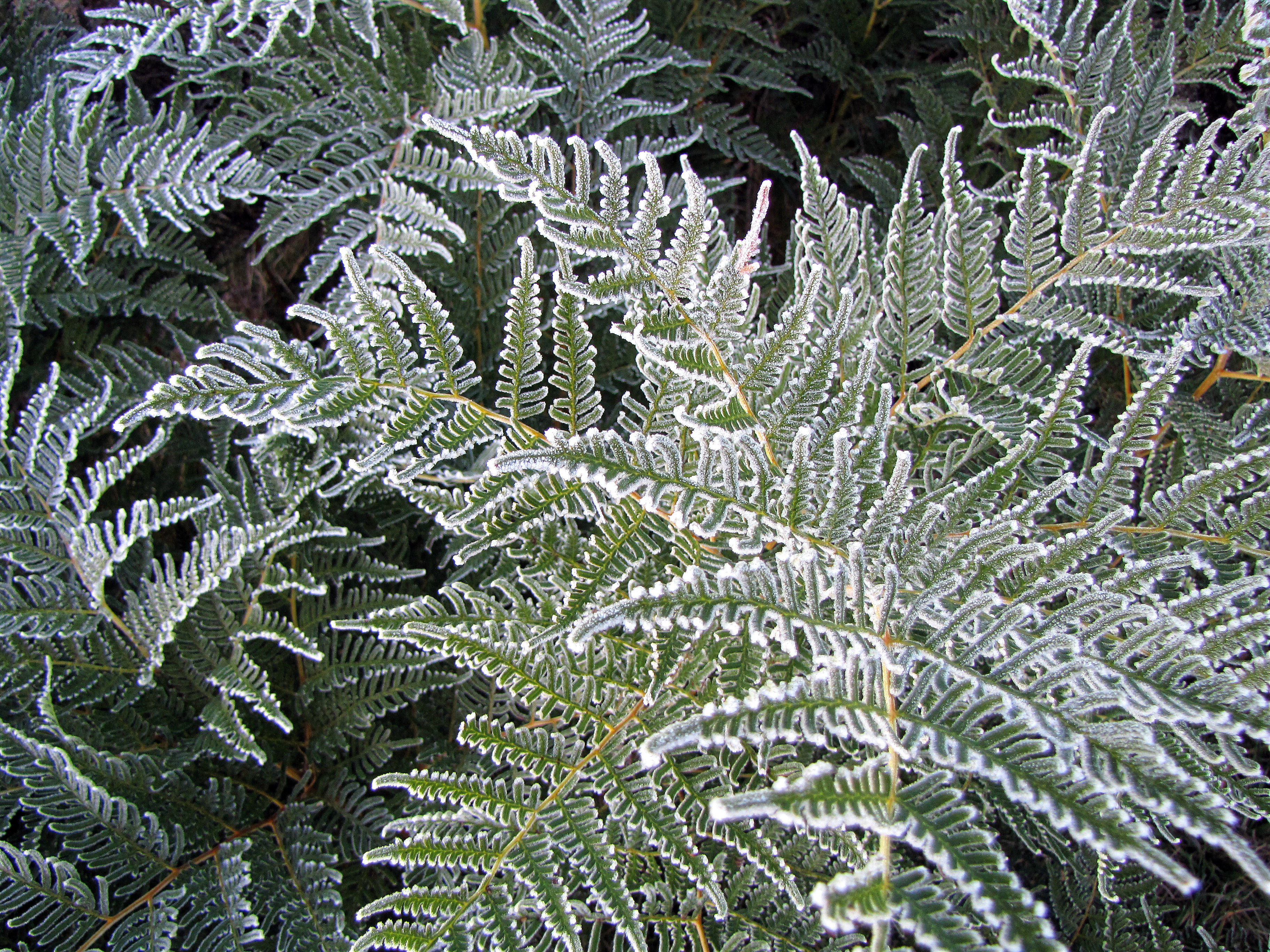
Walking the Strathbogie Ranges has many rewards. The landscapes, waterways and native flora are simply beautiful.
A gallery of 10 images. To see the full photos click an image, then use the arrows to scroll.

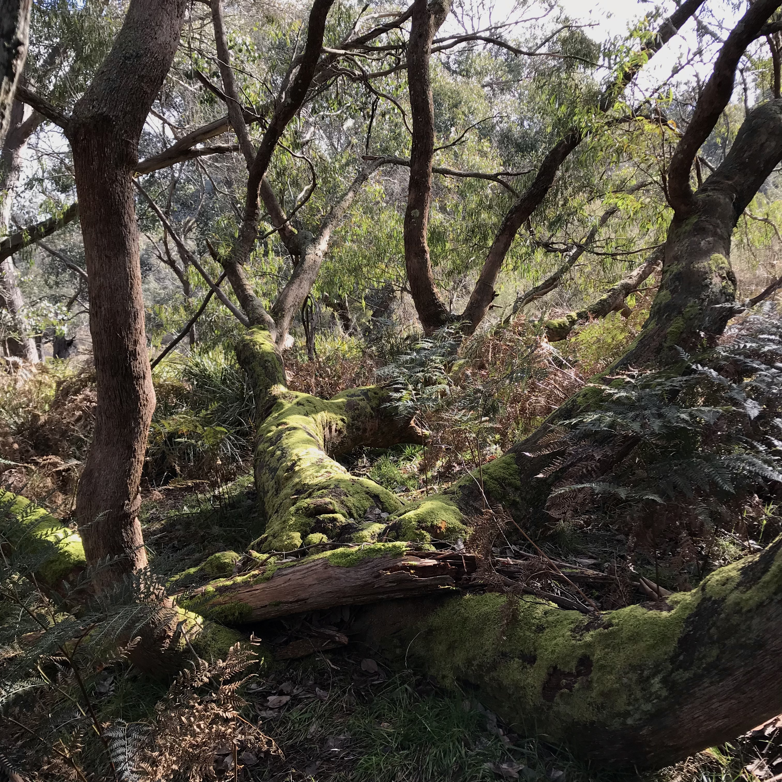
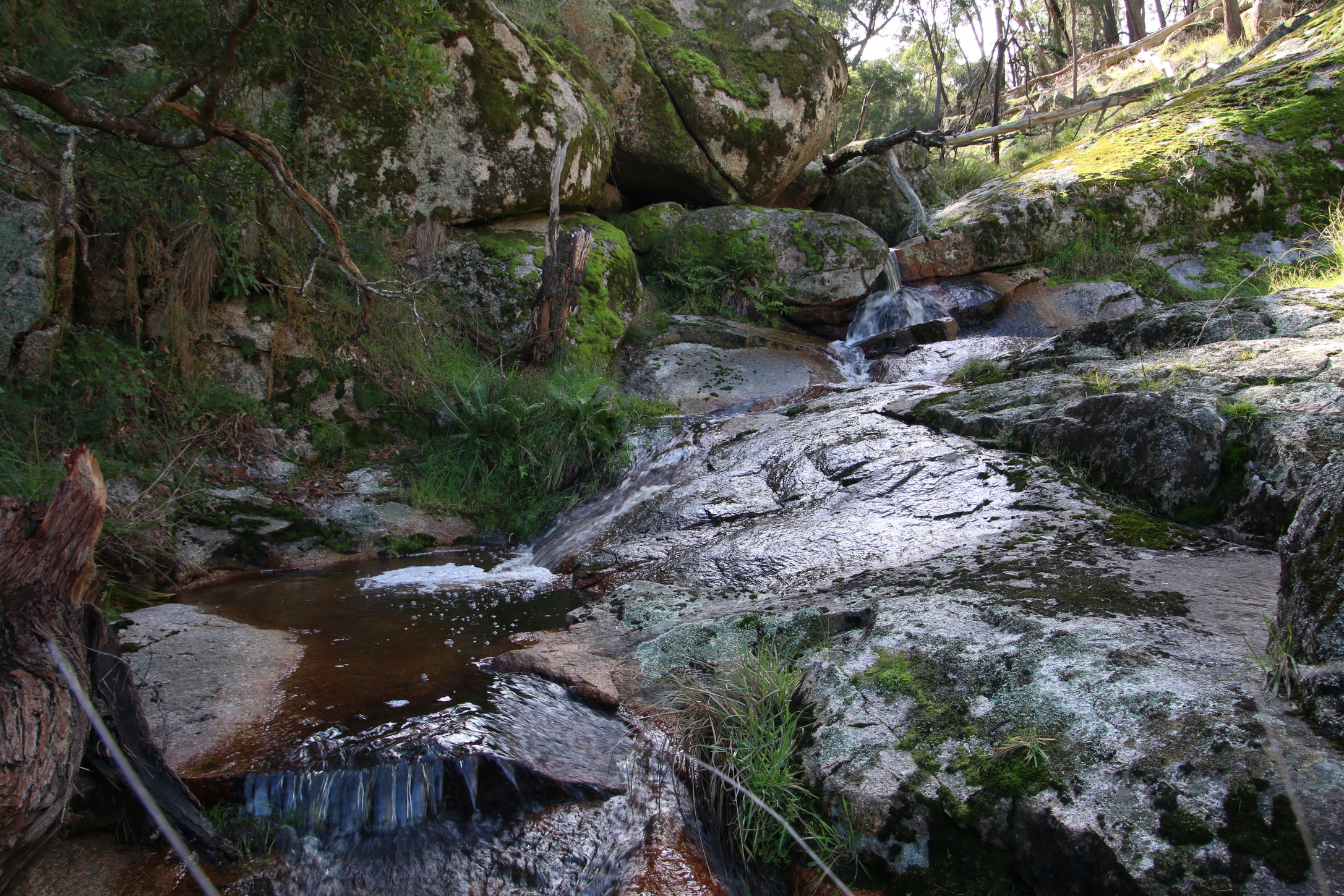
Koetong Creek in Mt Lawson State Park runs through open woodland of Narrow and Broad-leaf Peppermint, Candlebark, Manna, Blue and Brittle Gum, Red Stringybark, Long-leaf and Red Box. You will also find Black Cyrpess-pine and Kurrajong. The combination of diverse forest layers, a cascading waterway (Spa) and beautiful wildflowers give this walk a real buzz. Take a hike.
You will find the walking map and details I have published on http://www.walkingmaps.com.au here Koetong “Spa” and Wildflower walk
Wallaby Gully, Upton Hill has the cutest little stream.
Responsible Authority:
Acceptable modes of transit:
Walk
Distance & duration
GPS coordinates & map
 Grading (using the Parks Vic Track and Trail Grading Manual)
Grade 5
Amenities:
None
Hazards
Snakes, tree and limb falls, very steep inclines, cliff faces, overhangs, steep embankments, slippery surfaces include wet surfaces, loose rocks, soil, mud and vegetation, absence of pathways, flowing water
Restrictions
Trailhead sign & Informational Signs
None (Mt Hut Reservoir, GV Water sign at gate)
Directional signs / bollards or trail markers
None
Brochure
None.
Recommendations
Significant sections of this walk are a scramble through steep bush terrain. Trail marking and eventual foot trail creation would improve access and safety.
Conclusion
For experienced, well prepared hikers only. A service track begins at and returns to the Mt Hut Reservoir GV Water gate on the Euroa-Strathbogie Road, but only goes as far as Mountain Hut Creek Reservoir itself. From here you follow the Mountain Hut Creek embankment to Waterhouse Reservoir. At this point, cross the dam wall and once again proceed upwards, around the Reservoir and again onto the creek embankment. There is no trail, the slopes are steep and littered with loose surface material. Take care. However, the reward is great. Charman’s Falls are spectacular, particularly with a good spill of water, and it is downhill all the way back.

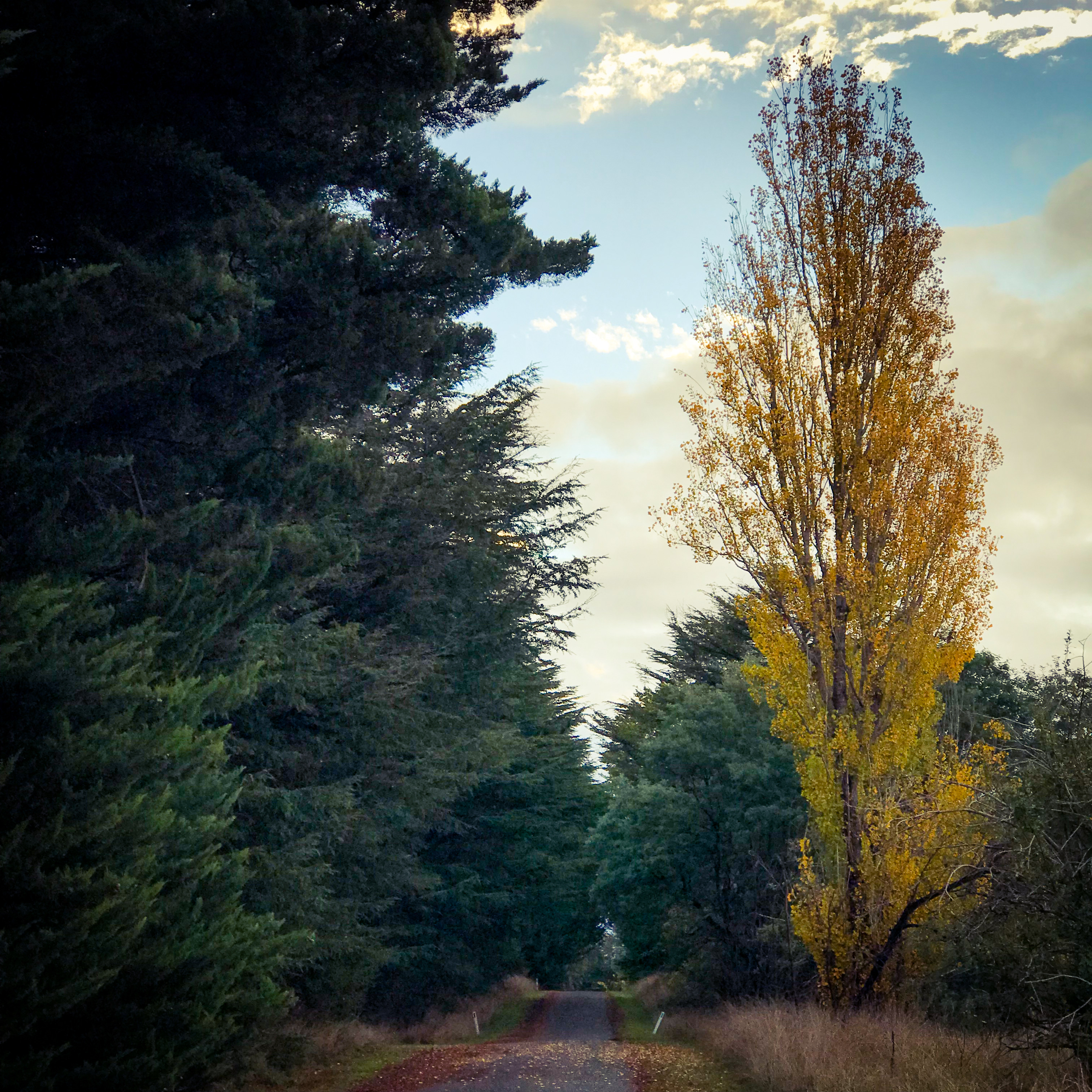
A pretty spot for a pretty shot
