Talk

I want to talk
talk talk talk
I want to talk
talk talk talk

oh will you talk
talk talk talk
oh will you talk
talk talk talk

why won’t you talk
talk talk talk
why won’t you talk
talk talk talk

we need to talk
talk talk talk
we need to talk
talk talk talk

or else I walk
walk walk walk
or else I walk
walk
wa
lk
w
a
l
k
.
.
.
.
. . . . . . . . . .

away

In_Forests_#01

Dandenong Ranges, Victoria.

Walking Dip Lane, Sheans Creek

Woollybutt

Woollybutt forest, Mt Stirling

An excellent walk in the towering Woollybutt Alpine Ash forest of Mt Stirling. Find my map and description here https://walkingmaps.com.au/walk/5836

My furrowed brow

Red-browed Finch
The Finch
with red brow and olive wings
presents a pretty picture

Upon its chosen perch
it even makes the invasive thistle look good

With pleasure I spy
scenery I would rather deny

Ruffey Creek walk

One of the nice surprises – a Gang Gang eating Hawthorn berries.

This large suburban park is full of nice surprises. There is an interesting local history trail, there are pleasant walking paths and the playground and other amenities provide for all the family.

Find the map here on http://www.walkingmaps.com.au with a full description using this link Ruffey Creek walk

For a long time now

 
For a long time now
My love and I go walking
As we walk
We find the time for talking

For a long time now
My love and I sit silently
As we sit
Our love strengthens quietly

The Lunette walk, Winton Wetlands

A Whistling Kite at Winton Wetlands

This is the second last of the ten walks to be mapped and published by me from Winton Wetlands. It has taken a while to get to, but it was worth the wait: Lunette walk

You can find the other Winton Wetlands walks I have published to date here: https://wintonwetlands.org.au/walking/

Koetong “Spa” and Wildflower walk

Koetong Creek

Koetong Creek in Mt Lawson State Park runs through open woodland of Narrow and Broad-leaf Peppermint, Candlebark, Manna, Blue and Brittle Gum, Red Stringybark, Long-leaf and Red Box. You will also find Black Cyrpess-pine and Kurrajong. The combination of diverse forest layers, a cascading waterway (Spa) and beautiful wildflowers give this walk a real buzz. Take a hike.

You will find the walking map and details I have published on http://www.walkingmaps.com.au here Koetong “Spa” and Wildflower walk

Mt Timbertop wildflowers

Watkins walk

Watkins Road

Watkins walk is a Strathbogie Tableland roadside walk through grazing farmland and native forest. One of its other attractive features is the high conservation value roadside vegetation including various towering species of eucalypt.

Such roadsides are critical local biolinks for flora and fauna. There is plenty to see and wildlife sightings are common.

This is a little trafficked smooth gravel road and Strathbogie Tableland is quiet. You can hear cars approaching from some way off. It is pretty safe walking. However, it still makes sense to stick to the right of the road so you are facing any oncoming vehicles that do appear.

Click this link Watkins walk to the map I have created on http://www.walkingmaps.com.au

Bridges and Cuttings walk, Tallangatta

A new Towong region walk I have published on VictoriaWalks walkingmaps: https://walkingmaps.com.au/walk/5472

Shipwreck and Geology walk, Loch Ard Gorge

Here is a link to the latest walk I have published on VictoriaWalks walkingmaps https://walkingmaps.com.au/walk/5485

Living on the Edge walk, Loch Ard Gorge

Here is a link to the latest walk I have published on VictoriaWalks walkingmaps https://walkingmaps.com.au/walk/5484

Port Campbell Discovery Walk

Here is a link to the latest walk I have published on VictoriaWalks walkingmaps https://walkingmaps.com.au/walk/5483

Hills Road, Strathbogie Tableland

Walking anytime is great. Walking during lockdown is even better! As we continue our quest to walk all the roads, tracks and trails of the Tableland, we continue to enjoy the pleasures and surprises of the task. Hills Road made for another pleasant local walk.

Fernhills Rd, Shean’s Creek / Strathbogie Tableland

A pleasing 5km return walk along a rural dirt road to an unexpected roadside tower and back.

Palmers Road, Strathbogie Tableland

An easy 7km rural lane return walk from Ankers Rd to the end of Palmers and back.

Lake Nagambie Waterfront walk

The most recent walk I have added to VictoriaWalks

https://walkingmaps.com.au/walk/5073

strathbogie walks #strathbogiewalks

strathbogie photography #strathbogiephotography

Honeysuckle Creek Walk

Trail Checklist

Name:

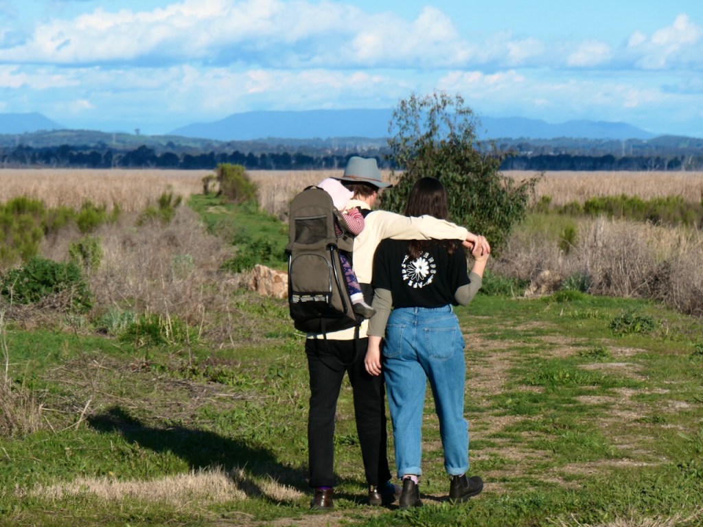
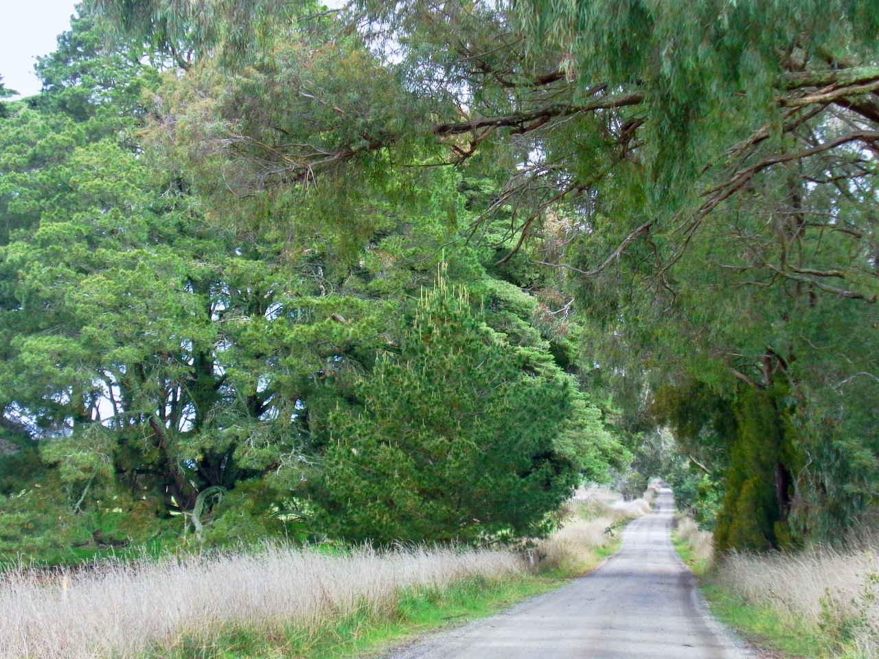
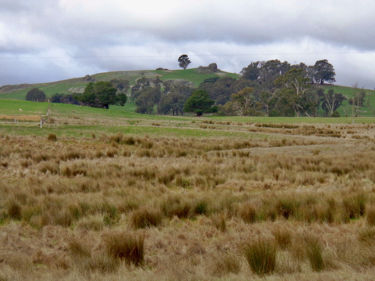
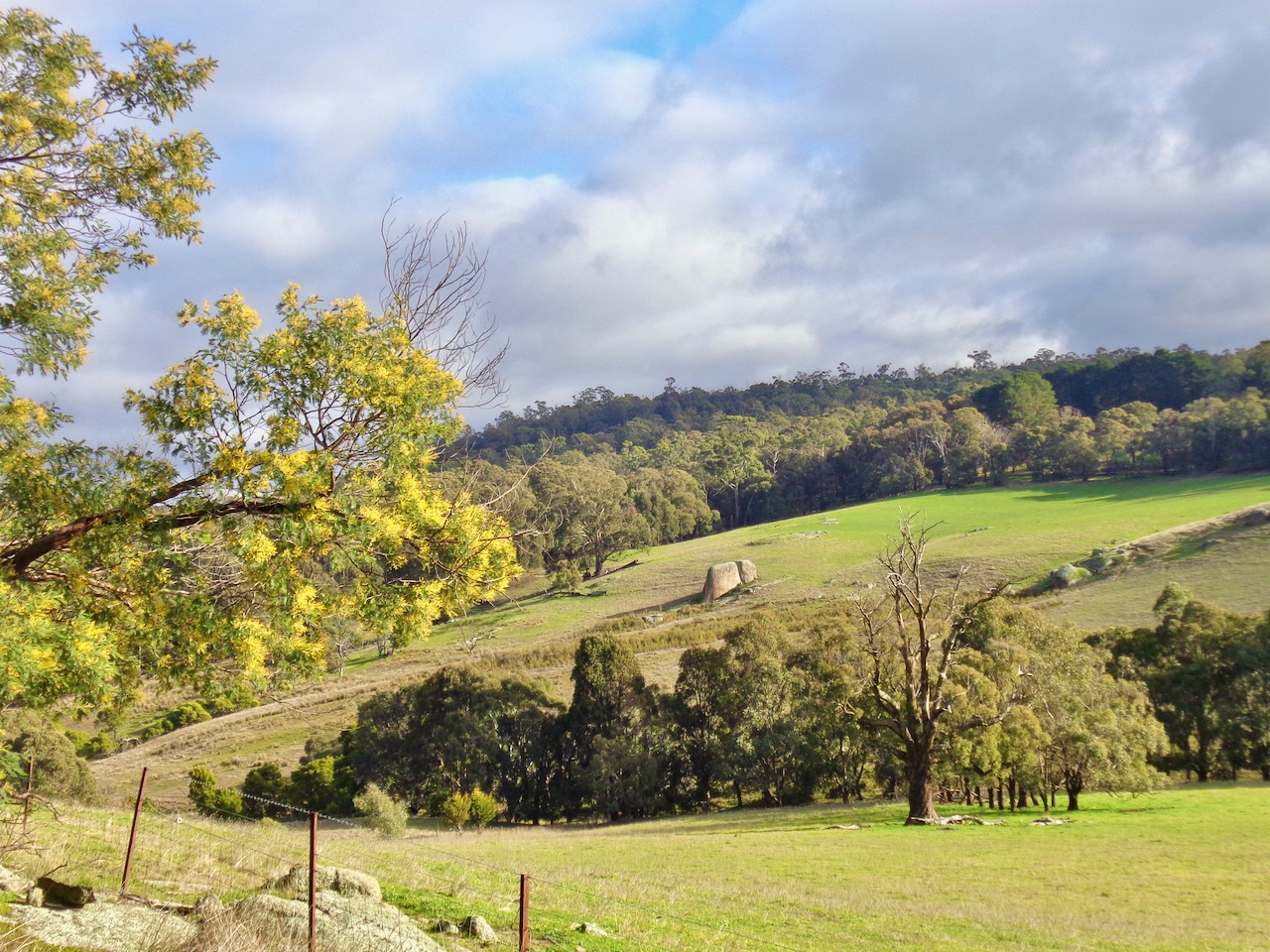
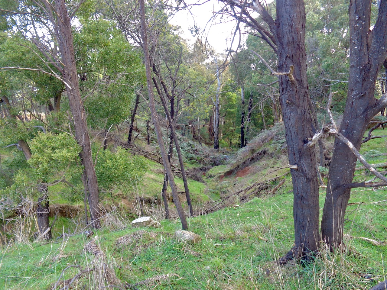
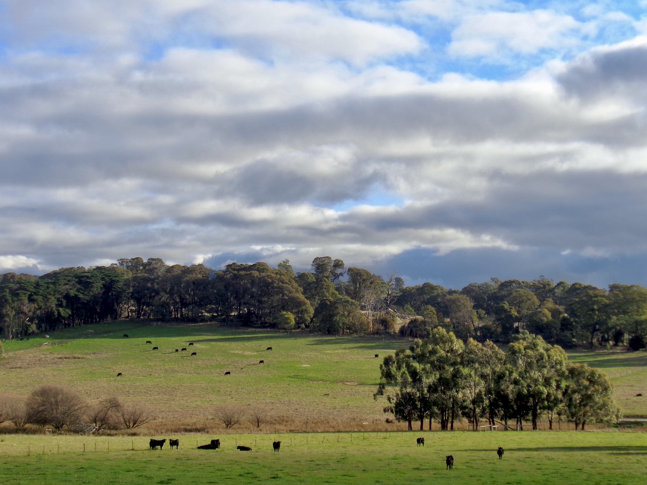
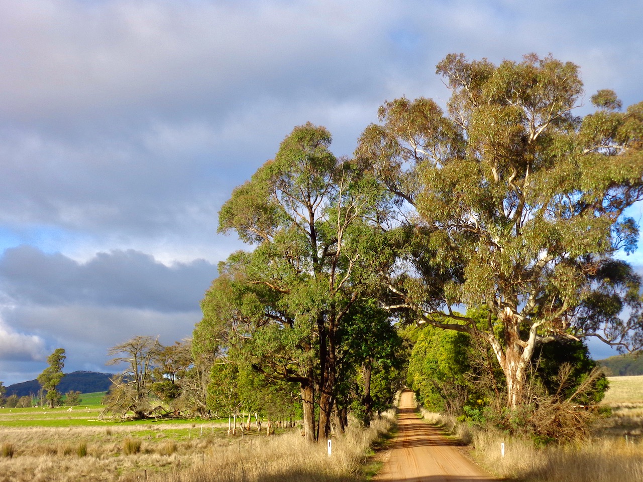
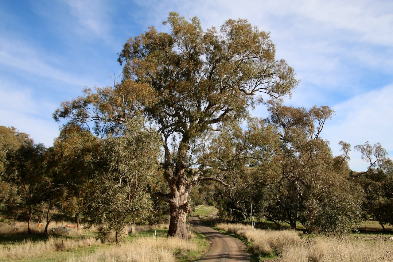
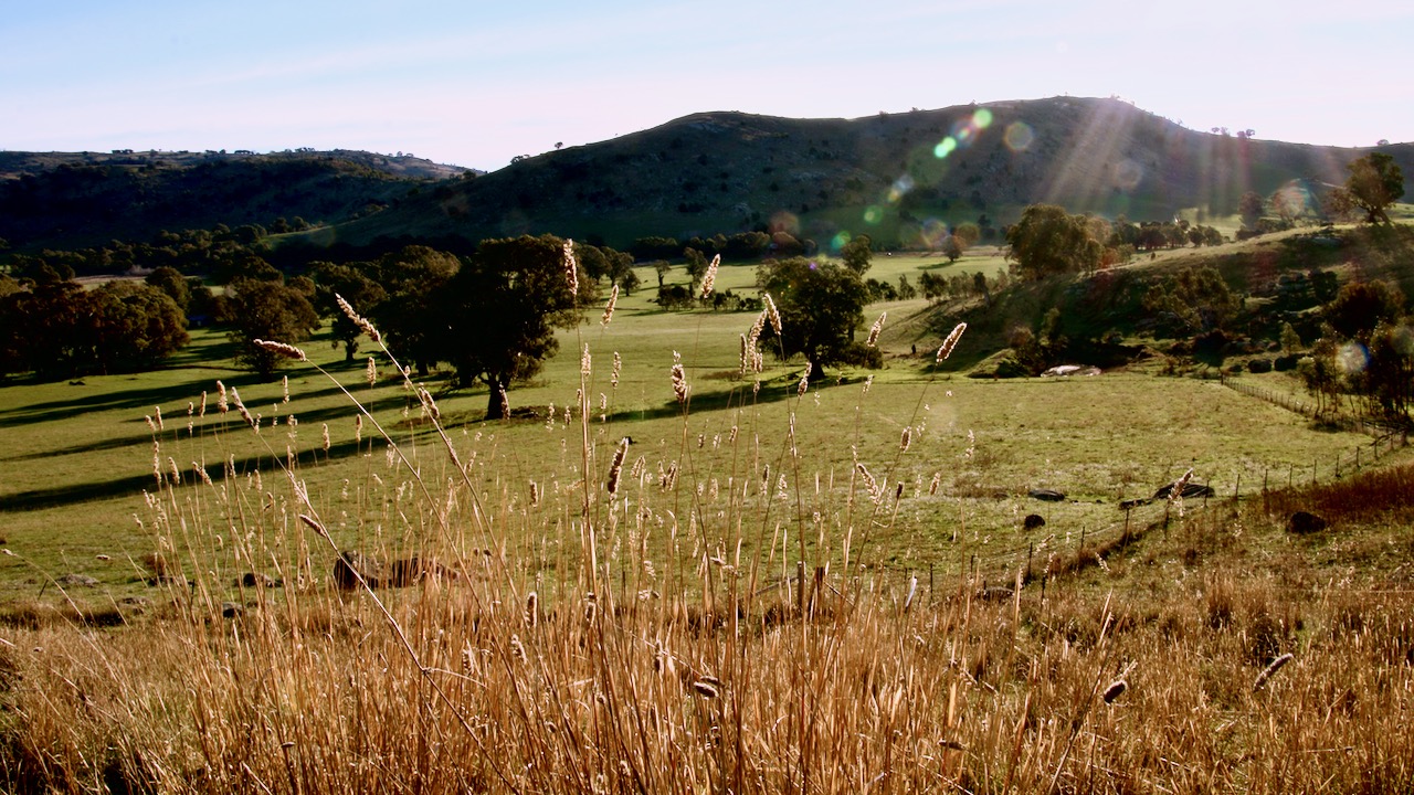
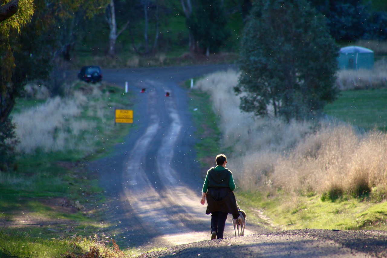
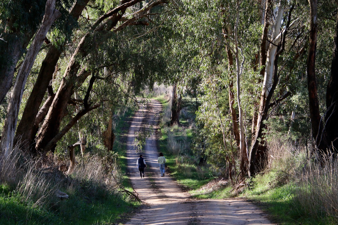
Honeysuckle Creek Walk, Violet Town

HoneysuckleWalk02

Responsible Authority:

Authorities

  • Strathbogie Shire Council
  • Goulburn Broken Catchment Management Authority (GB CMA)

Community

  • Honeysuckle Recreational Environment Project (HREP)
  • Violet Town Action Group (VTAG)

Acceptable modes of transit:

  • Foot and cycle

Distance & duration

  • 3km as a circuit or divided into 1km or 2km loops across bridges

GPS coordinates & map

36°38’01.0″S 145°43’05.8″E

-36.633606, 145.718286

Honeysuckle

Grading (using the Parks Vic Track and Trail Grading Manual):

  • Grade 2

Amenities:

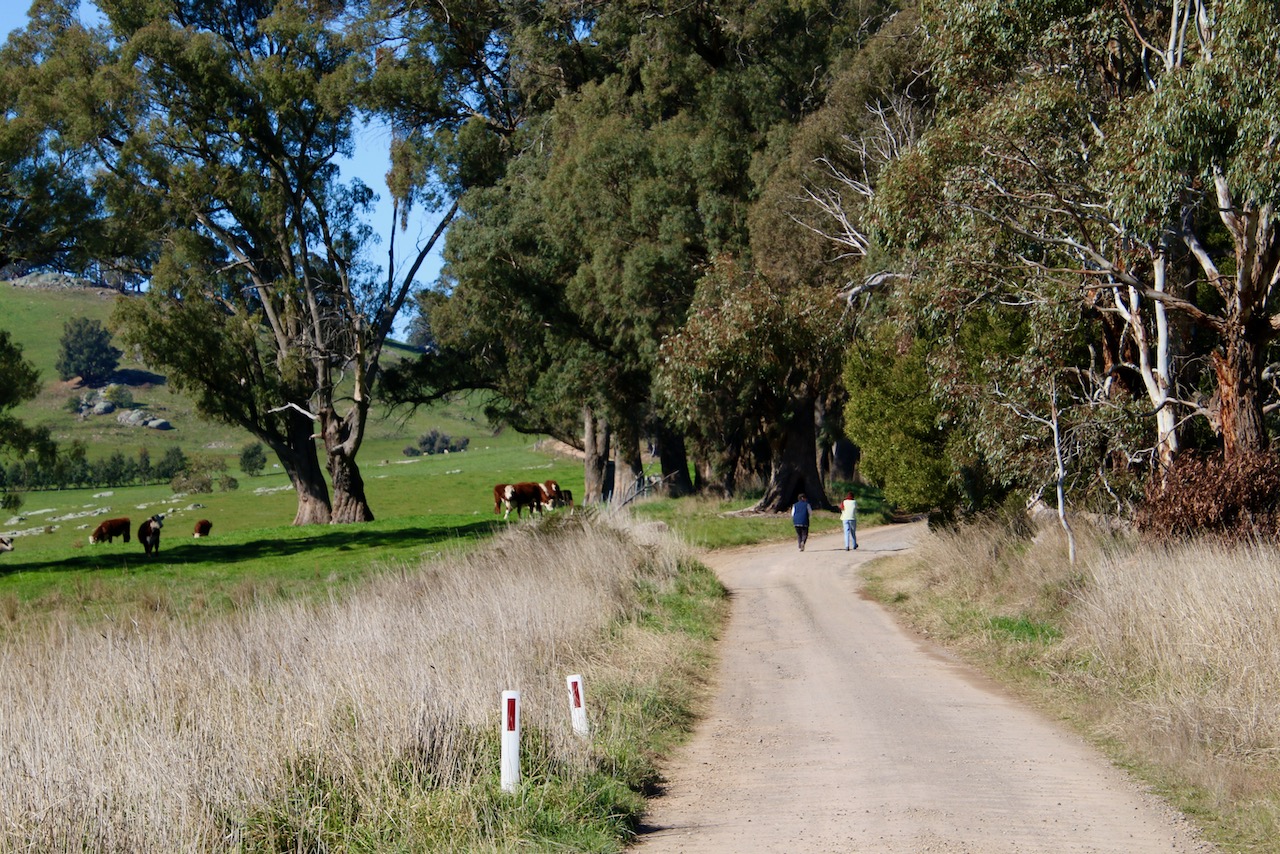
  • Multiple entry points
  • Easy car parking
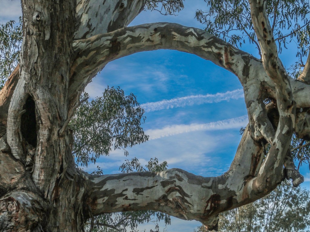
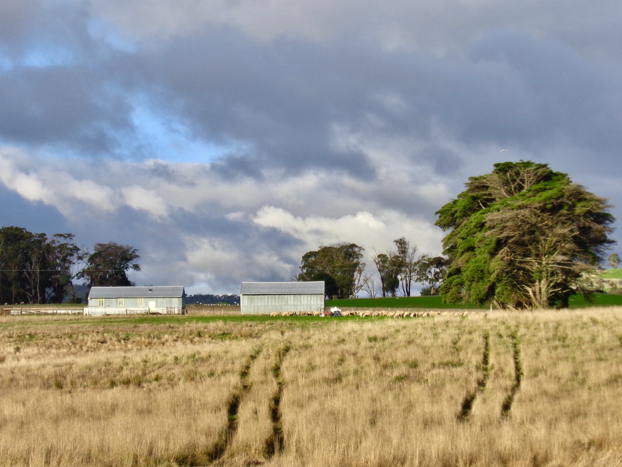
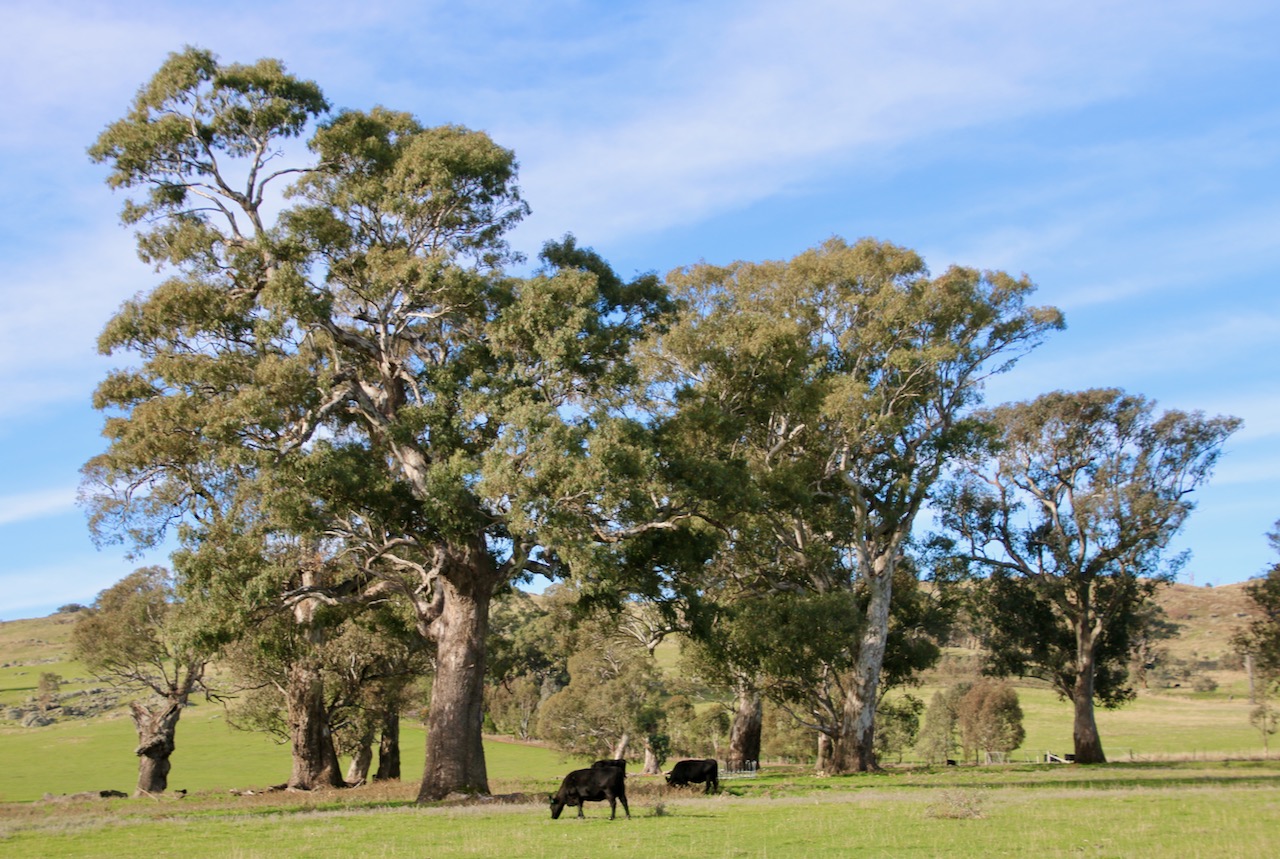
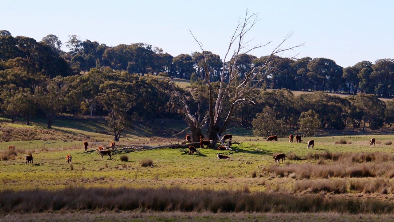
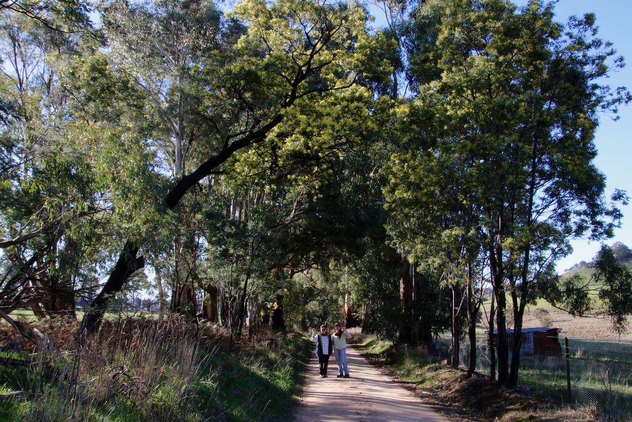
  • Open parks and gardens
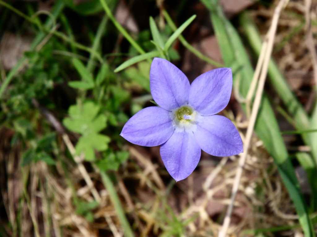
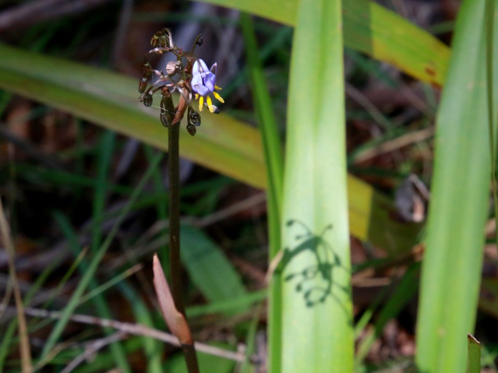
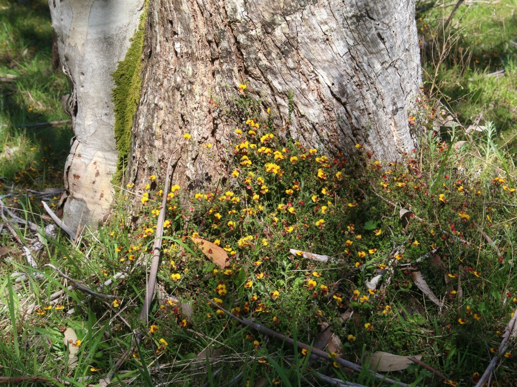
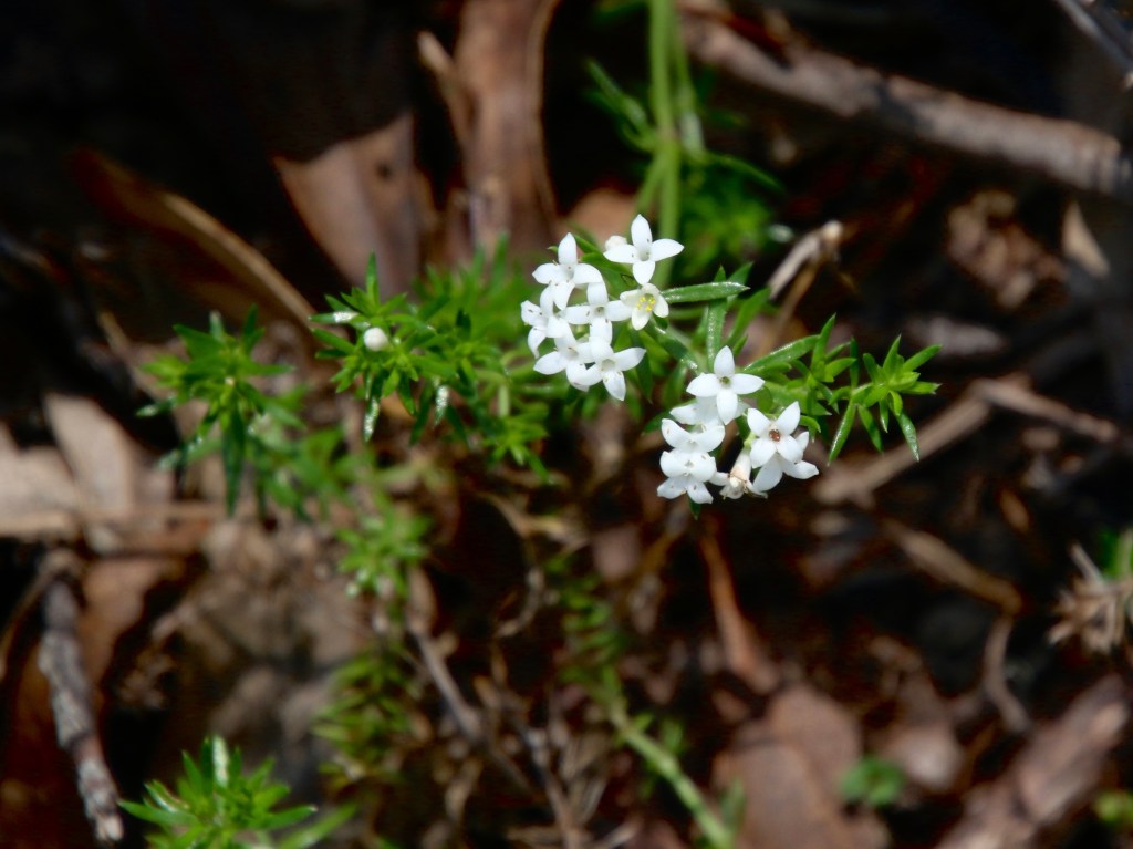
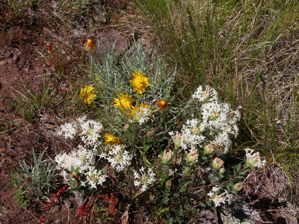
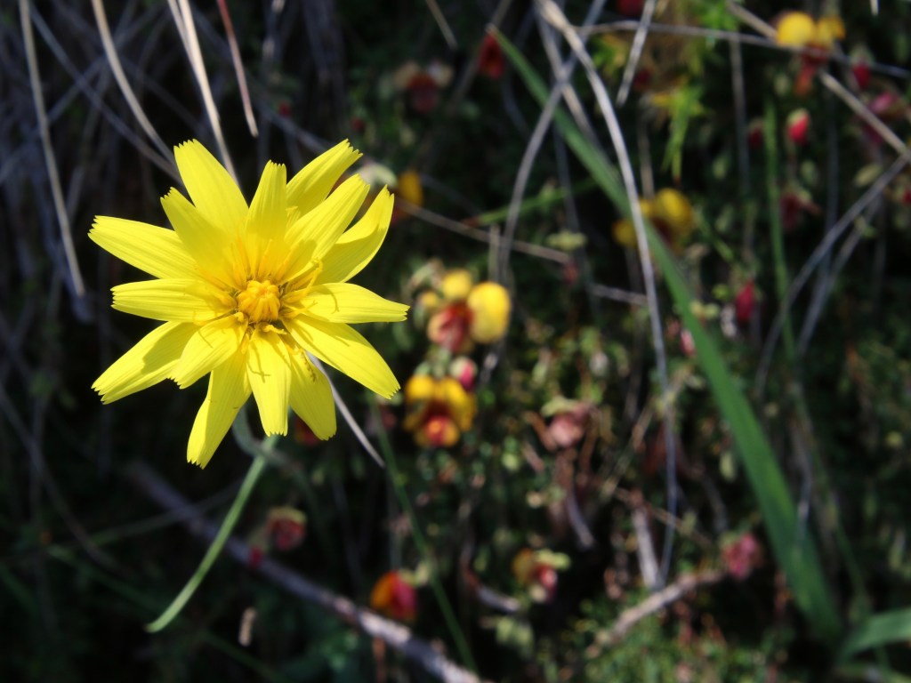
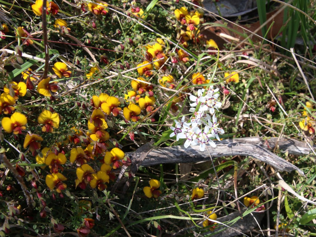
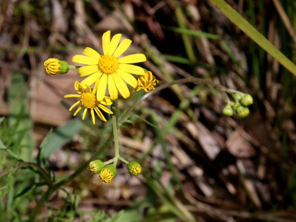
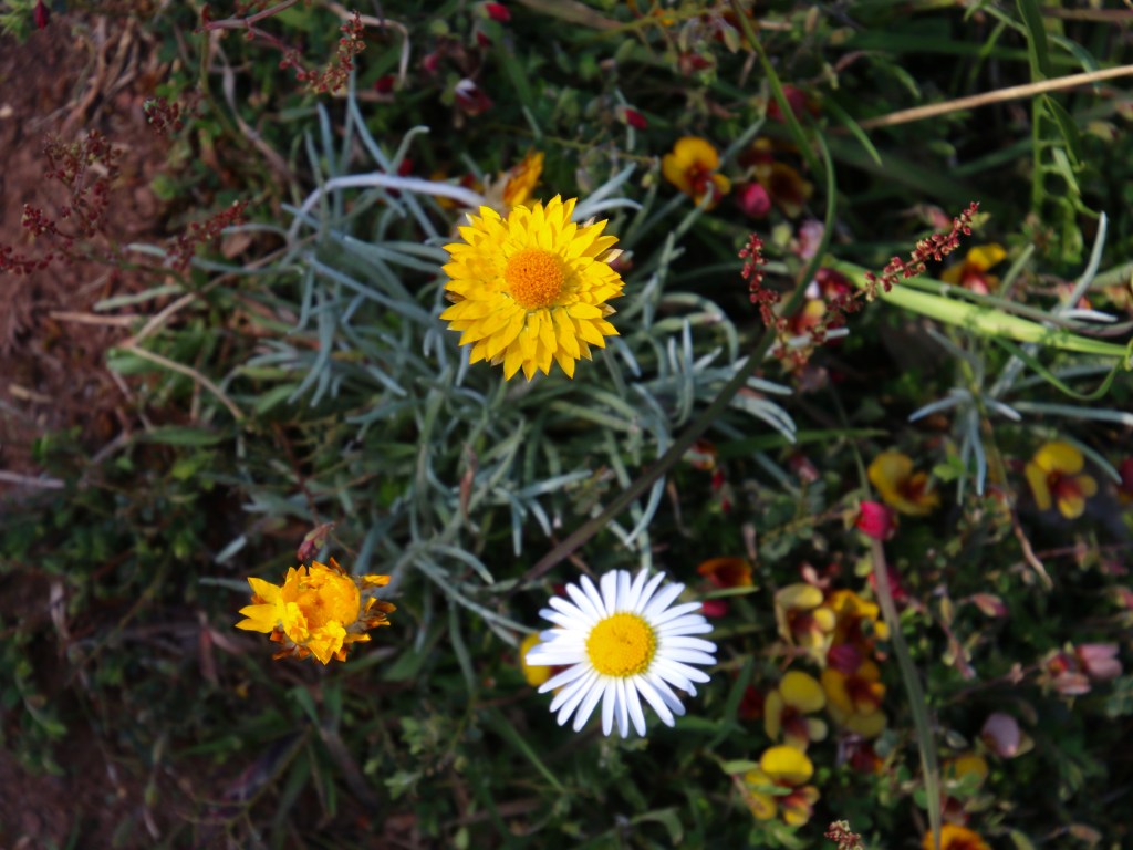
  • Native plantings
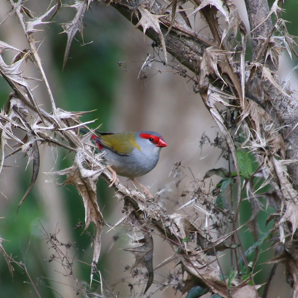
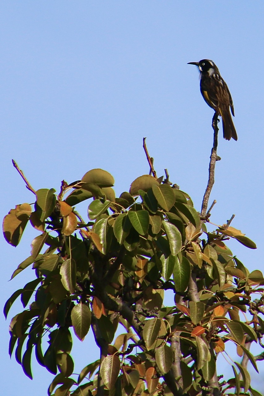
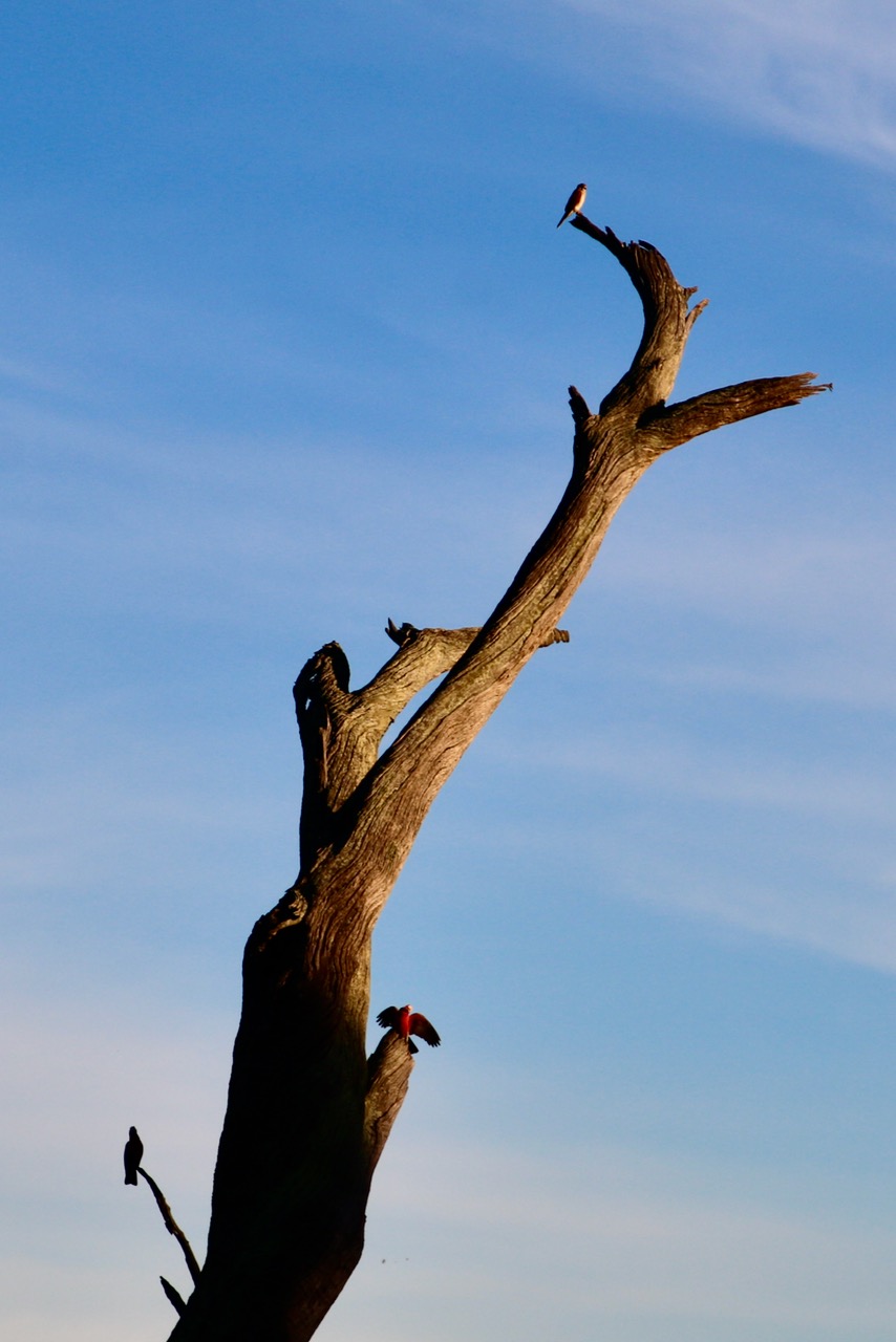
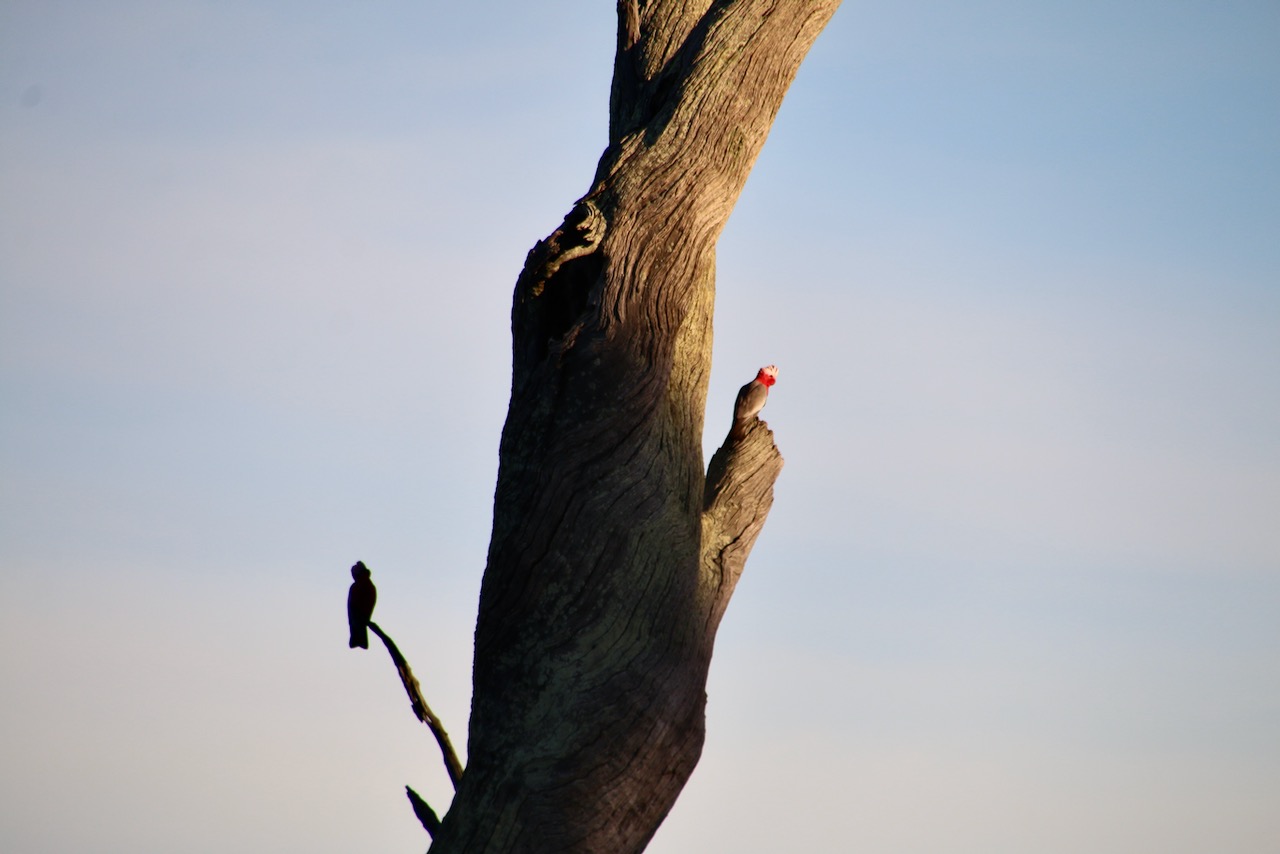
  • Good for bird watching
  • Picnic tables and seating
  • Informational signage
  • 4 Bridges across creek
  • Public toilets in adjacent Recreation Reserve
  • Rubbish bins in adjacent Recreation Reserve
  • Shelter in adjacent Recreation Reserve
  • Sporting facilities including swimming pool and Skate Park in adjacent Recreation Reserve
  • Caravan Park
  • Commercial centre nearby
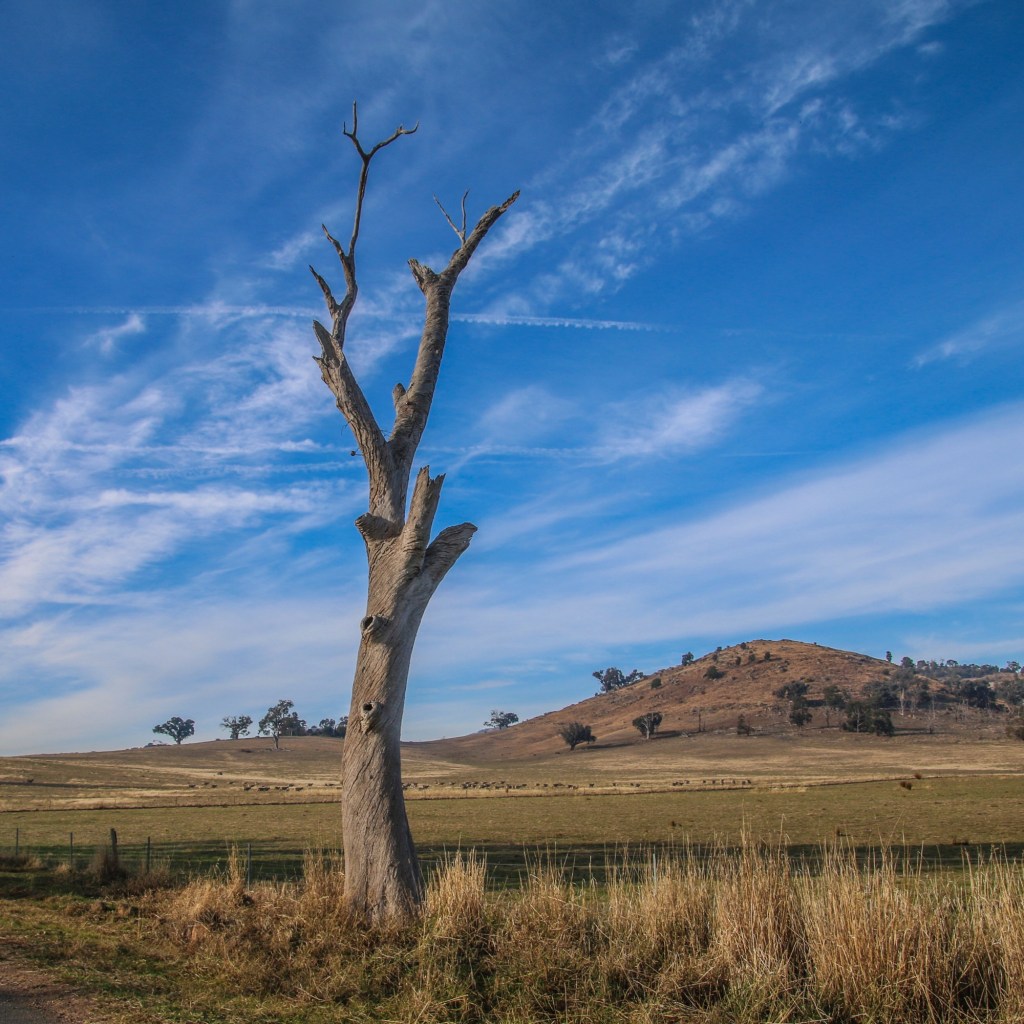
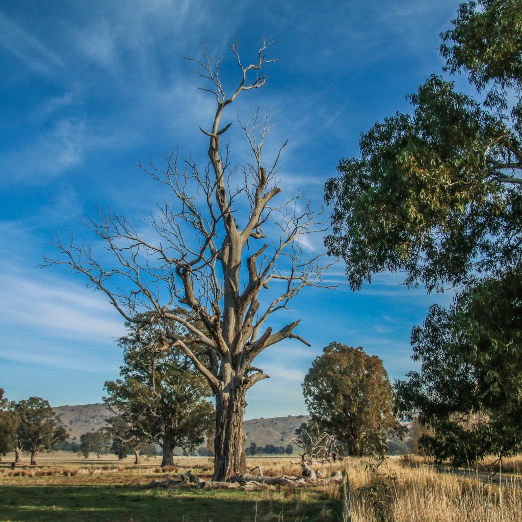
Hazards

Snakes, tree and limb falls, flowing water, uneven ground and slippery surfaces

Restrictions

  • No camping
  • No horses
  • No dirt bikes

Trailhead sign

  • Not present

Directional signs / bollards or trail markers

  • Present, but not always and can be unclearBrochure  – HREP brochure available

Conclusion

This is an established, easy, bushy parkland walk with options for longer or shorter loops available. It is currently in frequent use by the public.