Tableland Talk, December 2021
Reply
A bit late to the blog, I almost forgot. Apologies to those few who like to have a look at TT.


1. The Blues Brothers Original Motion Picture Soundtrack. If Aretha Franklin, Ray Charles and The Blues Brothers can’t make you want to shake a tail feather – nothing can. Music makes my day, every day.
2. A fresh celery stick smeared with crunchy peanut butter along its middle. Groovy!
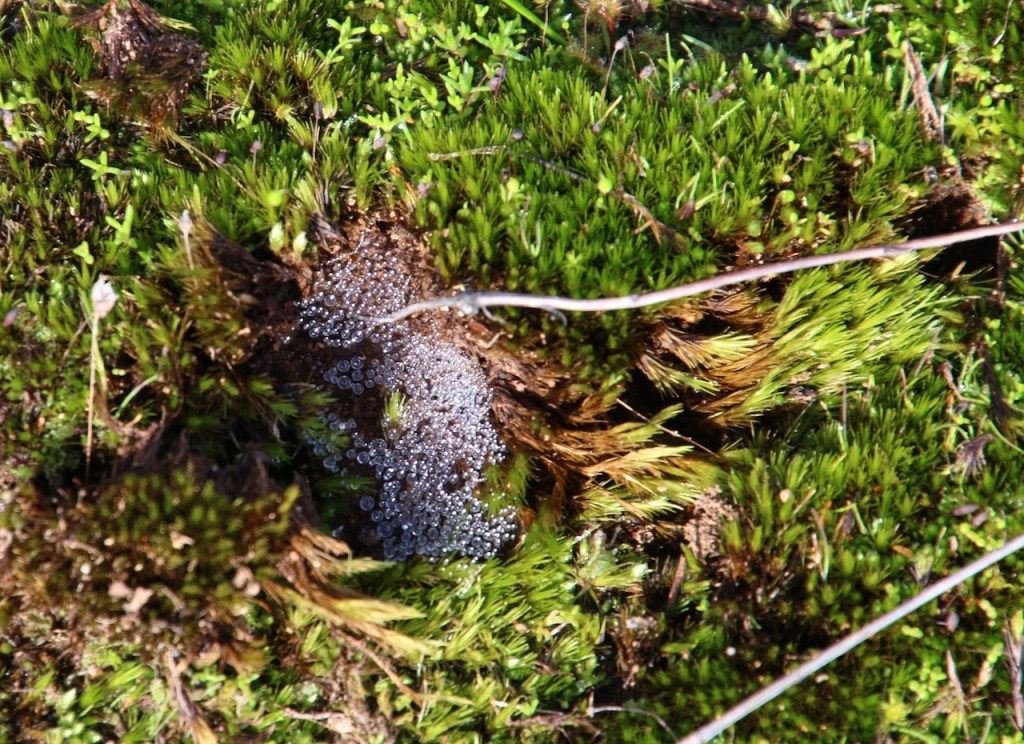
3. Watching seedlings grow in the greenhouse. I had forgotten how fascinating it is to plant a seed, check it regularly, see it emerge and leaf. Such an everyday occurrence and yet so incredible.
4. Taking the time to get informed and then complete a significant survey with objectivity. I am confident the Euroa underpass surpasses the overpass. The Euroa Connect volunteers have done a very professional job of campaigning accordingly.
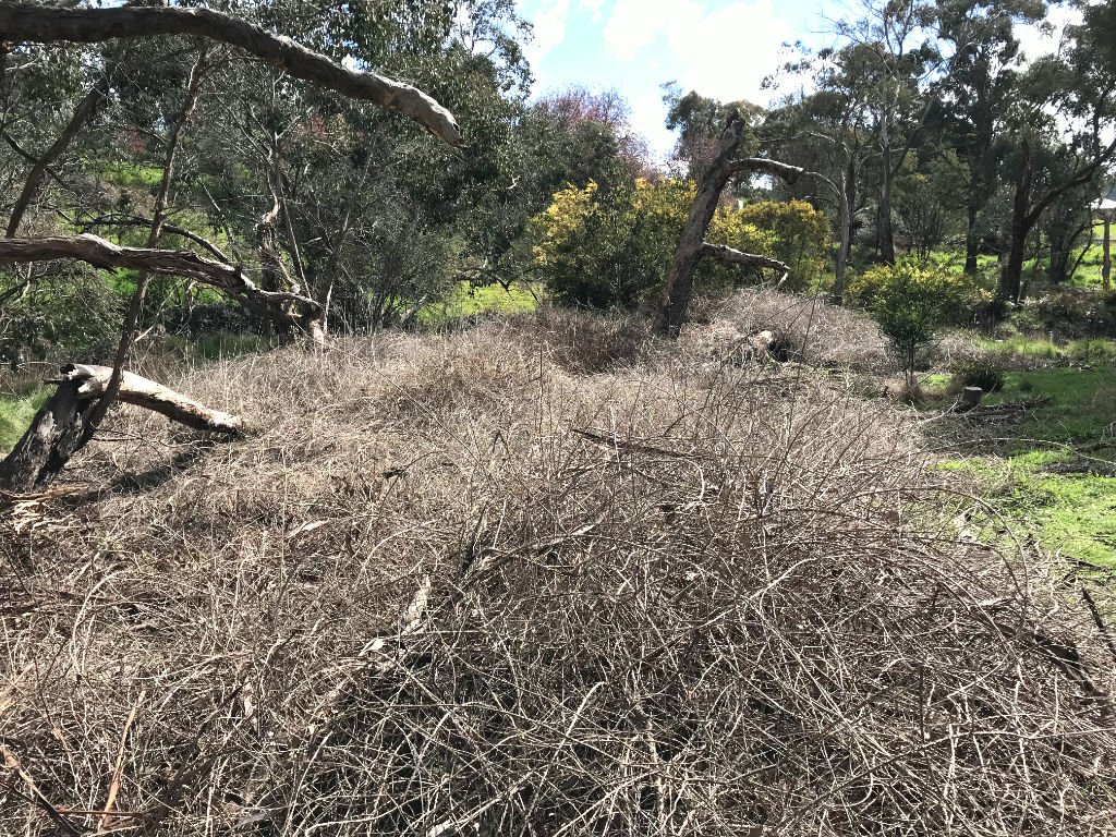
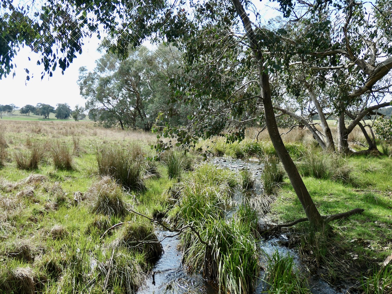
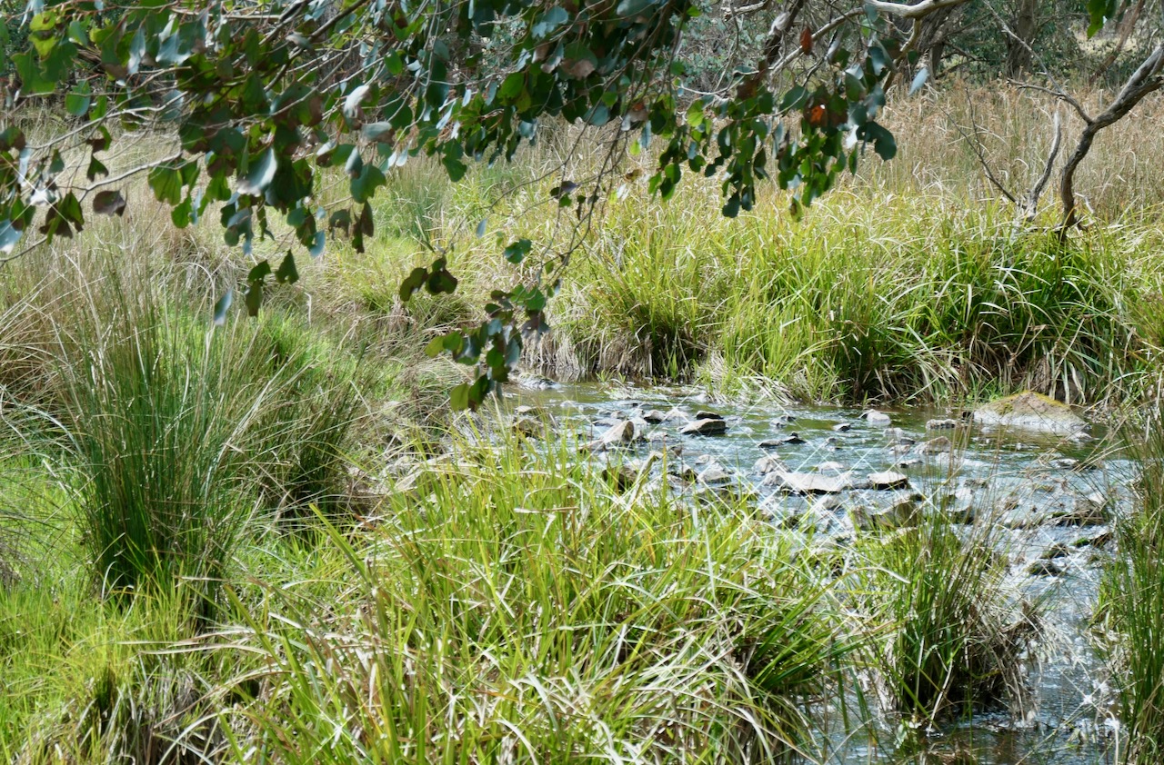
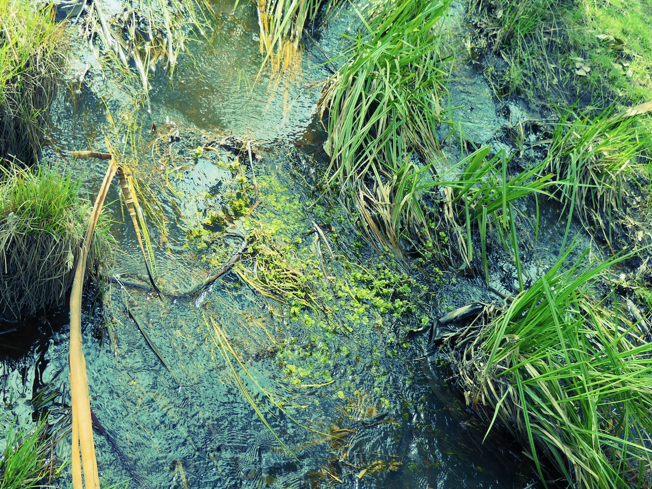
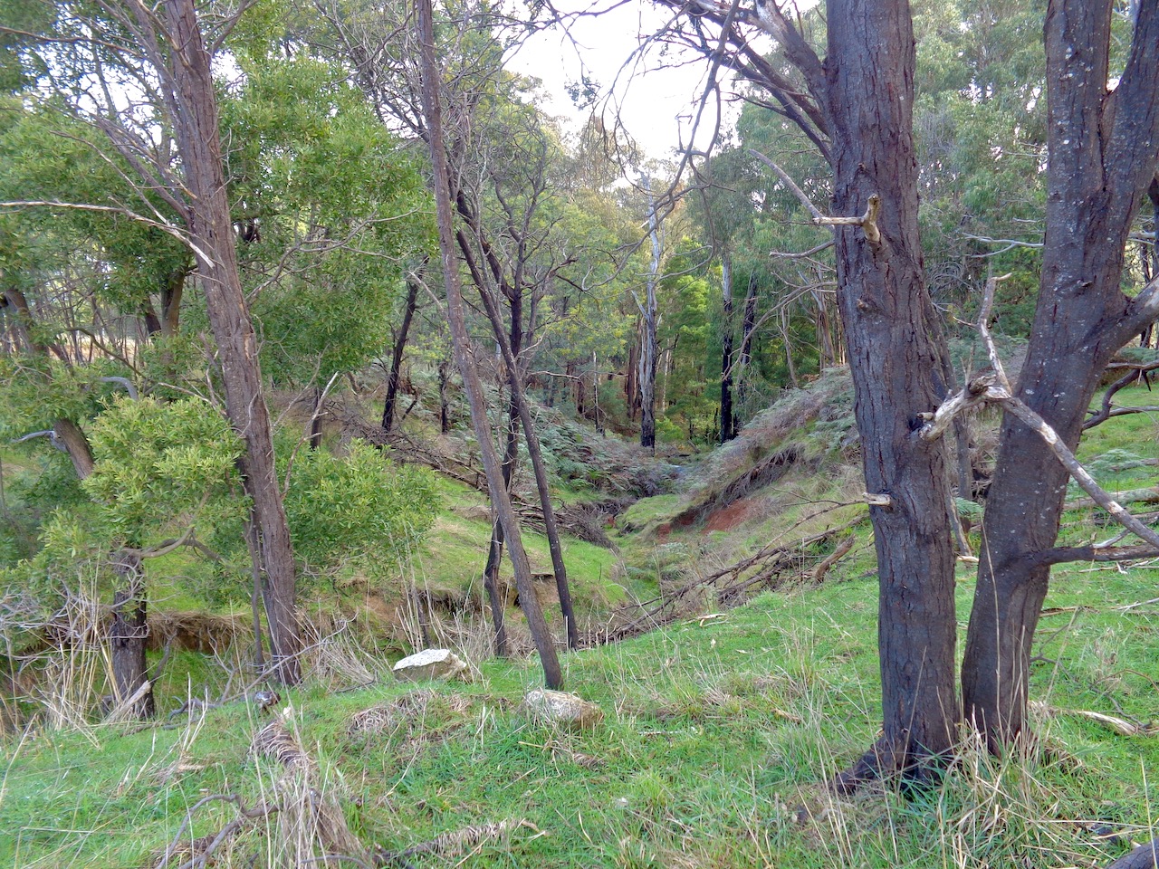
5. Removing a scourge of our bushland – Blackberries. Here, and in many parts of Australia, there are no constraints on their growth. They can smother vast tracts of indigenous flora. This particular work has been four years in the making. It felt so good to finally start mulching these dead canes. Once this area along the Seven Creeks is revegetated it is going to look its natural self and amazing once again!

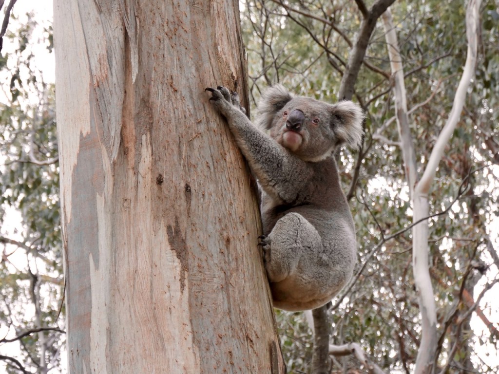
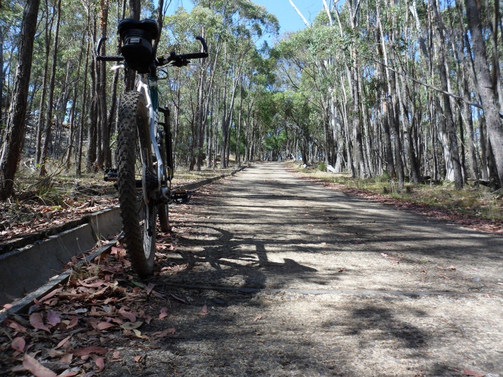
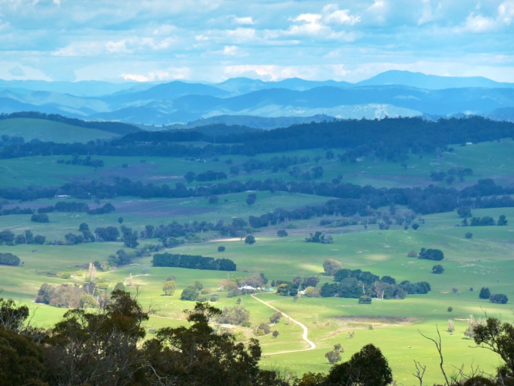
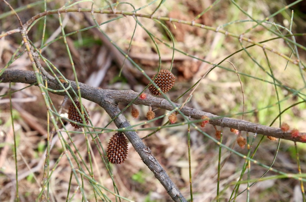
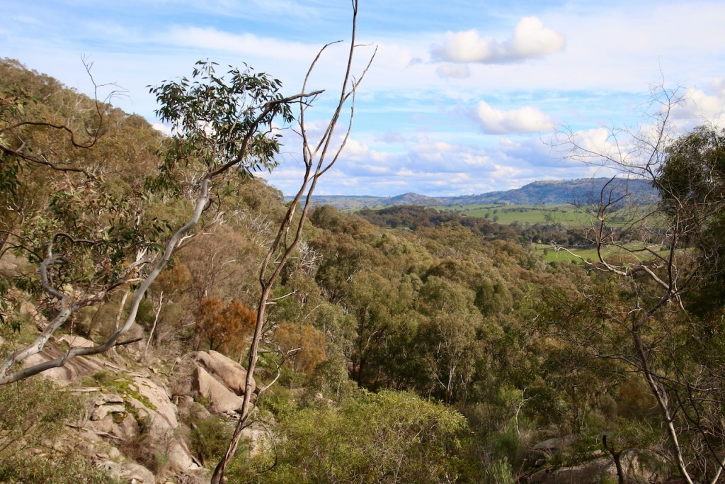
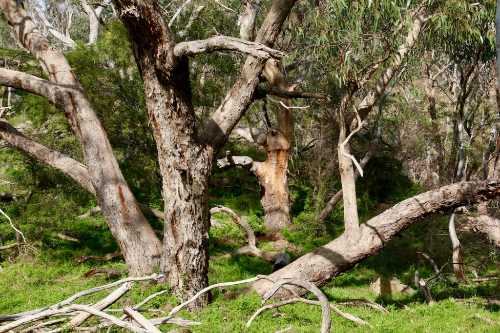
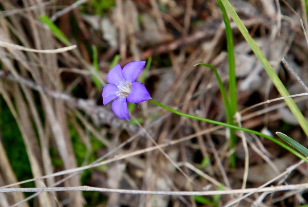
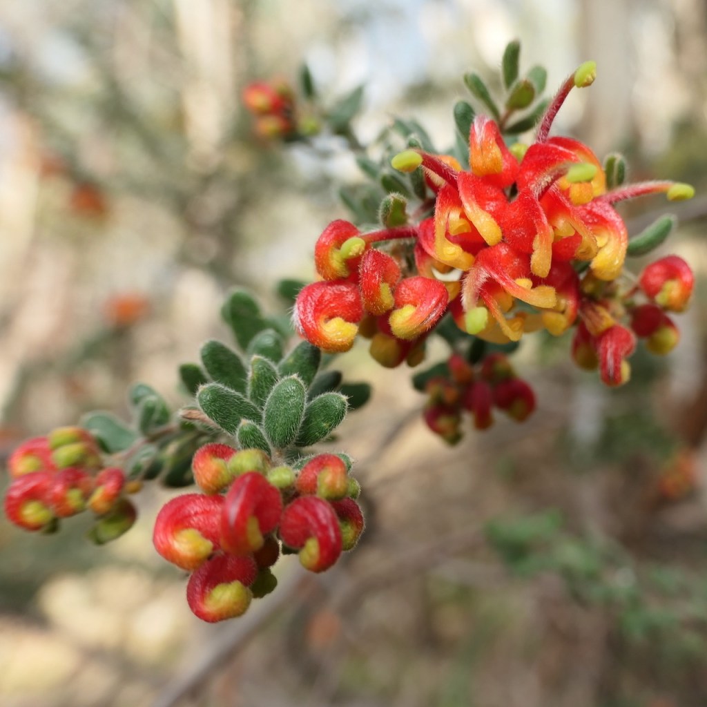
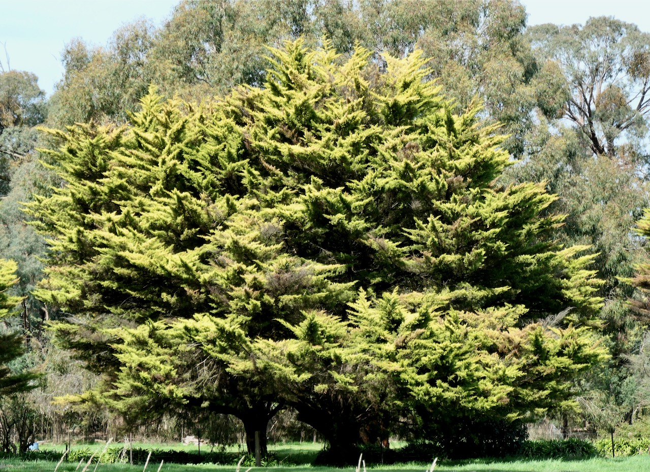
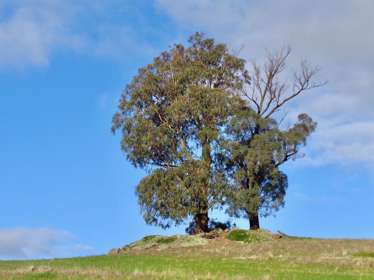
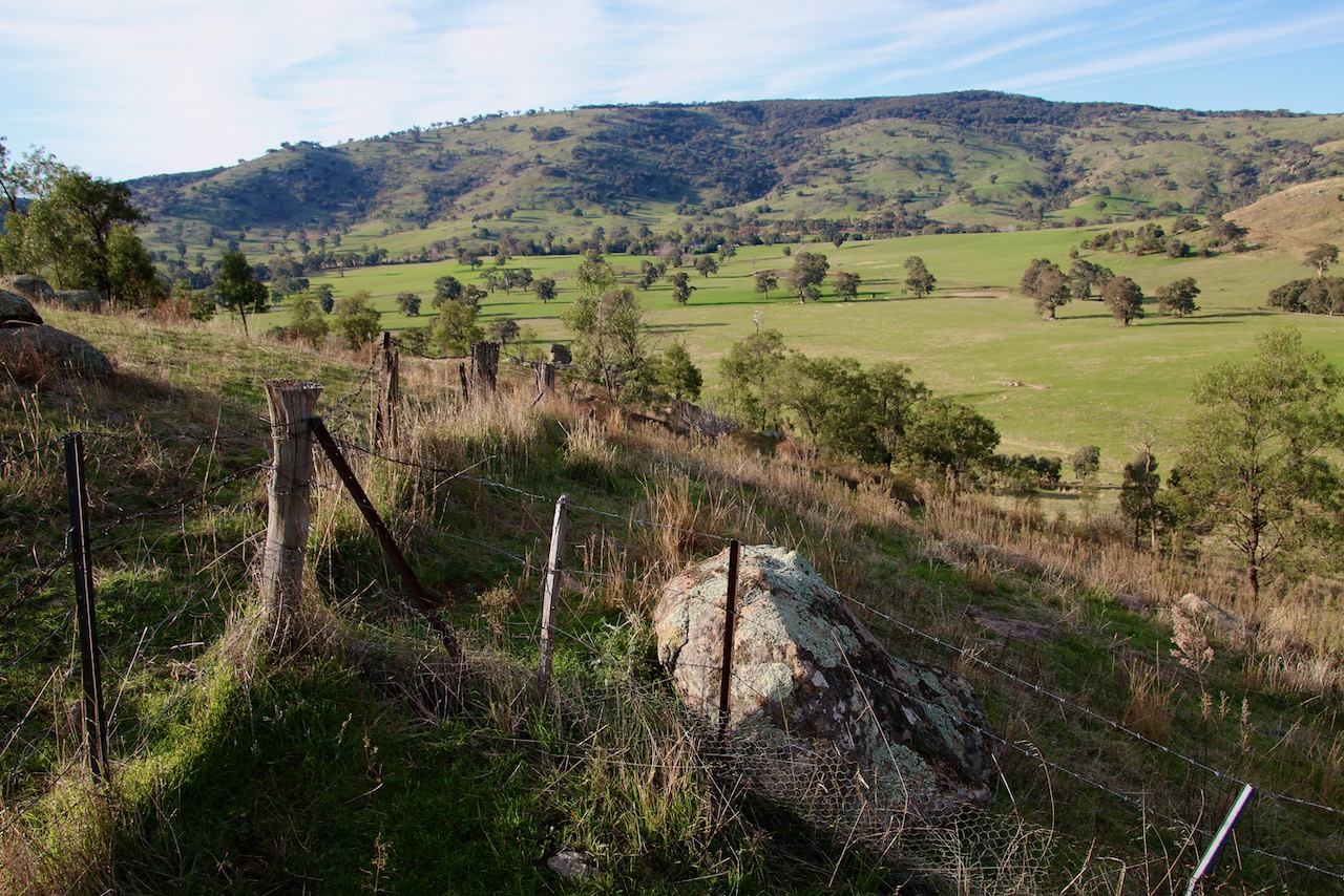
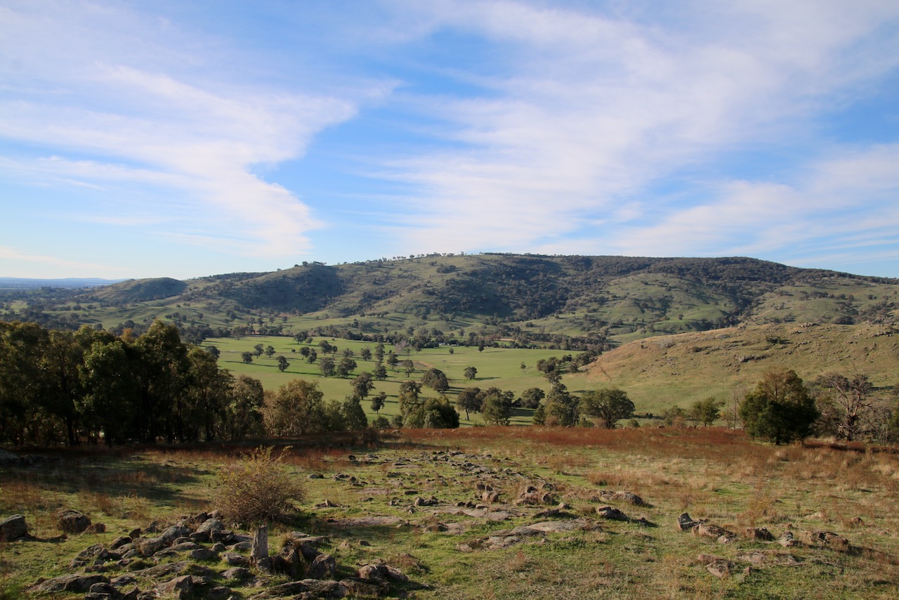
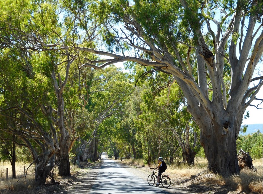
What is so secret about Mt Wombat? You would think every local knows about it, most have driven up to the summit to take in the magnificent views and returned home again. Well, maybe the question should be rephrased. How many have really seen Mt Wombat? The views are only part of the story. When driving you miss so much. You have to either cycle or walk for the full forest, granite and wildlife experience. If you are used to time on a bike, a mountain bike or hybrid will do the job. The 16km return from Strathbogie Township is a great way to pass a rewarding half day of exploration. Granted it is a steady incline and the final approach may require some walking your bike. You will not be disappointed and it is all downhill on the way back.Otherwise, ebikes are perfect for this route. You will still get your workout, granted with more comfort. That final steep approach will be taken in your stride. Stopping along the way to soak up the forest experience will be hard to resist. If cycling isn’t an option or you want an even slower immersion in the landscape, walking is the way to go. Park at the intersection of Mt Wombat Rd and Mt Wombat Lookout Rd for a lovely 5.5km summit return. It is truly as pretty as can be.See what secrets you can discover in Mt Wombat Forest.No matter which method of transporting yourself you choose, make sure you are appropriately equipped for self reliant cycling or walking. Carry food, water, First Aid, nav aids and be SunSmart.
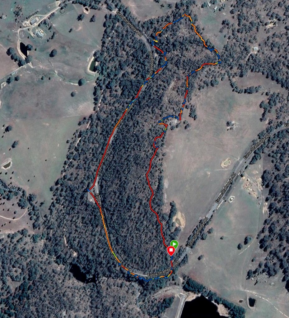
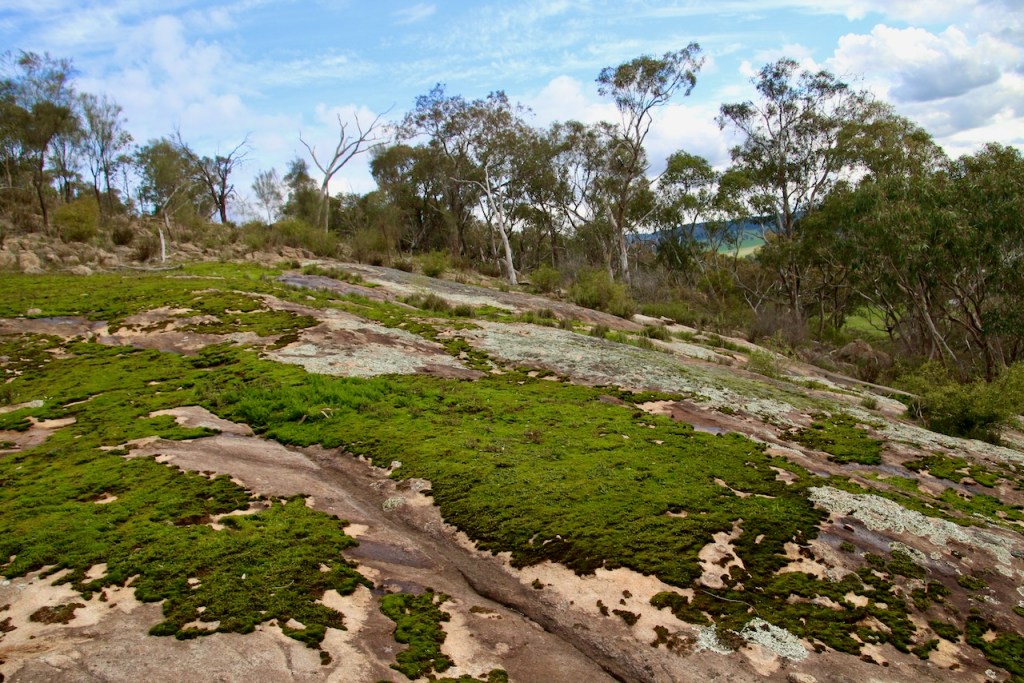
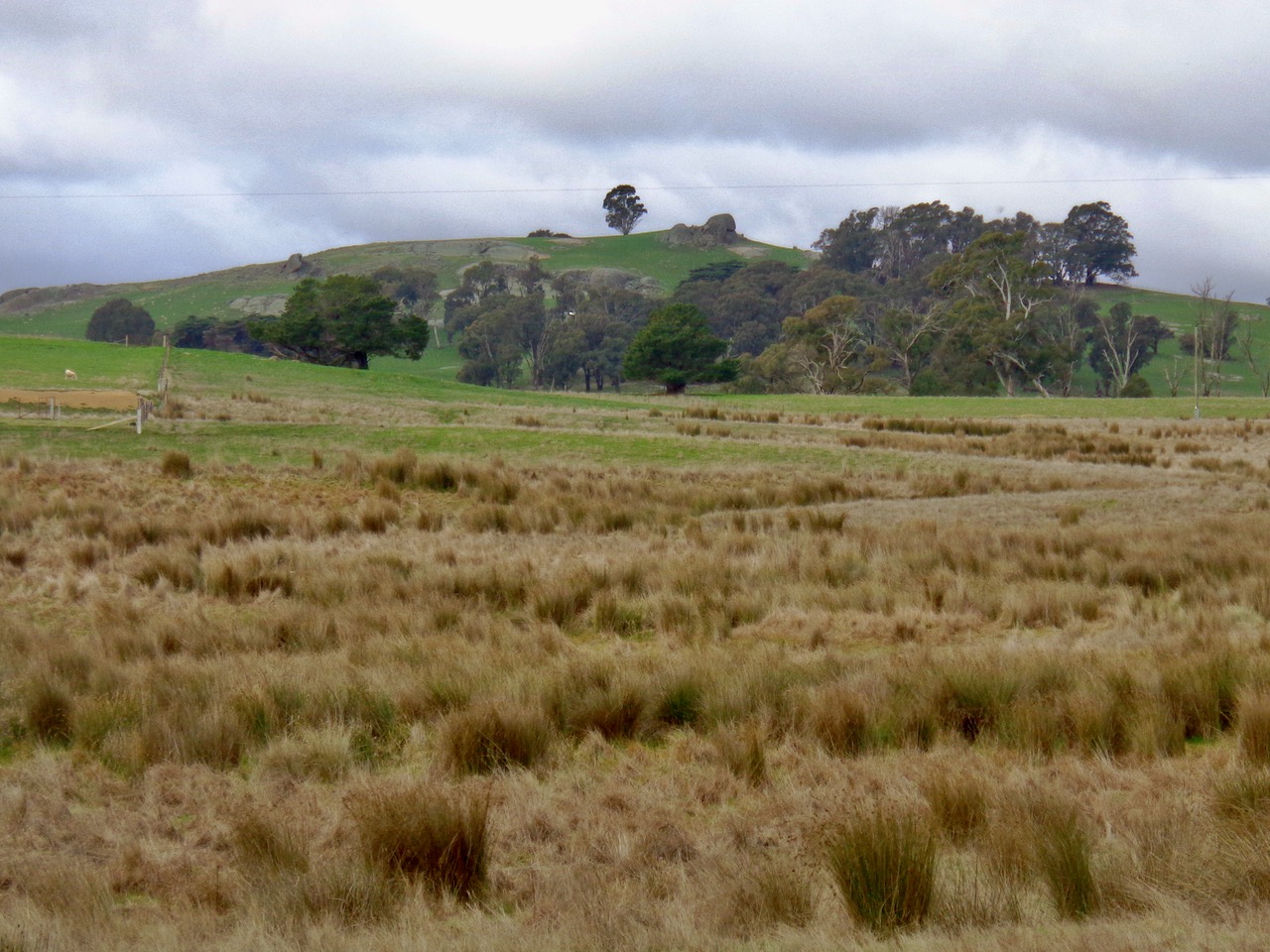
3km loop. Difficult terrain. Take food, water, first aid. Be SunSmart and equipped for self reliant hiking.
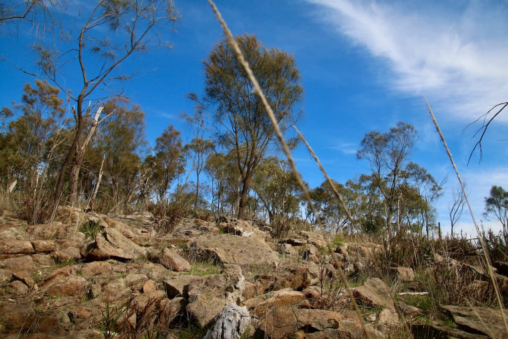
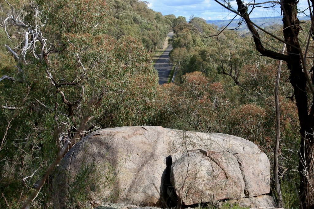
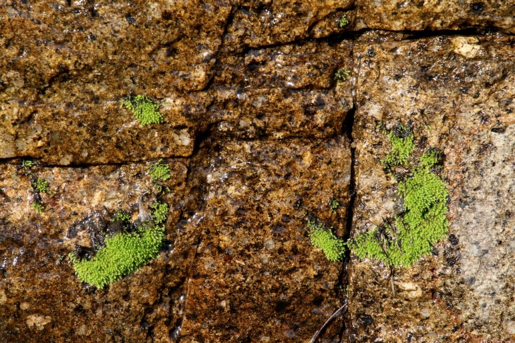
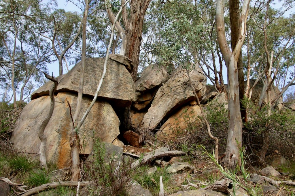
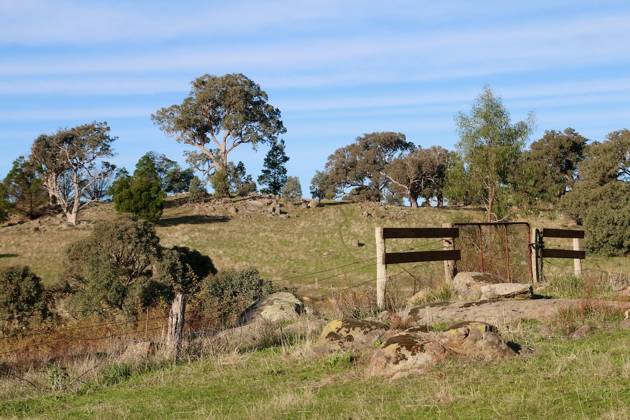
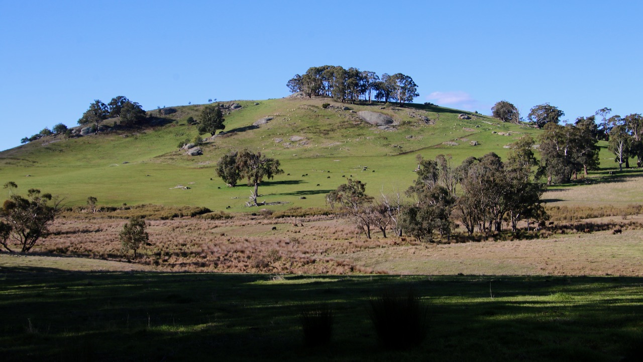
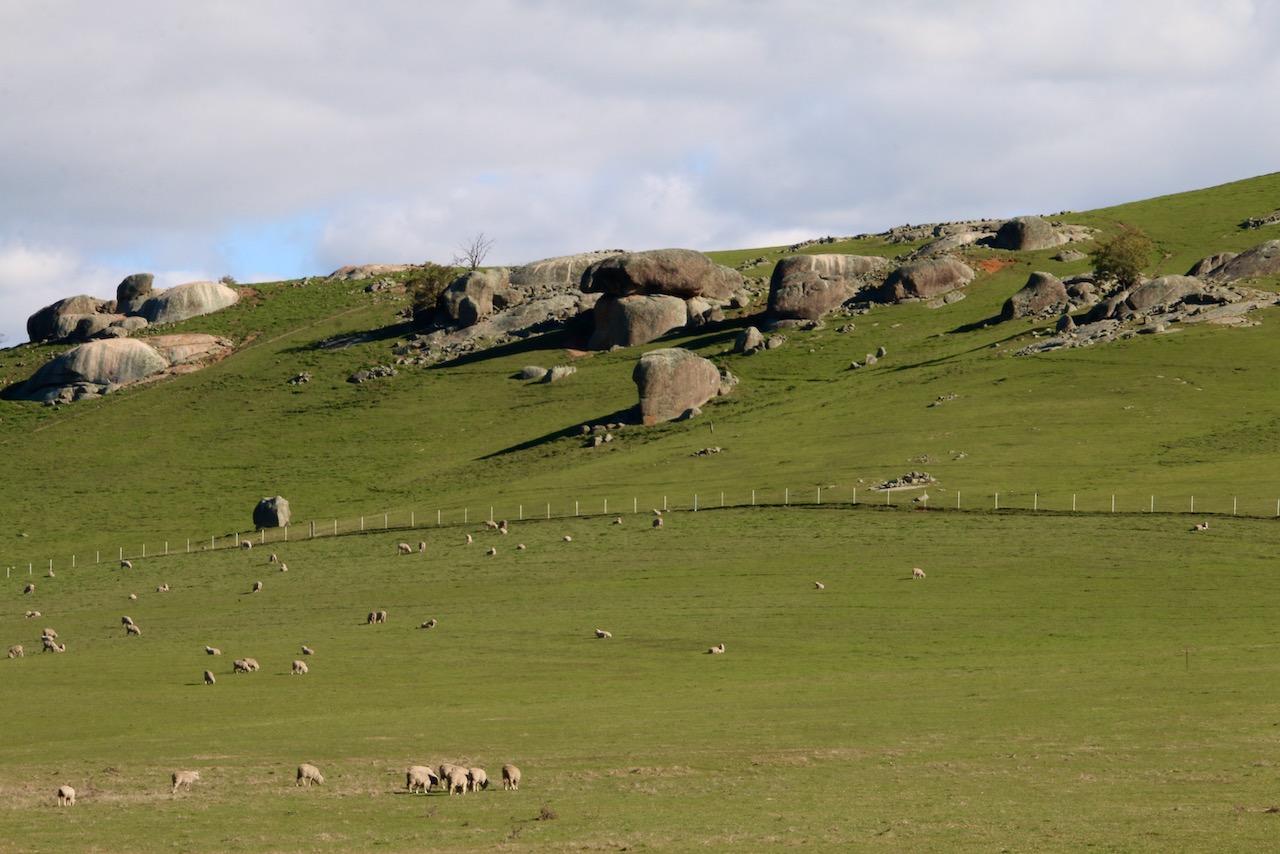
Opposite the gate to Waterhouse Reservoir is a small, outcrop seeking dirt track of a few hundred metres. There is plenty of room for parking at its beginning. Walking up is the best way to engage with the site. Despite the early stretch of track being partially littered with dumped rubbish and trees vandalised by illegal firewood cutters, walking is the best mode to discover the promise of this Reserve. Once you get to the rocky crown things change. The promise of natural world beauty and great views is kept.
Beyond the crown the track gives way to rocky open woodland. Follow the fence-line on your right to keep within the boundary of the Reserve. It will return you to the Euroa-Strathbogie Rd at the base of the hill. Take forays to the interior whenever you see something interesting to explore.
Once you get back to the road you have 3 options to return to your beginning point. 1. Return the way you came. 2. Clamber up the rocky slope on the eastern side of the road. 3. Walk up the road itself on the outside of the safety barrier.
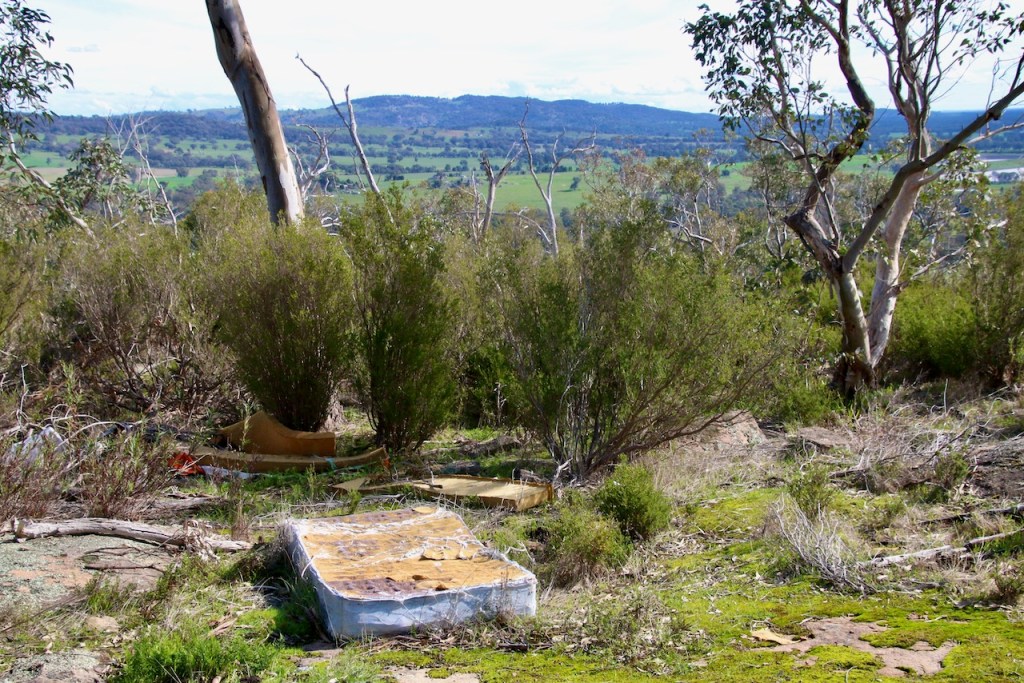
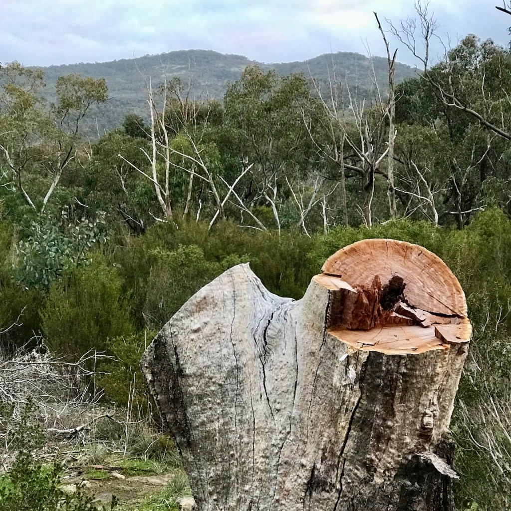
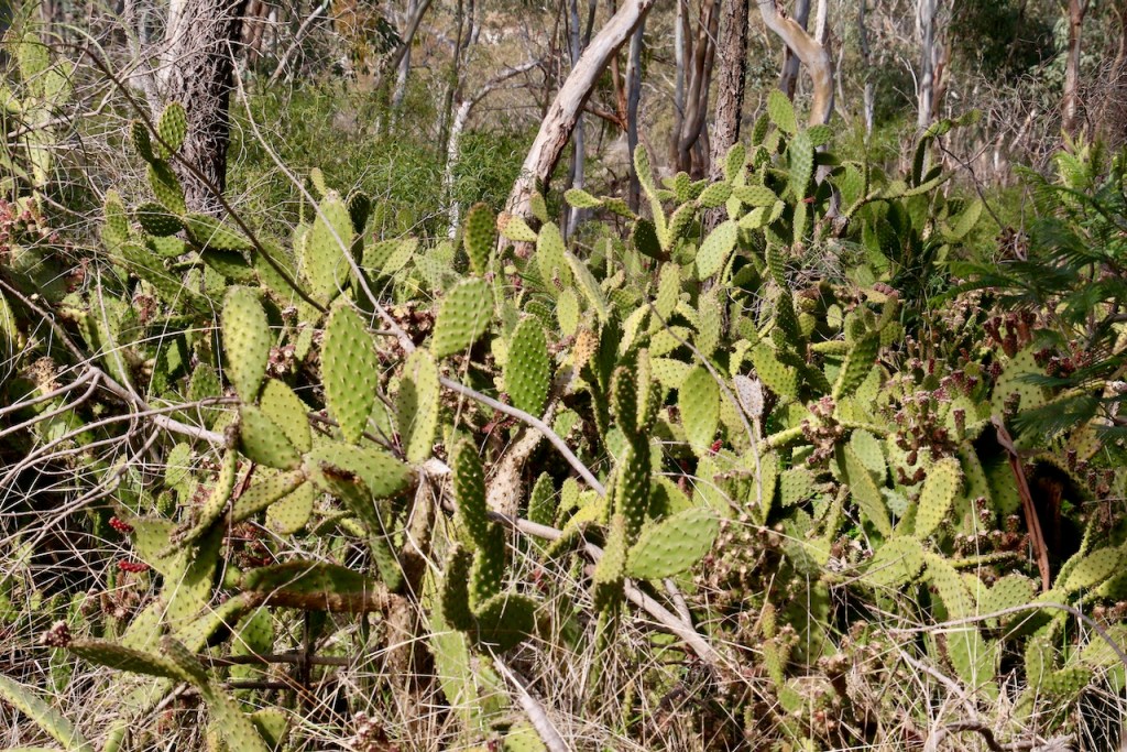
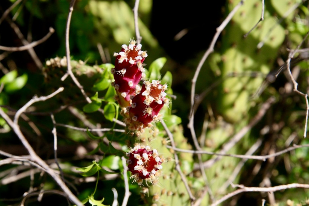
Neglected Reserves can be subject to abuse. This little known Reserve is one of those. Infrequently visited by those with good intent, it has fallen victim to abuse by the unobserved. Rubbish dumpers, illegal tree fellers and firewood collectors, more recently those intent on damaging vegetation for dirt biking. On top of this, there is also a Prickly Pear infestation. What can be done?
One answer is to alert environmentally respectful observers and walkers to the natural world beauty of this place. Encourage visitation that promotes conservation, advocacy and discourages the minority who think these places exist only for them to covertly exploit and damage.
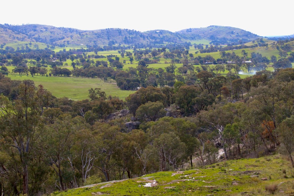
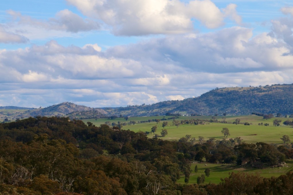
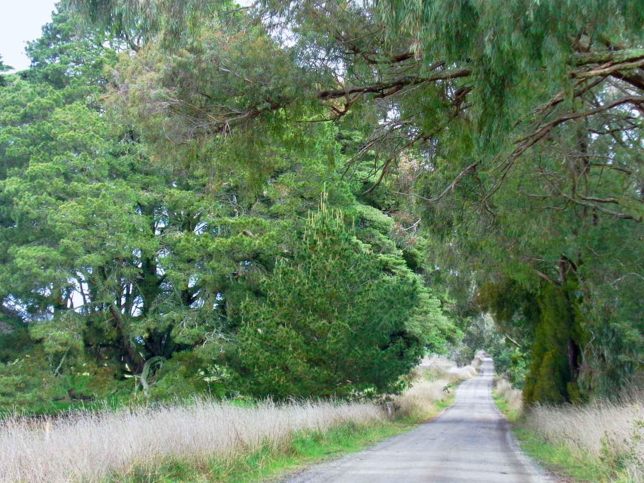
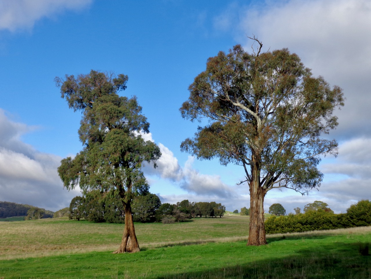
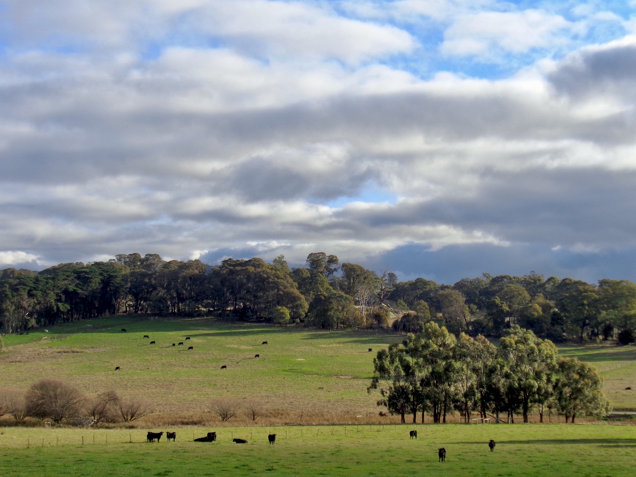
Good for MTB, hybrid or ebike, this is a 14km loop starting from Strathbogie Township. Head out of town along Euroa – Strathbogie Rd, turn right into Mackrells Rd (dirt), right again into Creek Junction Rd, right again into Spring Creek Rd. The roadsides are heavily treed. The vistas are of the rolling hills and pasture atop the Tableland. It is very pleasant cycling.


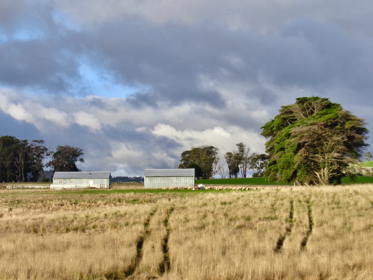
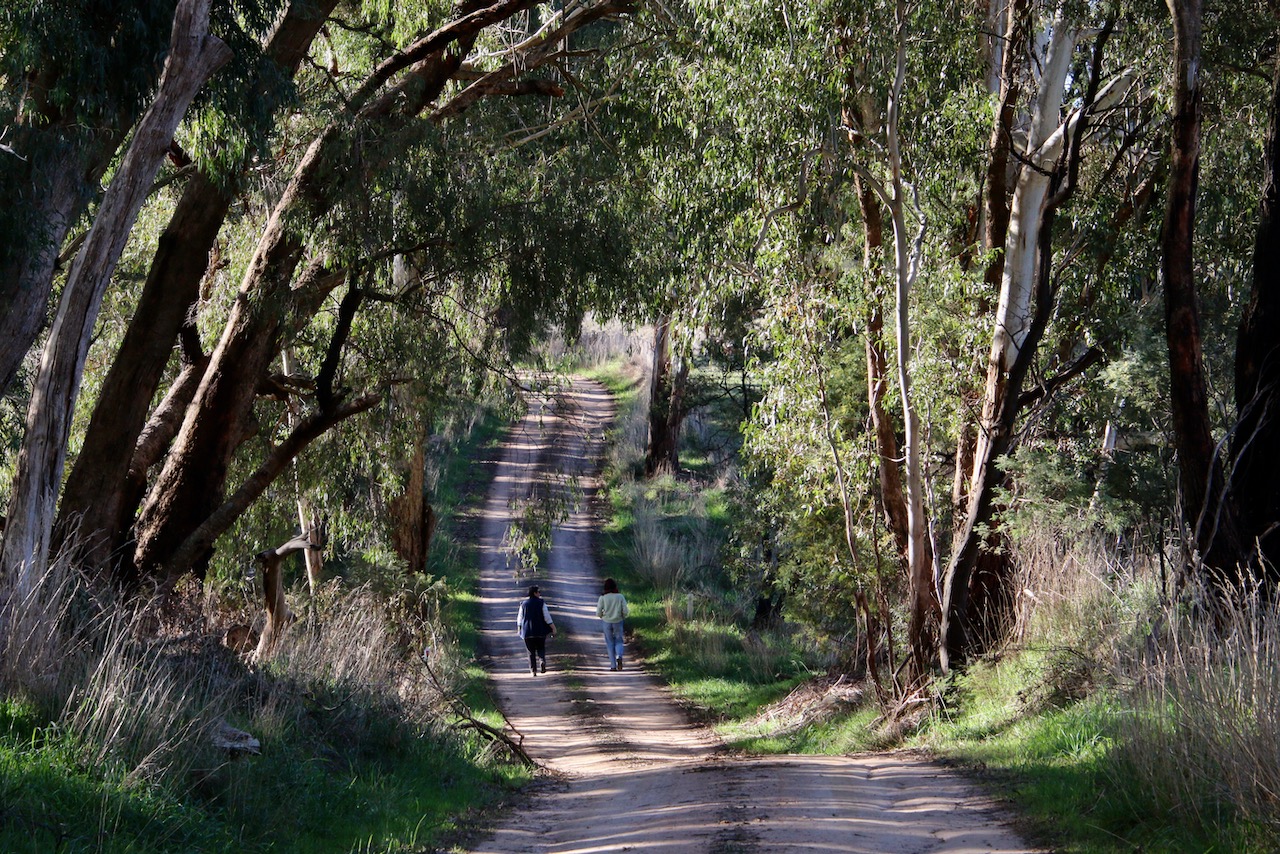
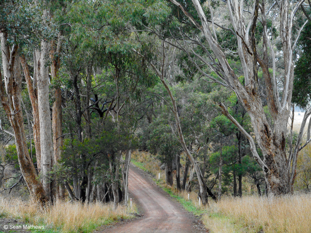
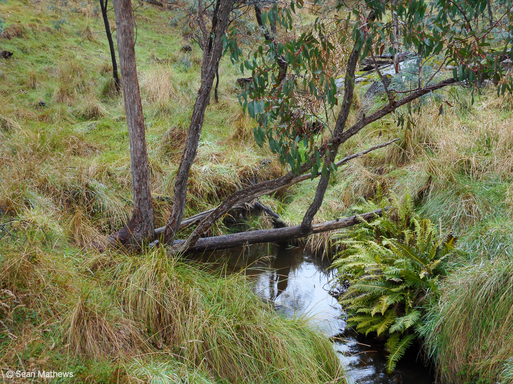
Walking anytime is great. Walking during lockdown is even better! As we continue our quest to walk all the roads, tracks and trails of the Tableland, we continue to enjoy the pleasures and surprises of the task. Hills Road made for another pleasant local walk.


A new edition of the local newsletter.
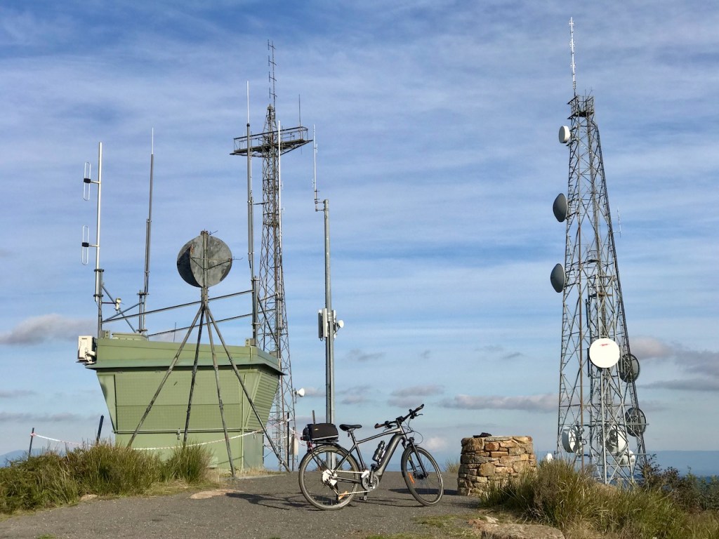
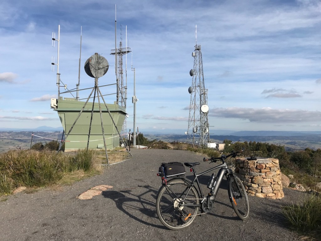
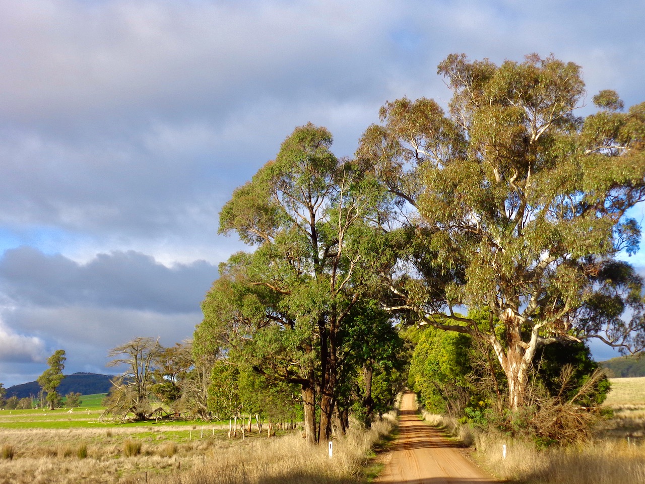
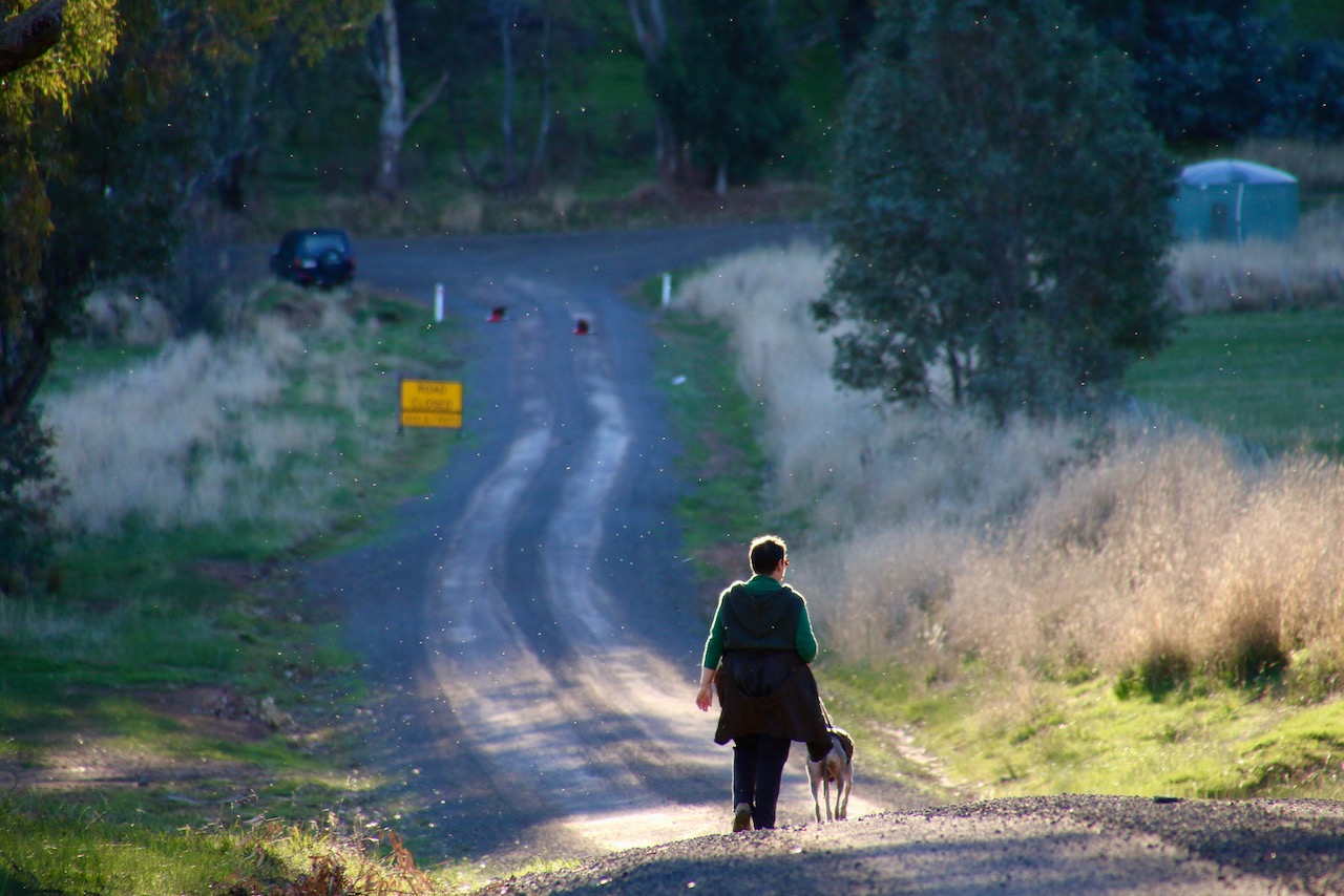
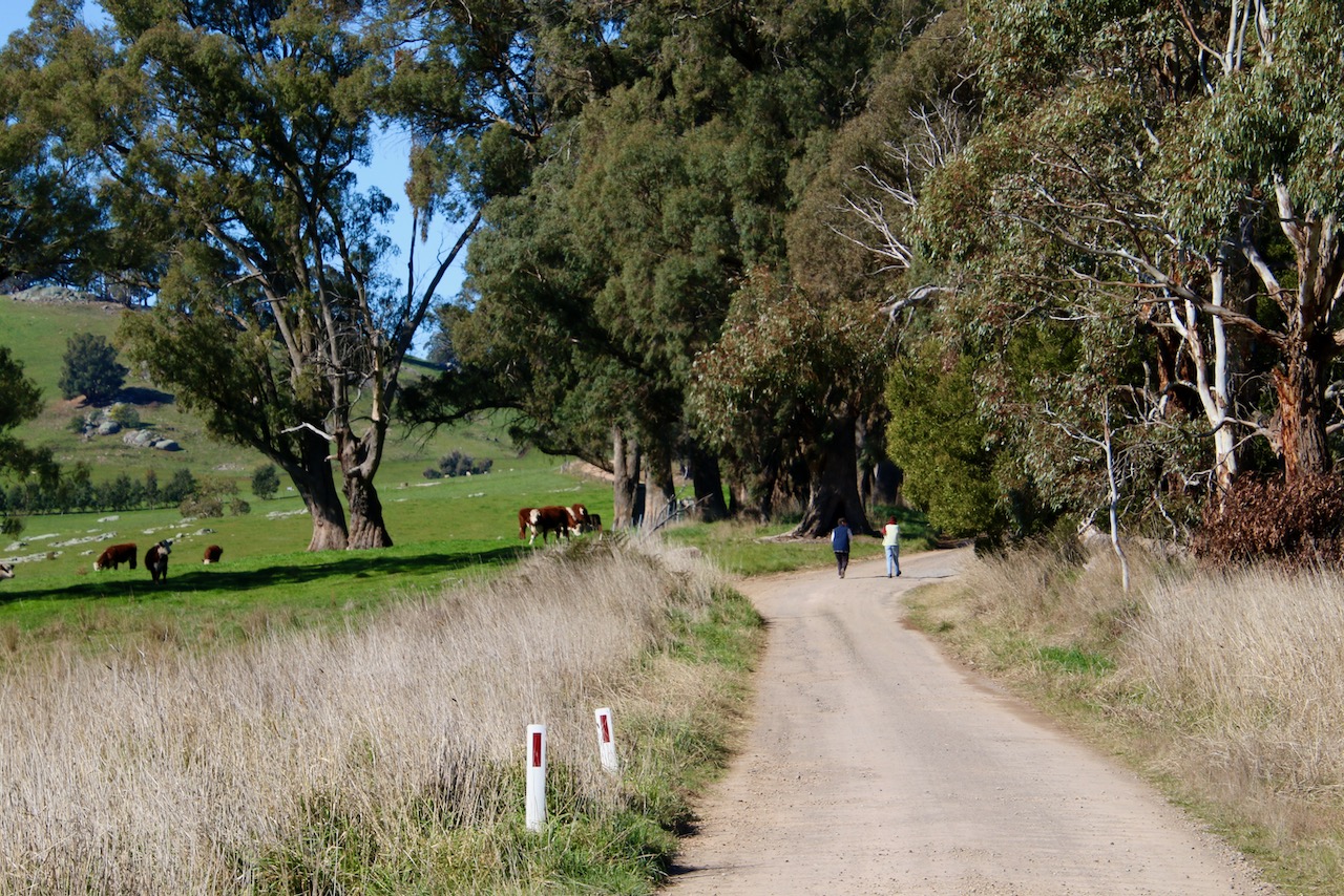
A pleasing 5km return walk along a rural dirt road to an unexpected roadside tower and back.


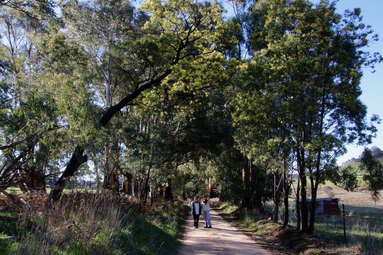
An easy 7km rural lane return walk from Ankers Rd to the end of Palmers and back.


Wet and muddy ground
Winter chill is all around
Warm fire must be found


Wet and muddy ground
Winter chills broken hearts
Warm fire must be found


Strathbogie poetry

#strathbogiepoetry
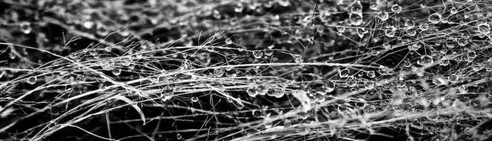
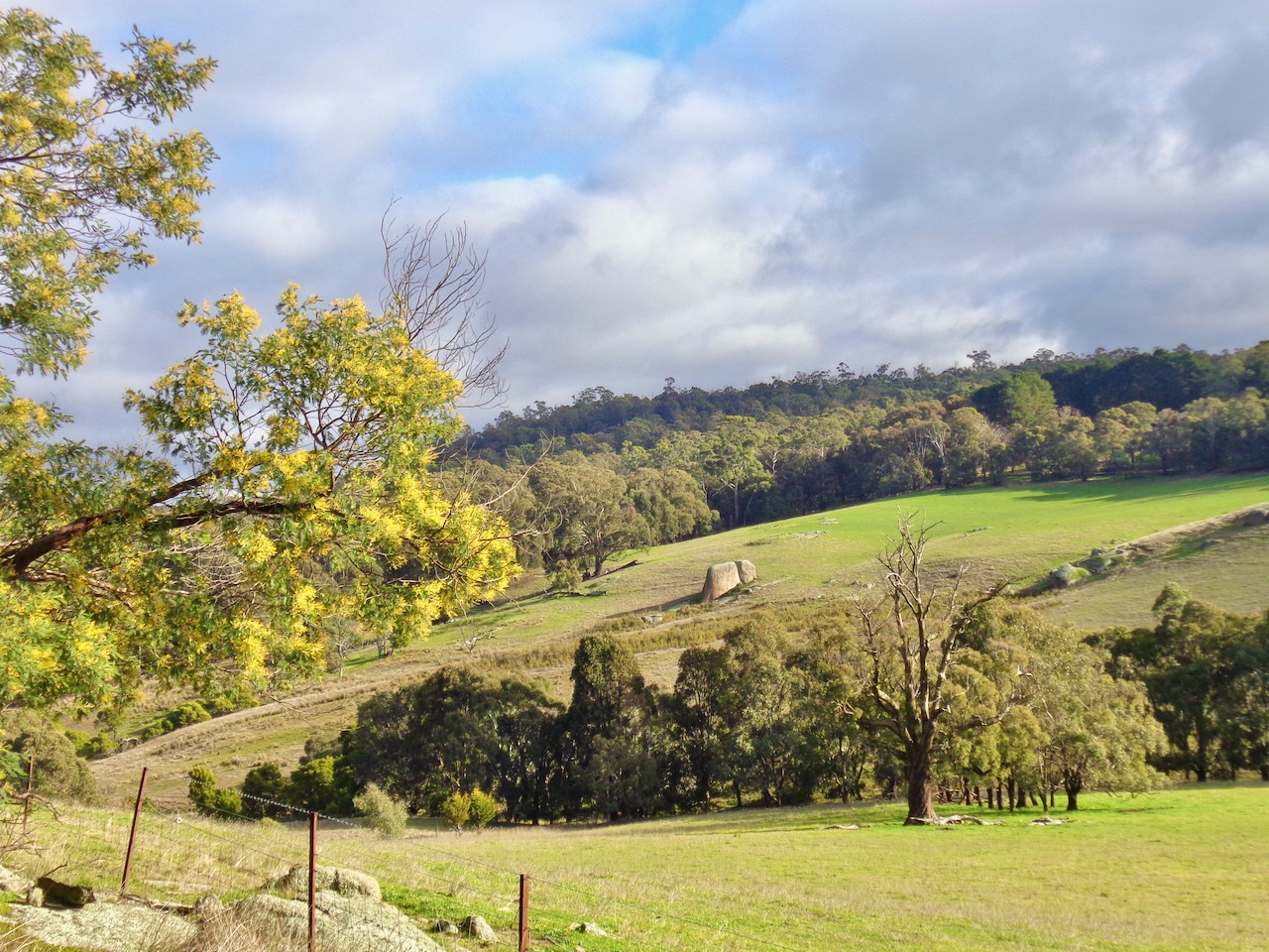
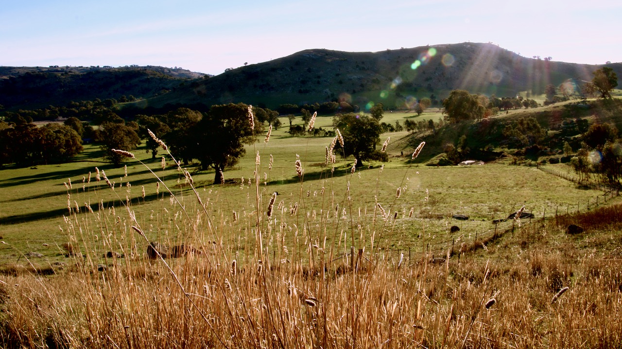
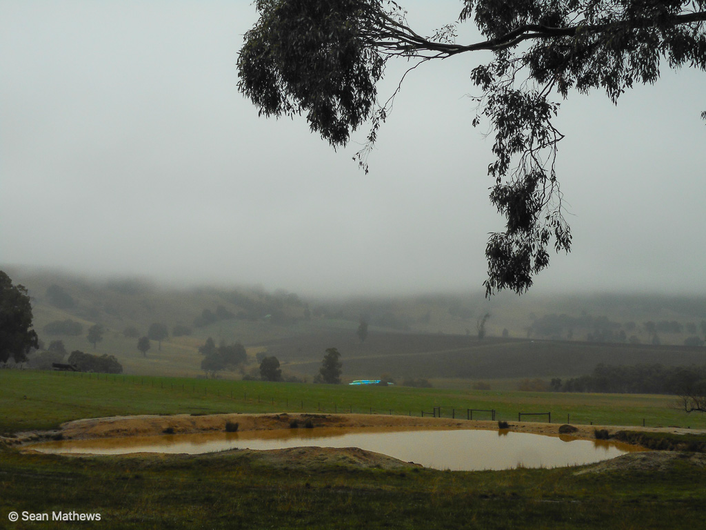
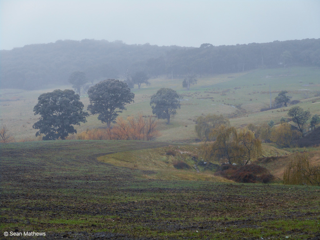
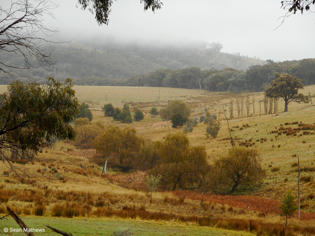
Another pretty Tableland walk with plenty of winter ambience. It was cold and wet with a constant misting rain. There was a low and heavy cloud cover. Everything around us was beautifully sodden. A perfect day for a winter walk on the Tableland. We did a 6km return from Harrys Creek Road. Next time we will come up from the Fern Hill Road end to further close the gap in our ongoing quest to walk all the roads of Strathbogie Tableland.


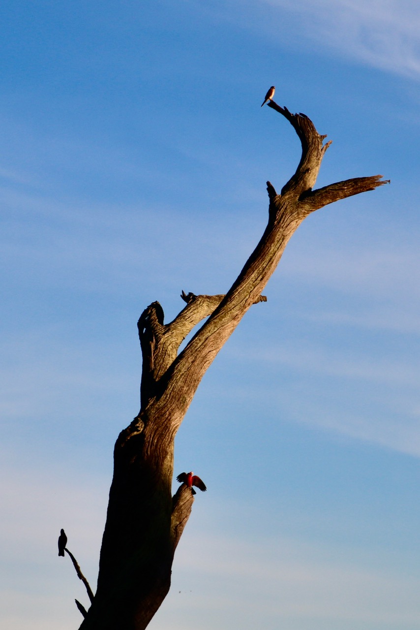
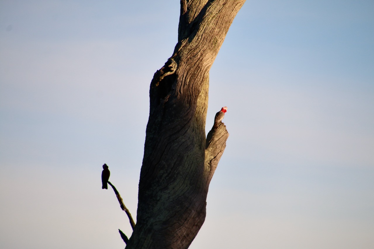
strathbogie walks #strathbogiewalks strathbogie photography #strathbogiephotography

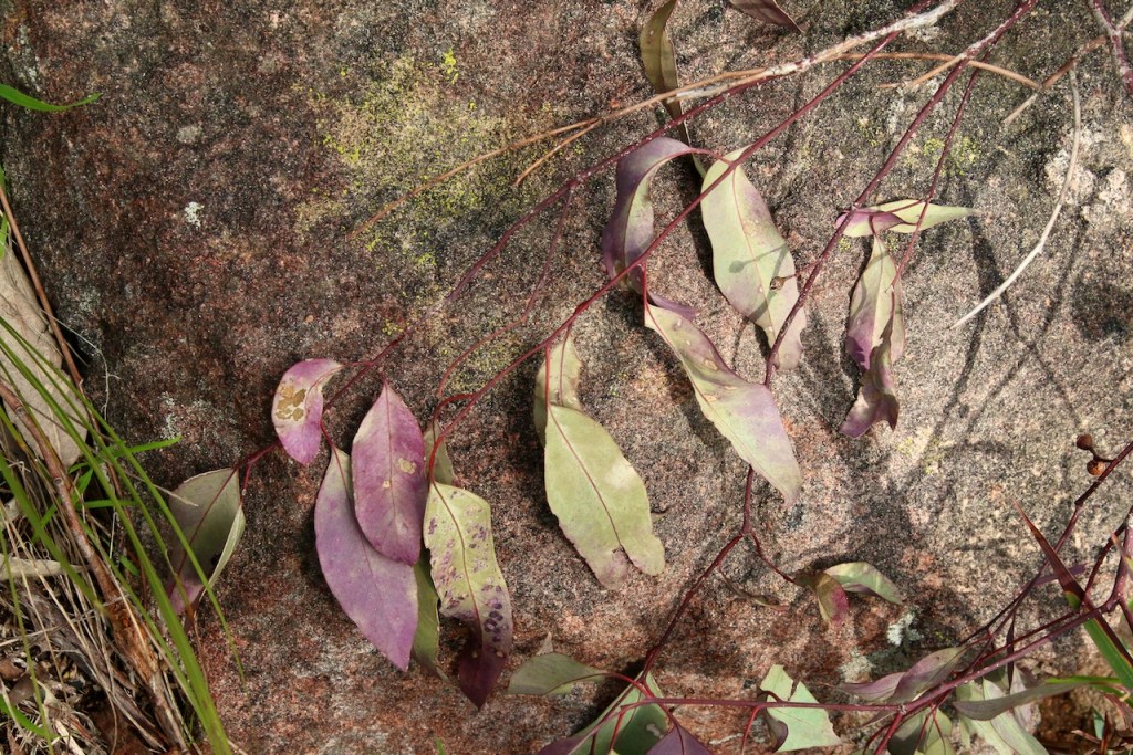
Autumn sees the trees
Losing greenery with leaves
Winter strips them bare


Autumn sees the trees
Losing greenery with leaves
Winter strips me bare


Strathbogie poetry #strathbogiepoetry

Fallen maple leaf
Colour faded to dull brown
Winter is coming


Fallen maple leaf
Together we fade to brown
Winter is coming


Strathbogie poetry #strathbogiepoetry

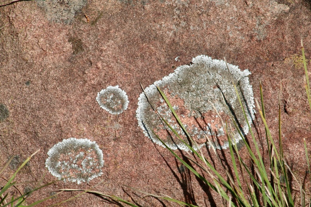
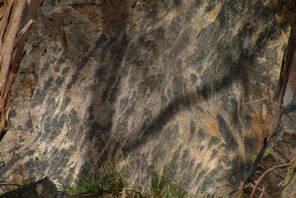
 Mountains old
 worn down
 by time and weather
 Peaks
 smoothed
 Summits
 rounded
 Rocks
 broken to
 new
 beginnings

 Stones to gravel
 sand to granules
 dust to mud
 growth to decay
 decay to soil

 Inclined to
 slippage
 Declined to
 fertility

 Treacherous
 nurturing
 home of the
 tenacious

 Boon to the
 potency
 of flood plains

 Mountains old
 are so much more alive
 than the hard
 sharp ridges
 and strewn
 craggy defiles
 of the young
strathbogie poetry #strathbogiepoetry
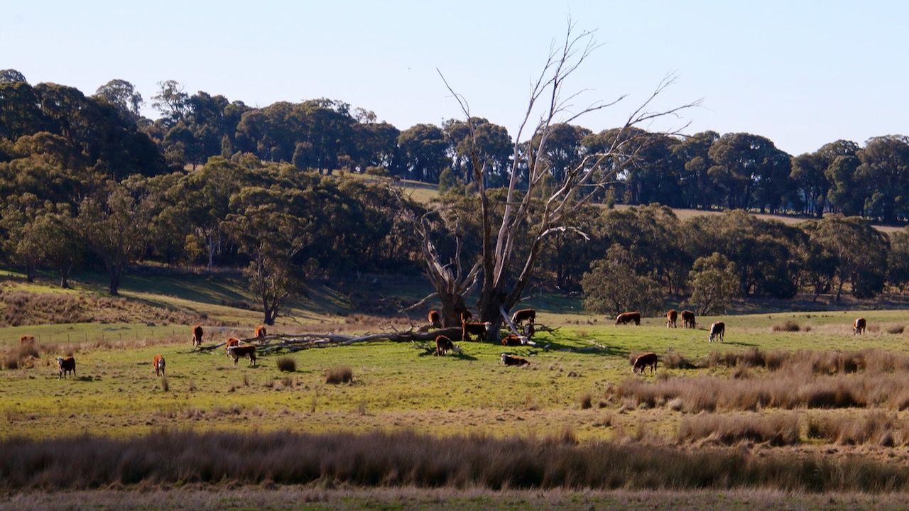
strathbogie photography #strathbogiephotography
Tableland Talk May, 2021


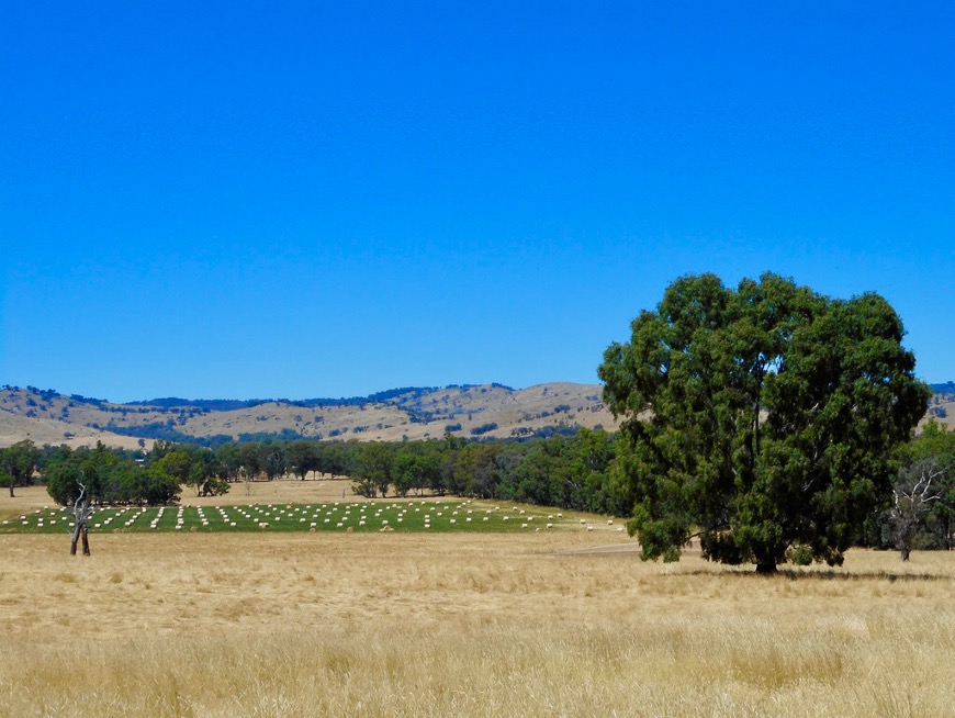
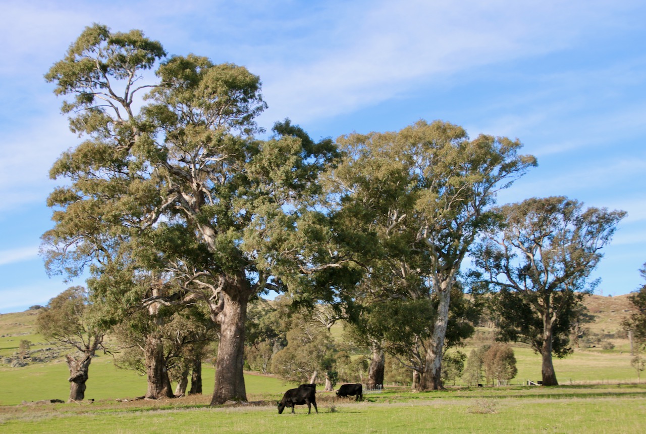
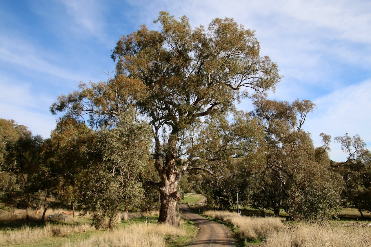
Hub & Spoke Cycling Route

Route Name:
Boho Foothills Loop

Start / Finish locations:
Violet Town Railway Station Corner Primrose and Cowslip St., Violet Town 3669

Mode:
eBike, road, hybrid, MTB

Map:
GPS 145.7164 -36.63884

Difficulty:
Intermediate: modest rises

Distance:
23km

Elevation:
179 – 252m

Topography:
Undulating terrain

Surfaces:
Good condition bitumen

Description and Features:
A pleasant loop that follows the line between the base of the Strathbogie Tableland and the plains surrounding Violet Town. Broad vistas, attractive landscapes, pleasant foothills and roadsides of aged River Red Gums.

Riding conditions:
Largely exposed to the elements

Anticlockwise Cues:
Start Violet Town Station
Head south east along Cowslip St
Straight Urmston St
Cross Hume Fwy
Straight Harrys Creek Rd
Left Hayes Rd
Right Boho Rd
Left Boho Church Rd
Left Smiths Rd
Left Boho Rd
Right Hayes Rd
Right Harrys Creek Rd
Straight Urmston St
Straight Cowslip ST
Finish Violet Town Station

Amenities (Violet Town):
Car parking
BBQ
Fuel
Shops
Seating
Parkland
Waterway
Playground
Picnic tables
Public toilets
Potable water
Walking tracks
Accommodation
Historic features
Sports Reserves
Swimming Pool
Railway station
Directional signs
Information signs
Off leash dog play
Flora and fauna habitat

Cautions:
Limbs may fall
Uneven ground
No potable water
Subject to flooding
Road surfaces vary
Snakes may be active
Beware of vehicle traffic
Mobile reception may be unreliable
Carry food, water, First Aid, be SunSmart
Be equipped for self-reliant riding

Restrictions:
Take rubbish with you
Historic relics are protected
Native flora and fauna are protected
Riders must use formed roads only
This morning’s interview with presenter Matt Dowling regarding my work on tracks and trails promotion in the Strathbogie region. Commences at 43.30minutes.