
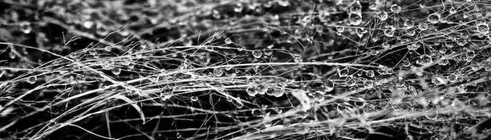
This pardalote resides near the ground
a nest, burrow or embankment
"sleep dee dee" is its call
a sighting generates excitement
Photography days #27.
All work is my own and subject to copyright. I do not use AI. I do not want AI to use my work.
This pardalote resides near the ground
a nest, burrow or embankment
"sleep dee dee" is its call
a sighting generates excitement
Photography days #27.
All work is my own and subject to copyright. I do not use AI. I do not want AI to use my work.
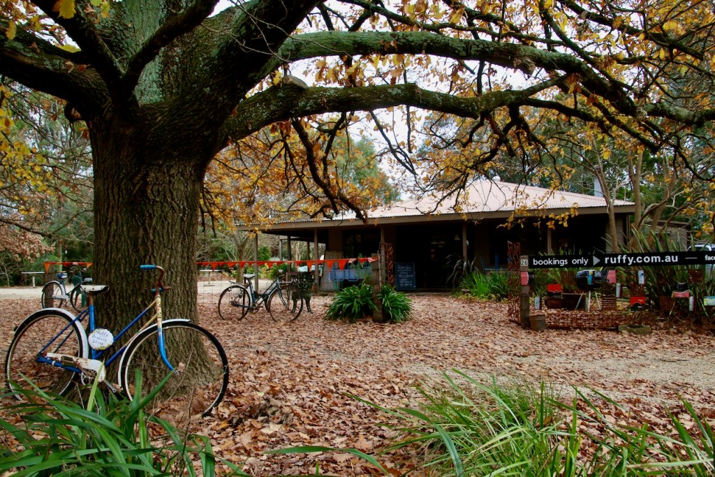


Hub & Spoke Route Name: Ruffy - Red Gate Lane Loop Mode: Gravel Grinder Start / Finish locations: Corner of Longwood – Ruffy Rd & Nolans Rd., Ruffy 3666 Difficulty: Intermediate Distance: 14.5km Elevation: 394 – 547m Topography: Undulating with some steep inclines Surfaces: Longwood – Ruffy Rd is sealed Nolans and Red Gate Lane are gravel Description and Features: Depart the Ruffy main street for rolling green hills of pasture, sweeping views and treed roadsides Rocky outcrops Riding conditions: Little traffic, road conditions are generally good, can be very hot in summer and cold in winter Options: Clockwise or anti clockwise Amenities (Ruffy): Ruffy Store open intermittent hours or by booking Car parking Seating Parkland Playground Accommodation Historic features Sports Reserves Directional road signs Information signs Cautions: Steep climbs Soft shoulders Uneven ground No potable water Slippery surfaces Subject to flooding Road surfaces vary Snakes may be active Beware of vehicle traffic Mobile reception may be unreliable Be mindful to keep within the Reserve Carry food, water, First Aid, be SunSmart Be equipped for self-reliant riding Anticlockwise Cues: Start corner of Longwood – Ruffy & Nolans Rd Straight Nolans Rd (west) Right Red Gate Lane Right Longwood – Ruffy Rd Finish corner of Longwood – Ruffy & Nolans Rd
Trail Checklist
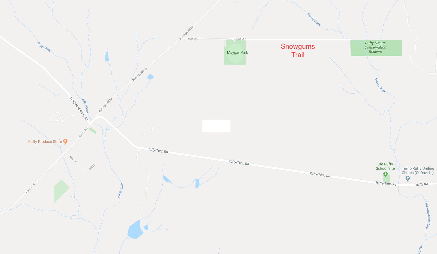
 Extends from Noyes Lane, Ruffy.
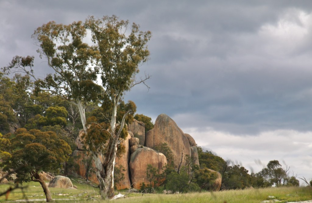
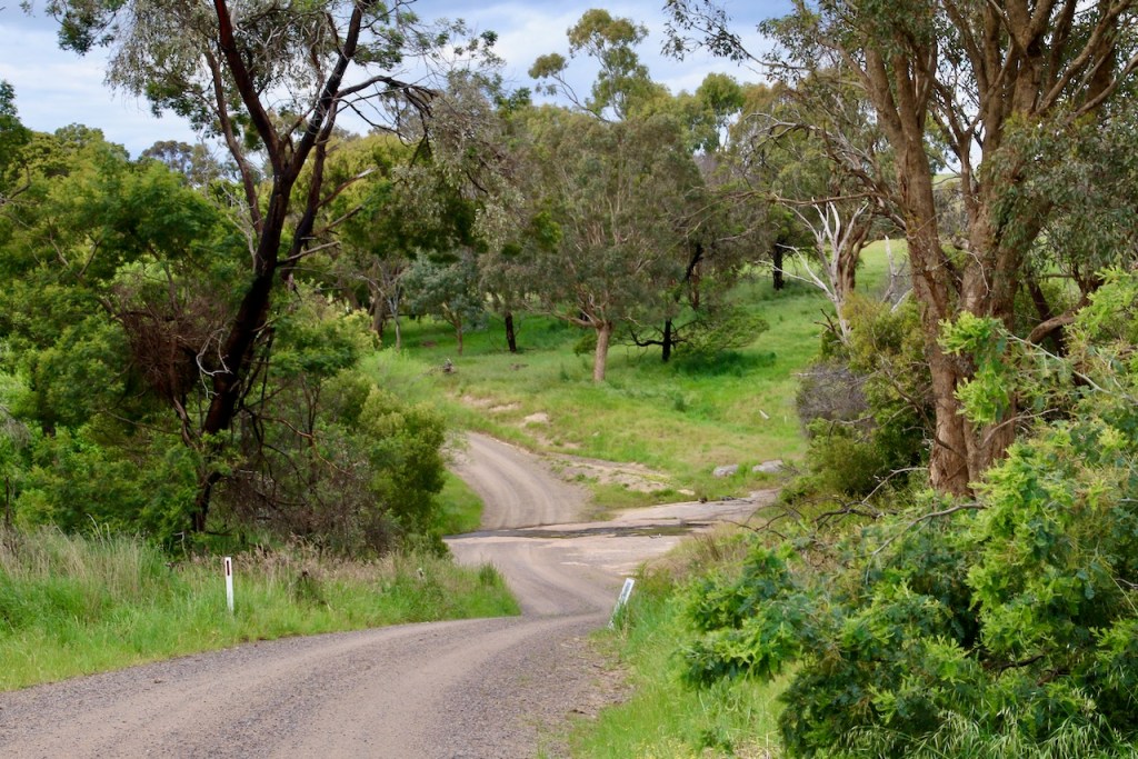
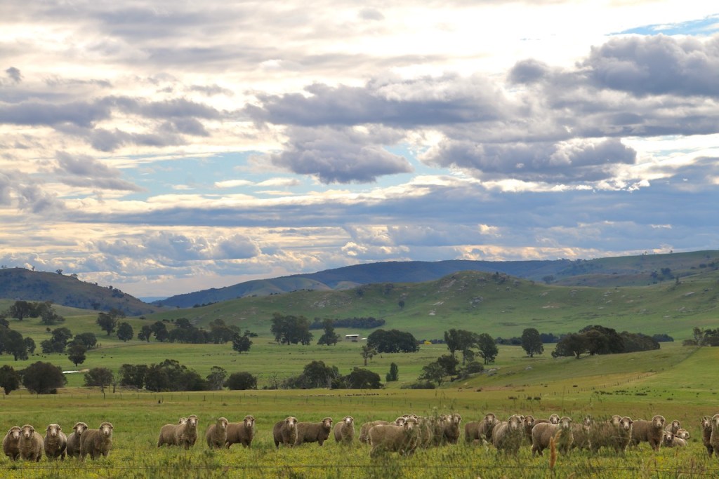
This track meanders down an unused road reserve through open Narrow-leaf Peppermint forest until it crosses a walking bridge and enters the Ruffy Flora Reserve. A circuit of this reserve takes you through swampy riparian woodlands dominated by ancient Mountain Swamp Gums. The path continues past a tiny population of Snow Gums, remnants of a colder climate, and skirts a chain of dark deep billabongs into bandicoot and koala territory.
Responsible Authority:
Road Reserve: Strathbogie Shire Council
Ruffy Nature Conservation Reserve: DELWP
Acceptable modes of transit:
Walk (mountain bike and horse with track improvement)
Distance & duration
3km return, 1.5hrs to the Reserve.
Additional loops could be added:
GPS coordinates & map
36°58′4″ S 145°30′56″ E
-36.967745, 145.514873
Grading (using the Parks Vic Track and Trail Grading Manual):
Grade 3. Flat, but with some uneven ground and open woodland debris underfoot. Could be rated easy with trail clearance.
Amenities:
The walk commences at the Ruffy Recreation Ground, Maygar Park.
Parking at the Ruffy Recreation Ground
Shelter and picnic facilities at the Recreation Ground
Toilets at the Ruffy Recreation Ground
Horse containment at the Recreation Ground
Hazards
Tree & branch falls, uneven surfaces, bogs, flowing water, snakes
Restrictions
Take your rubbish with you
No potable water
Trailhead sign & Informational Signs
No trailhead sign in situ (there is one in poor condition that has been removed).
Directional signs / bollards or trail markers
No directional signs on nearby roads
No trail markers along the trail, but some exist within the Reserve
Brochure
Available
Conclusion
This trail has the potential to be a key feature for visitors to Ruffy. With some basic work, it could be improved considerably. This trail is currently accessible to walkers and is in occasional use. However, until the trail has been cleared for snake sighting, recommended use is probably best confined to the cooler months. With improvement, it would be a viable all year walking, mountain bike and horse trail.
