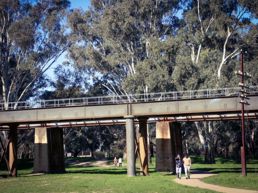
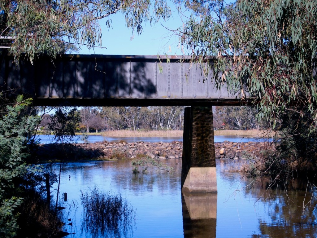
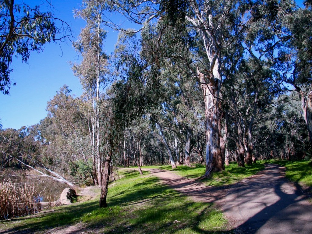
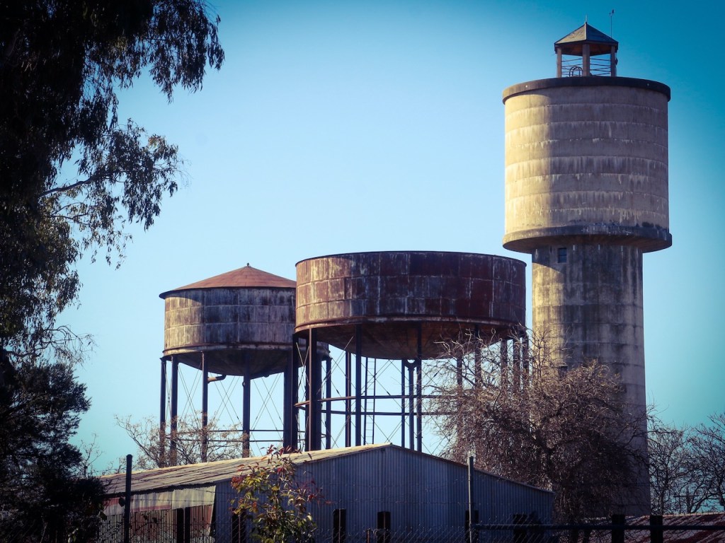
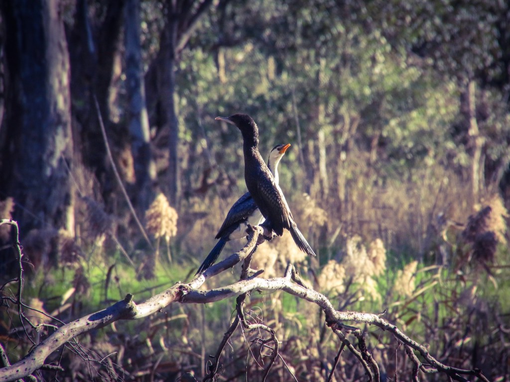
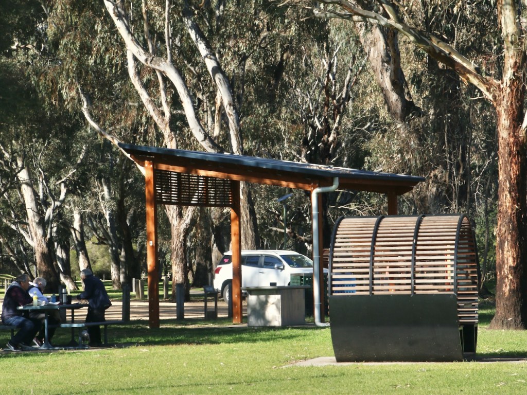
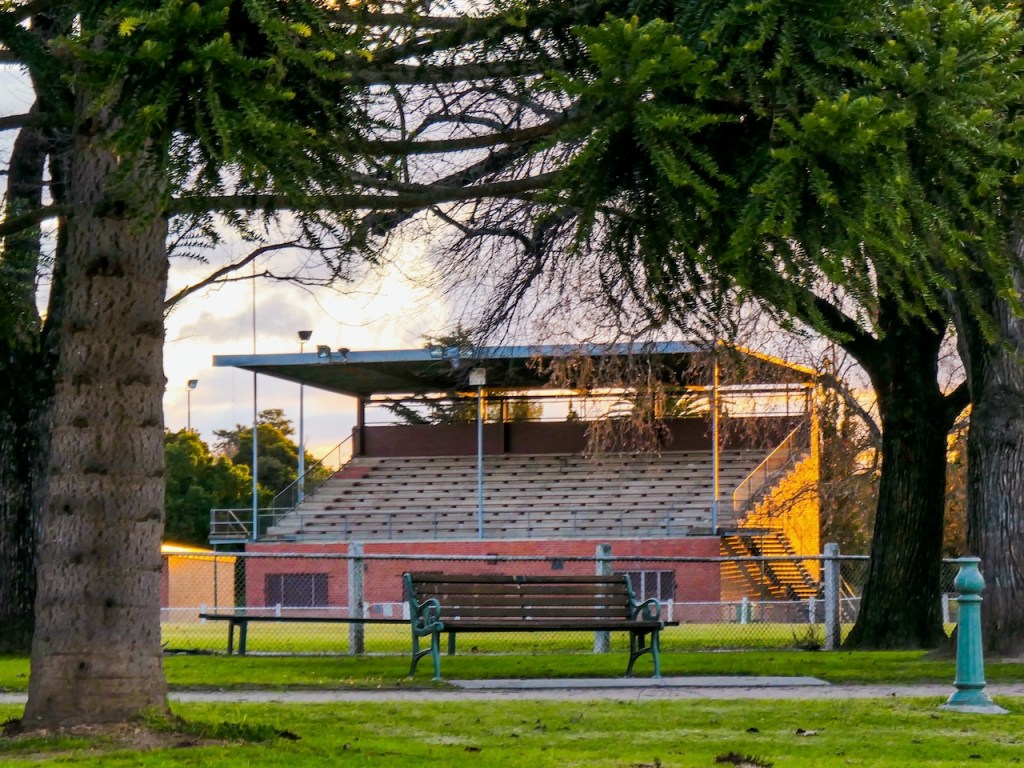
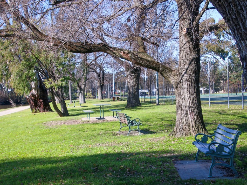
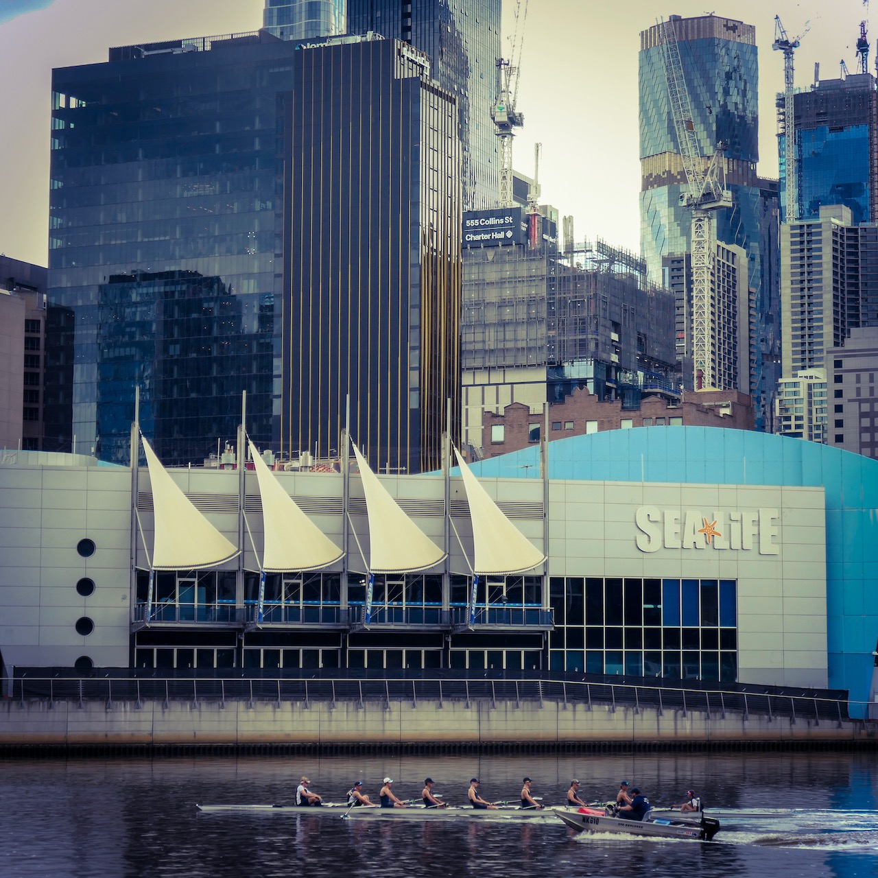
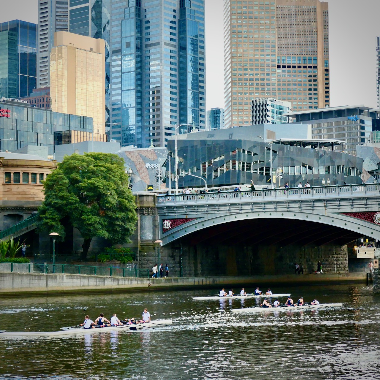
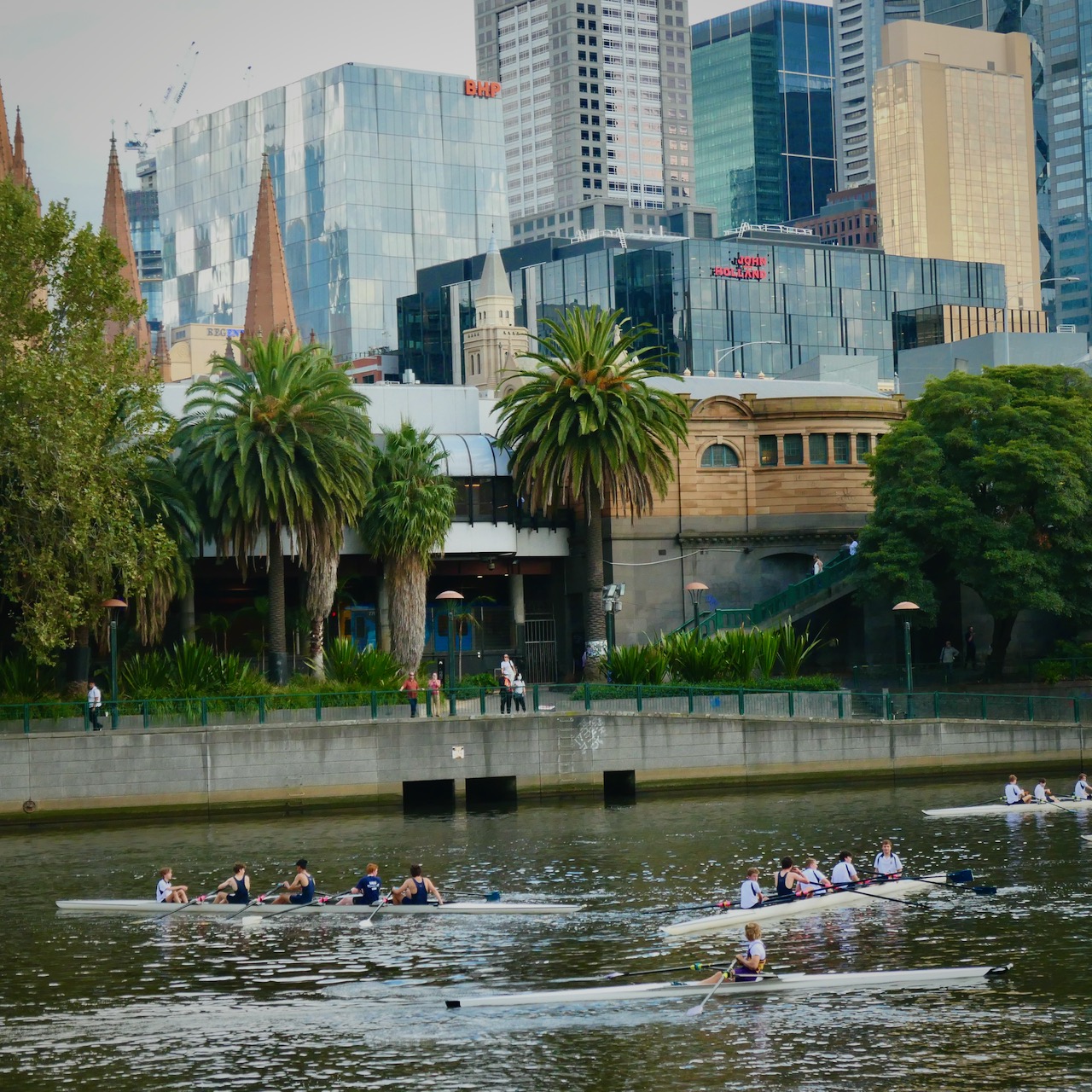
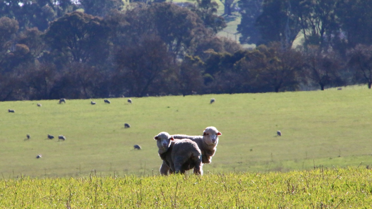
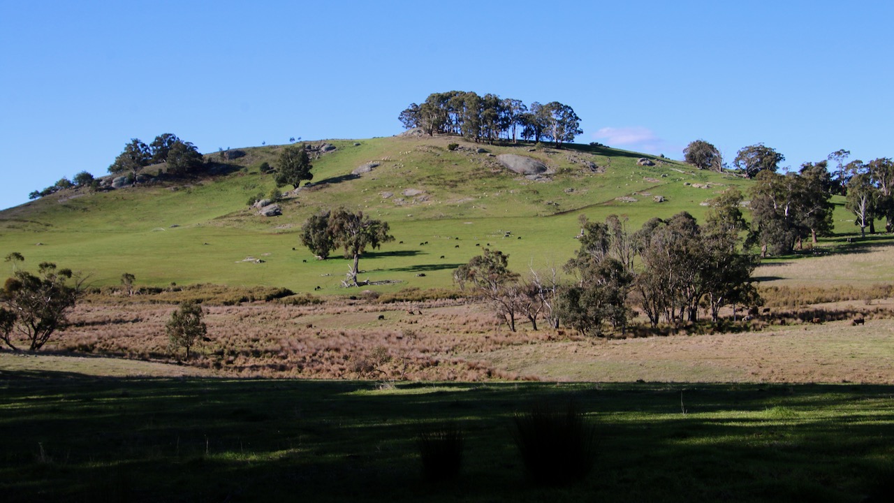
Another recent publication on walkingmaps is Lake Benalla walk. I have walked this 5k circuit several times and always find it pleasing and interesting. The diversity of experiences and observations is very impressive. You will find the link to the map of the walk and descriptions after the gallery.
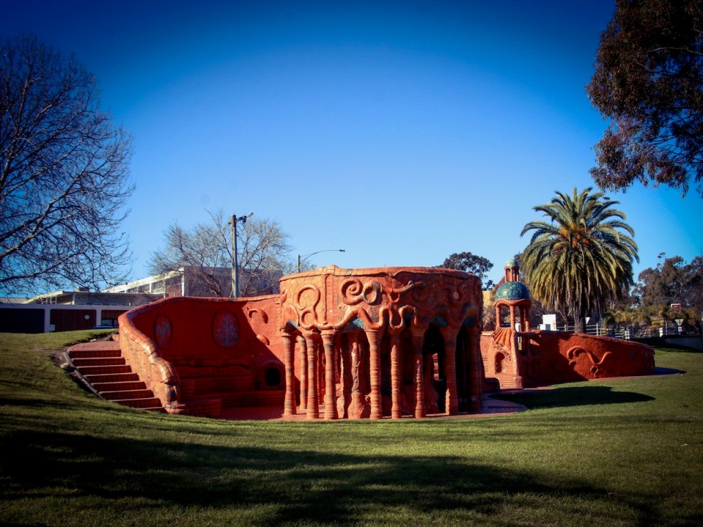
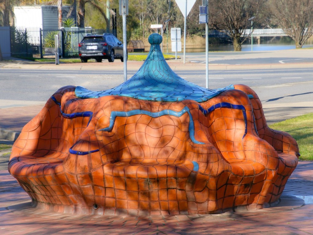
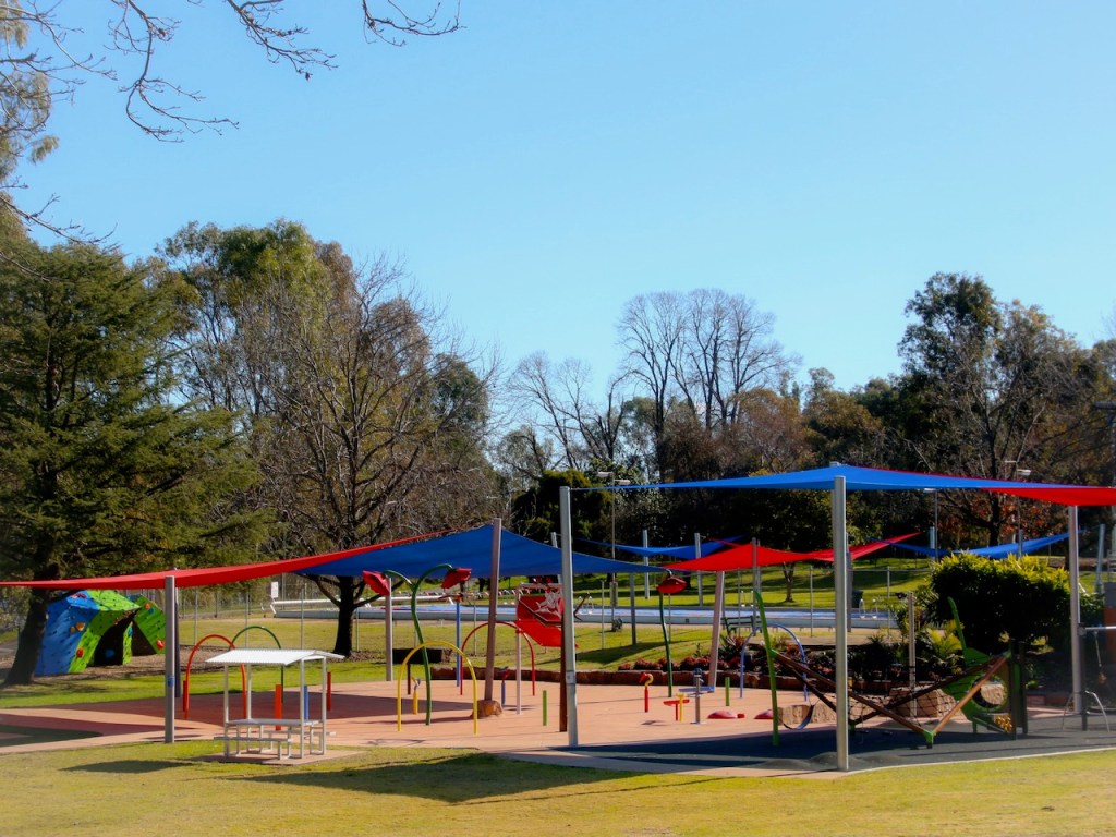
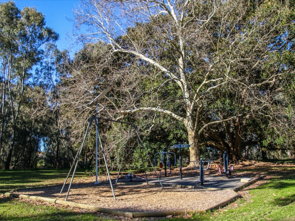
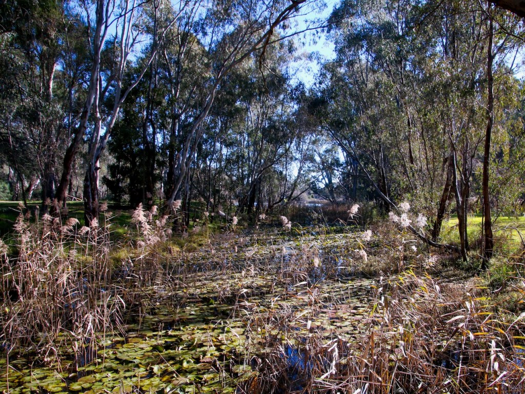
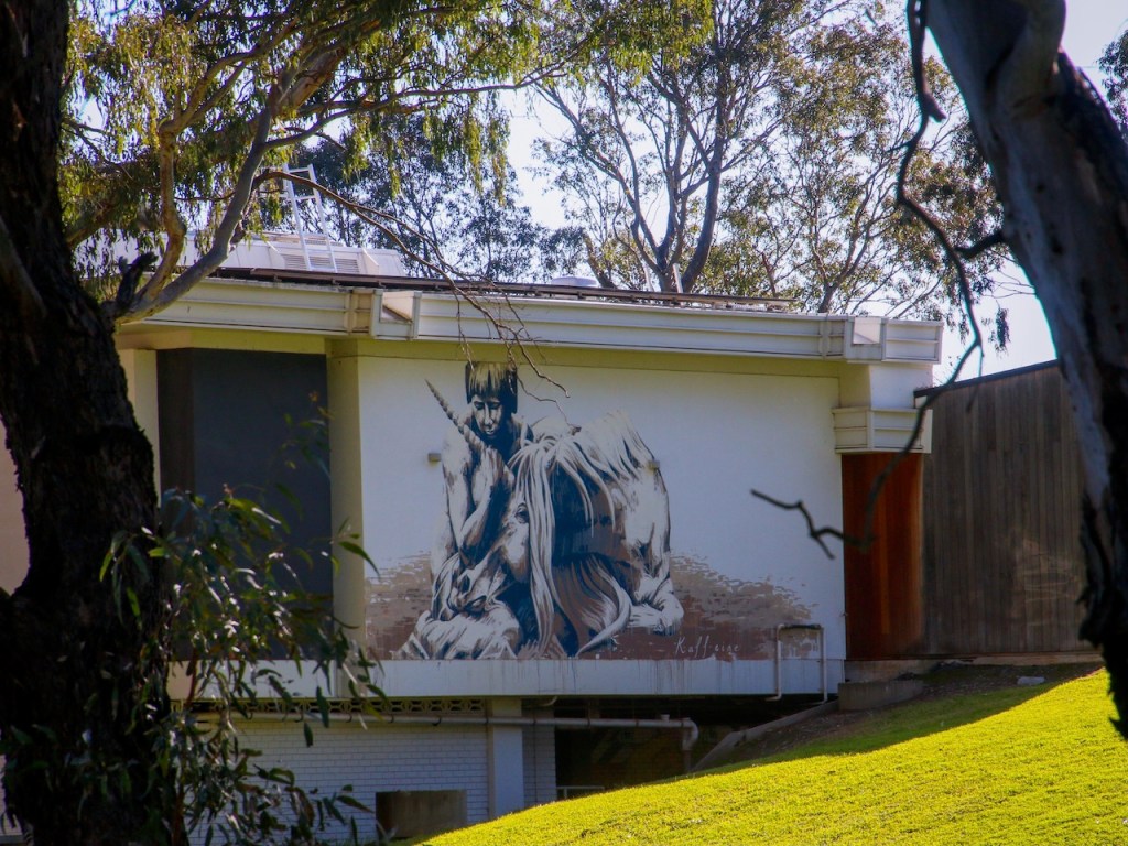
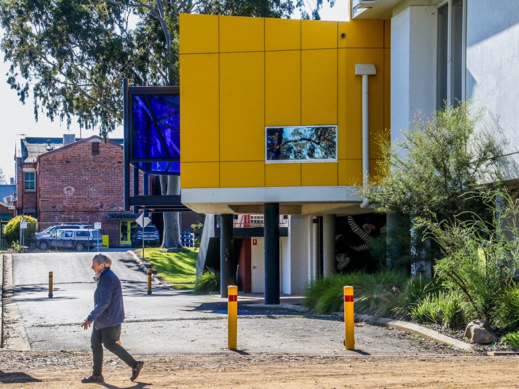
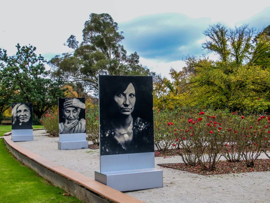
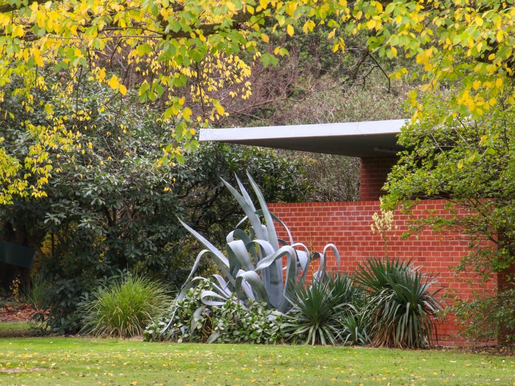
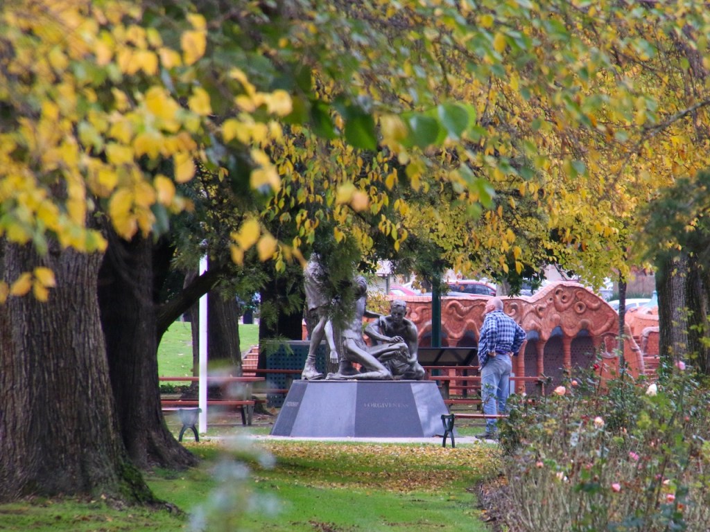
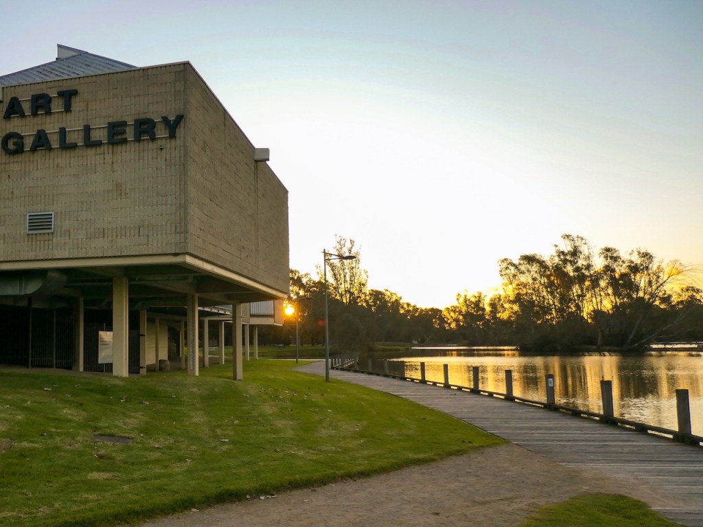
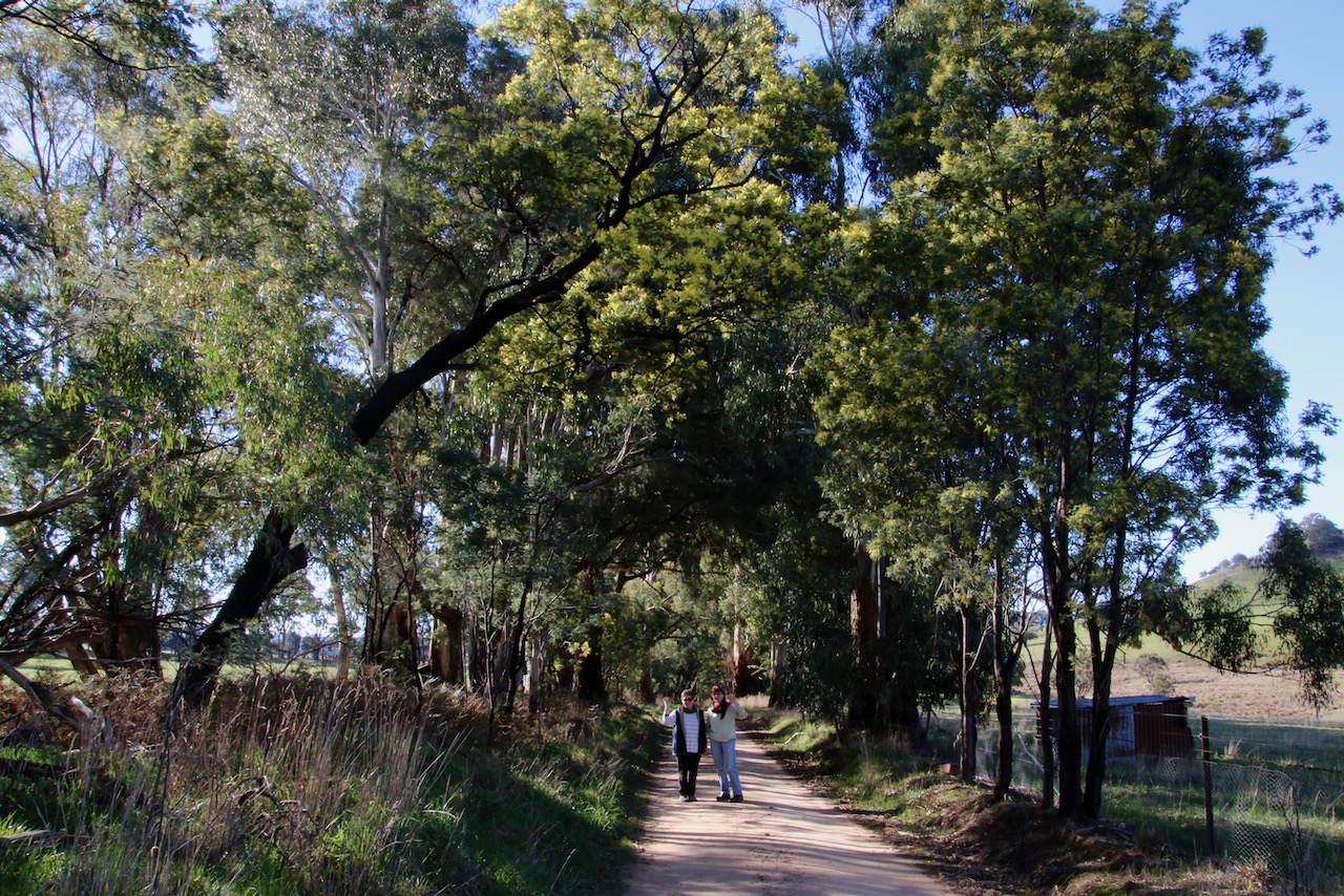
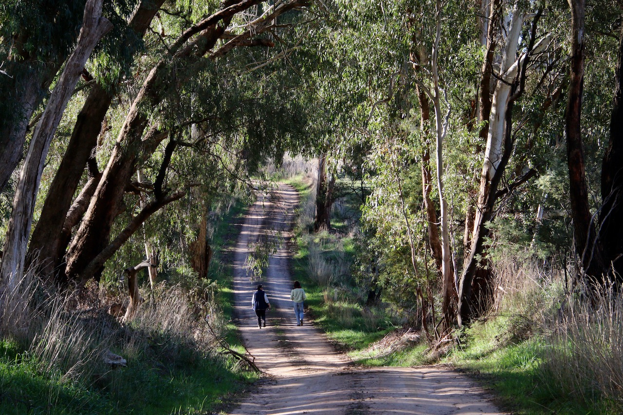
My new walkingmaps project is Benalla Rural City and surrounds. Benalla Botanical Gardens walk has something for everyone. I often stop by the Art Gallery to enjoy some of the wonderful exhibitions. The playground is great fun for kids. The gardens are a pleasure to stroll. I took the photographs in autumn and winter.
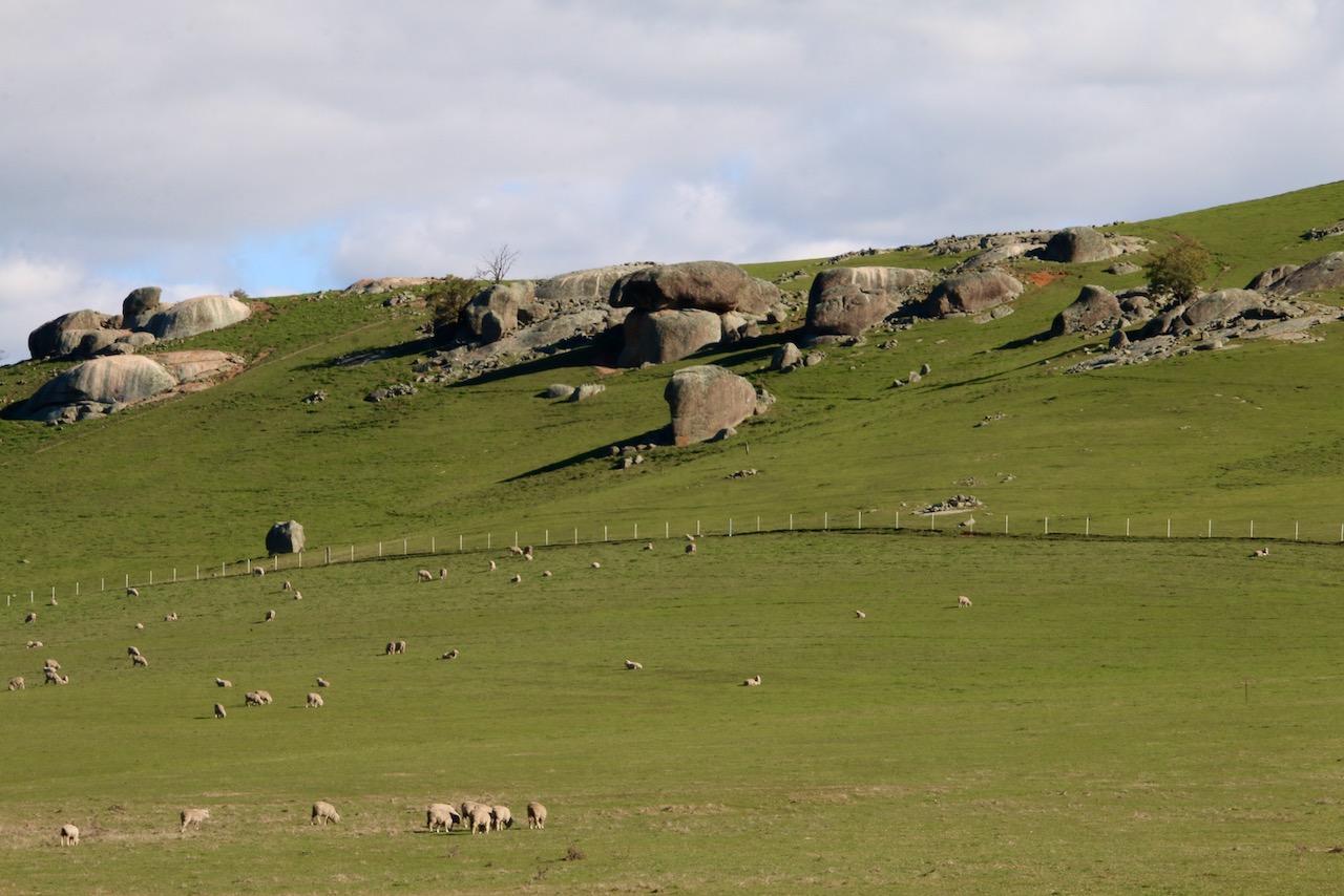
From now, I will start by including a gallery of my favourite images taken on each walk, followed by a link to the published map and details.
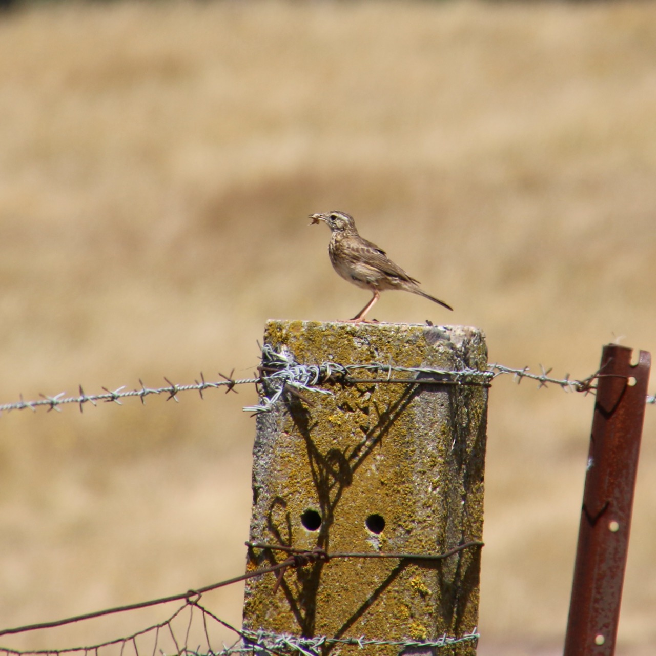
A common Australian terrestrial bird that spends most of its time on the ground for foraging and breeding. Prefers semi to open habitats. I often see them on rural tracks running the wheel ruts.
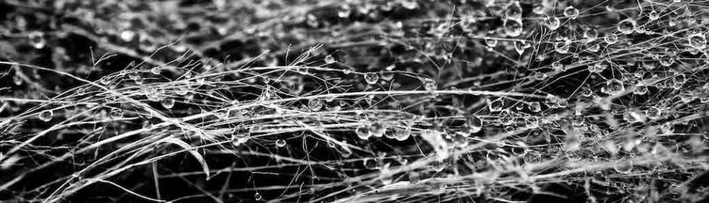
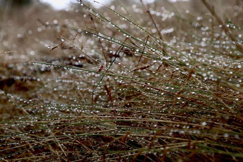
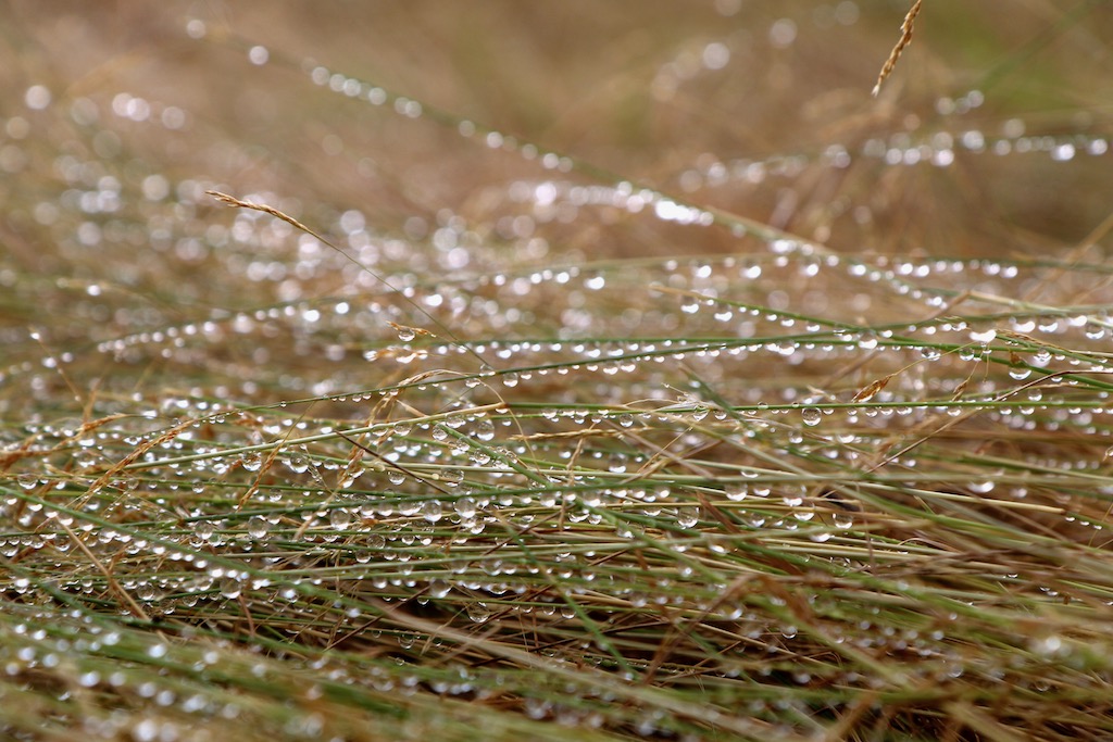
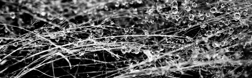
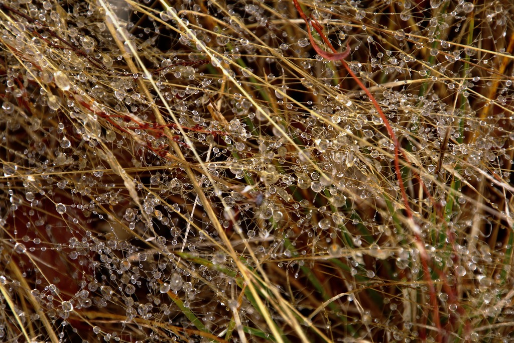
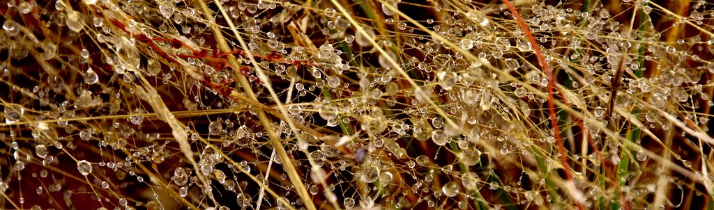
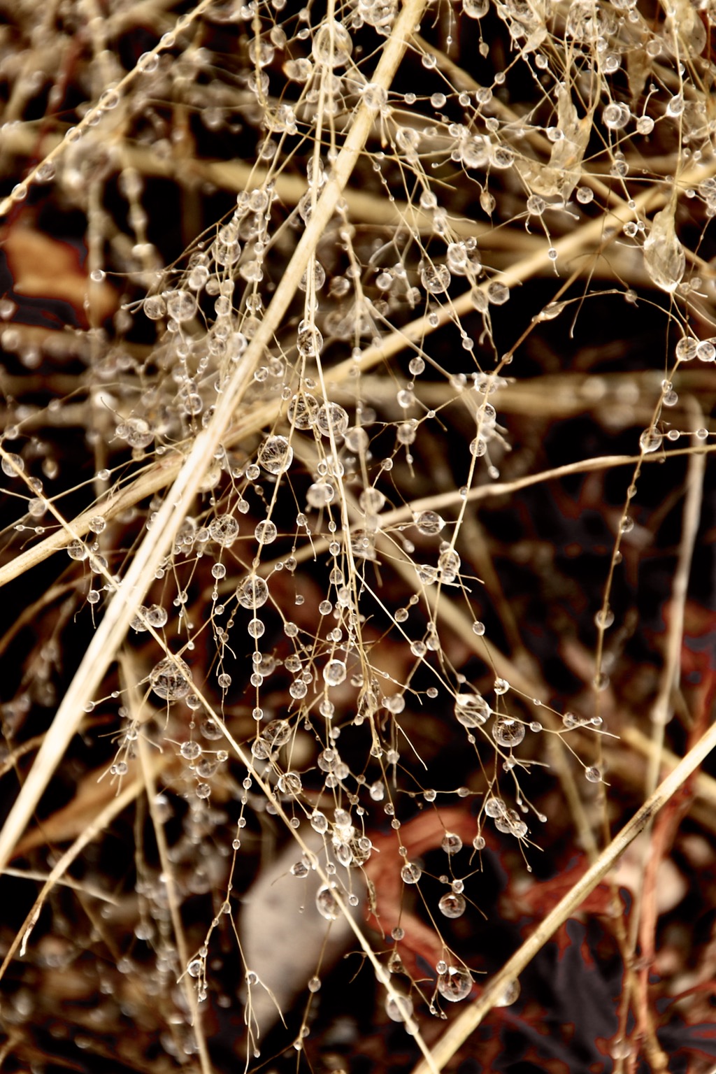
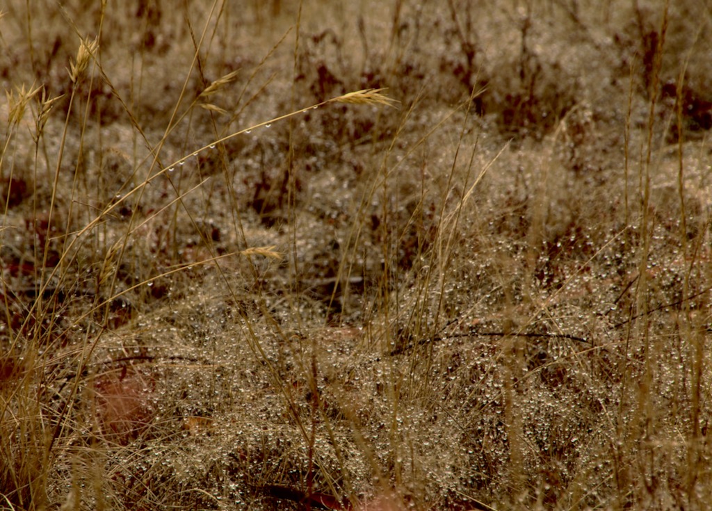
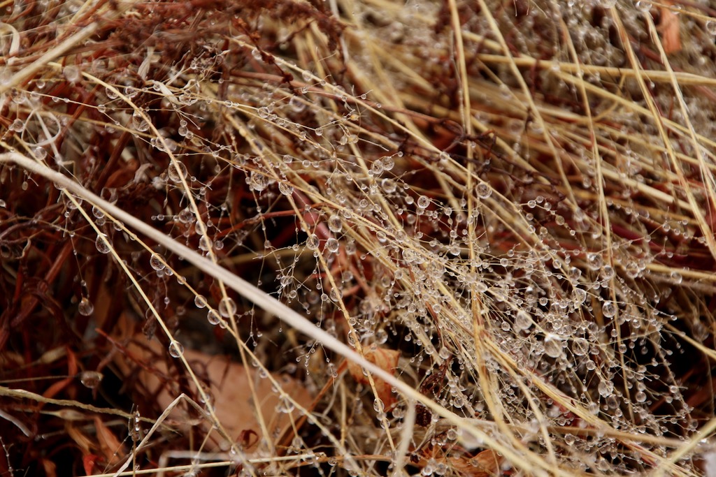
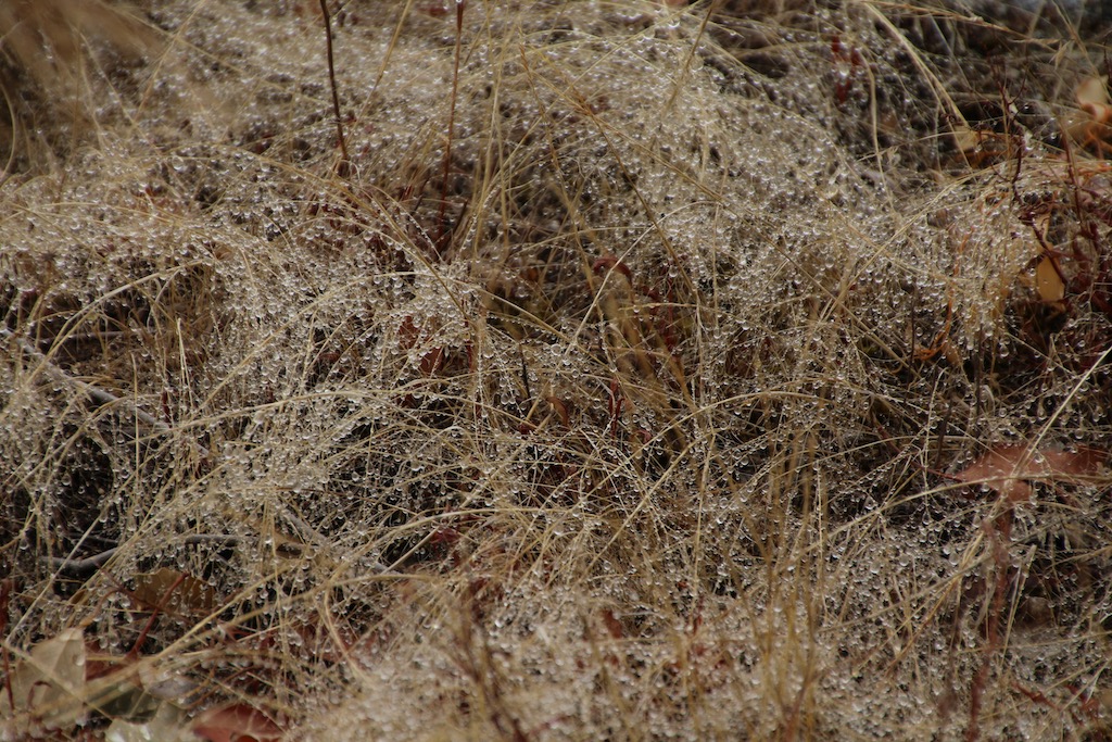
I was recently asked to deliver these photos of gorgeous droplets after a sustained misting rain – taken at our place a while back. I haven’t had much time for writing lately and thought these might be a good blog alternative to the written word until I get back to it. I hope you like them.
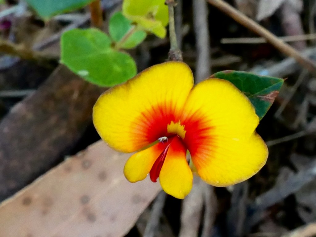
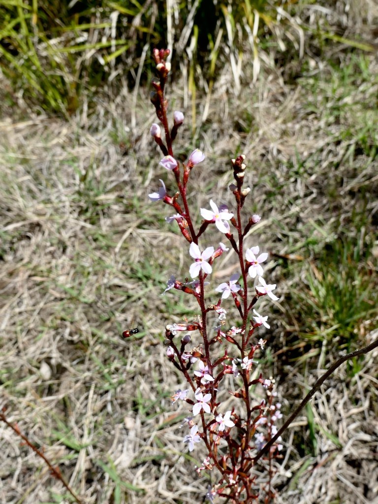
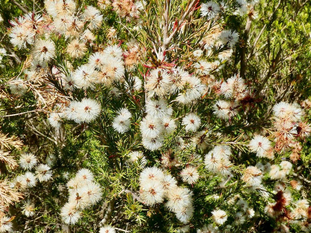
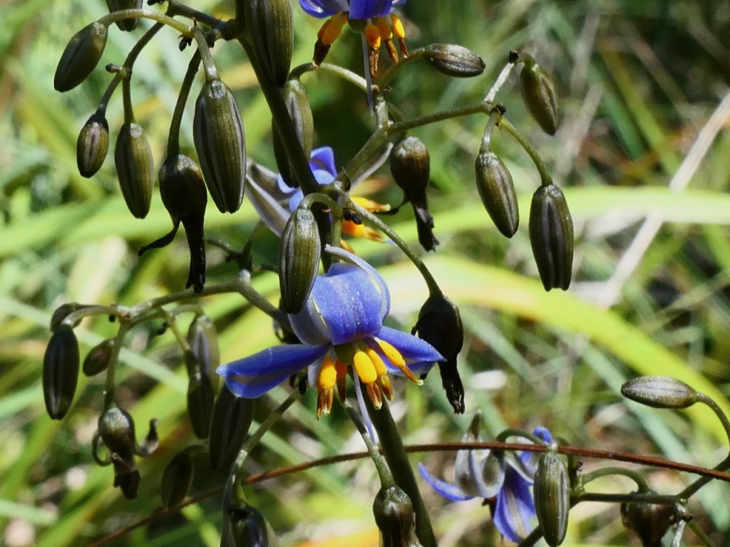
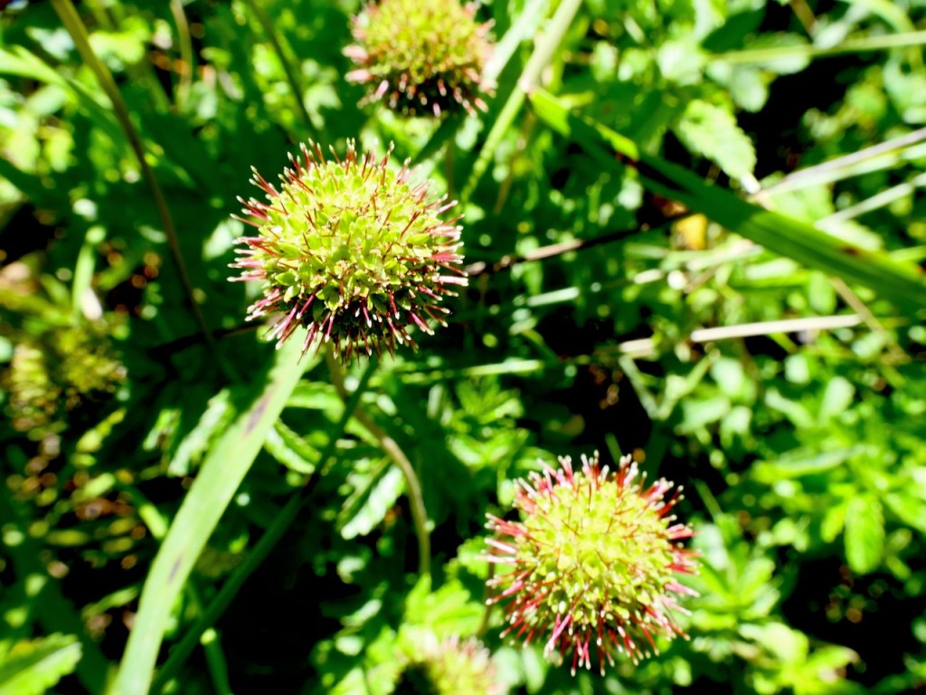
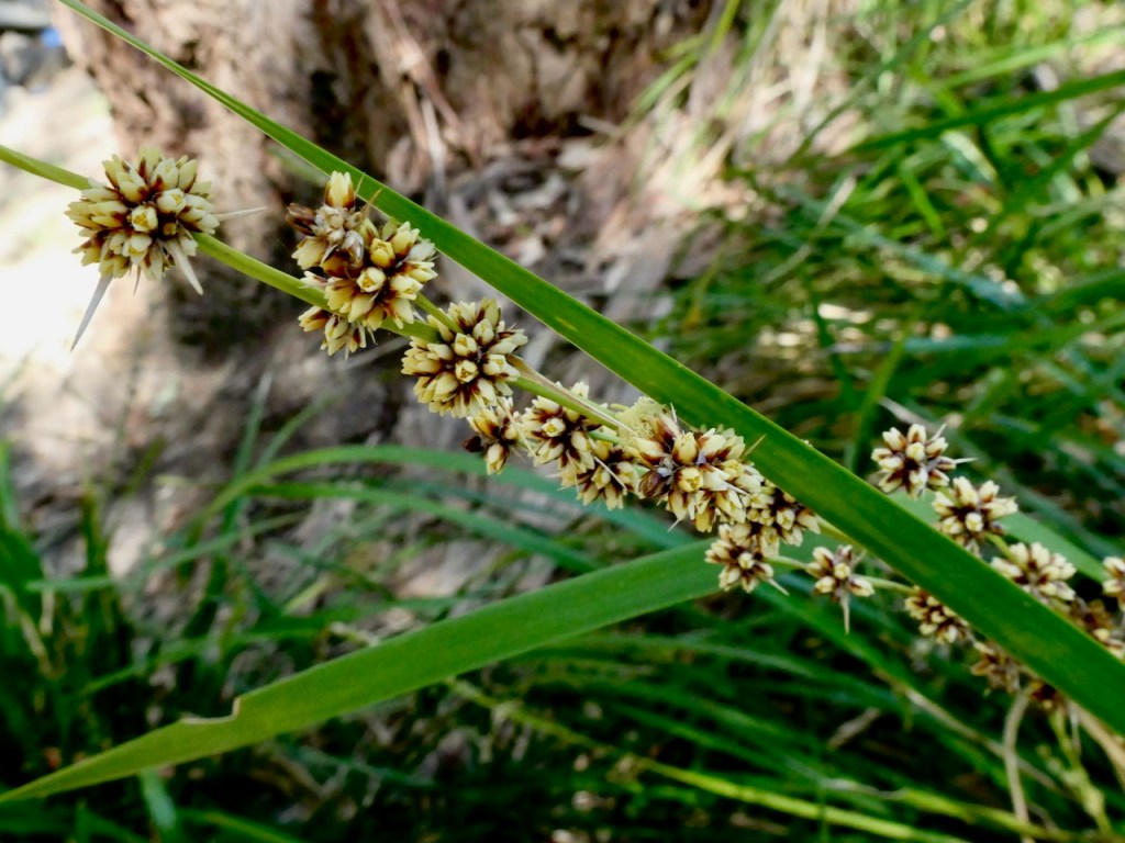
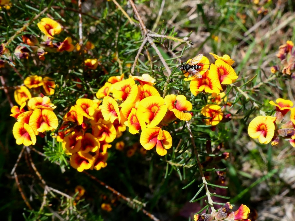
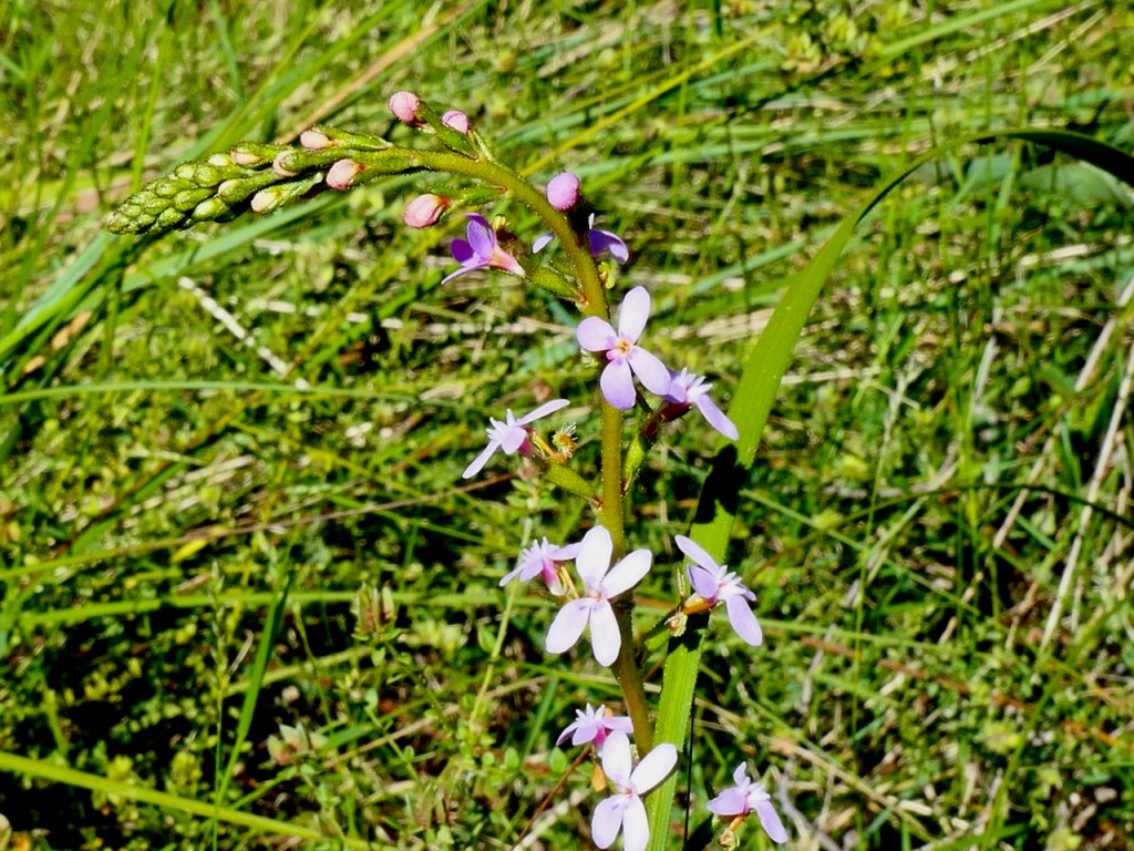
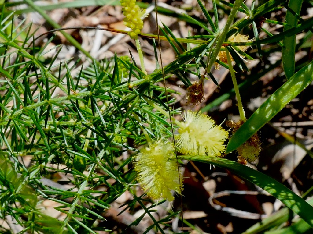
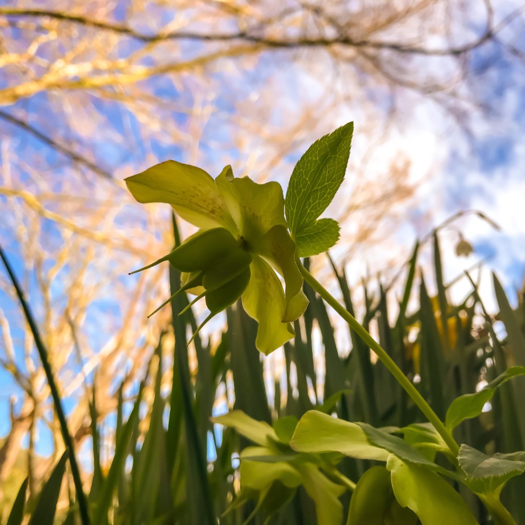
Wildflowers. Spring is a nice time of year for many reasons. A plain, field, forest or reserve full of Australian native species is hard to beat. Today I visited the smallish metro Bungalook Conservation Reserve looking for wildflowers. There was plenty happening. I will let the pictures speak for themselves. I hope you enjoy this natural world gallery of many good things only.
Peer Gynt Suite: Prelude to Act IV (Morning mood), Edvard Grieg (1843 -1907). This mesmerising classical music masterpiece captures the romantic aesthetic of a sunrise so completely it interrupts whatever I am doing when I hear it. Immediately the flute begins I experience the beginning of an aural dawning as if present. This calming, tranquil expression of the golden period in a new day is profound.
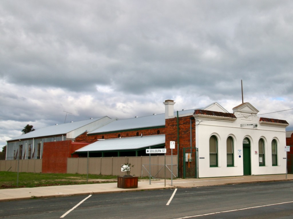
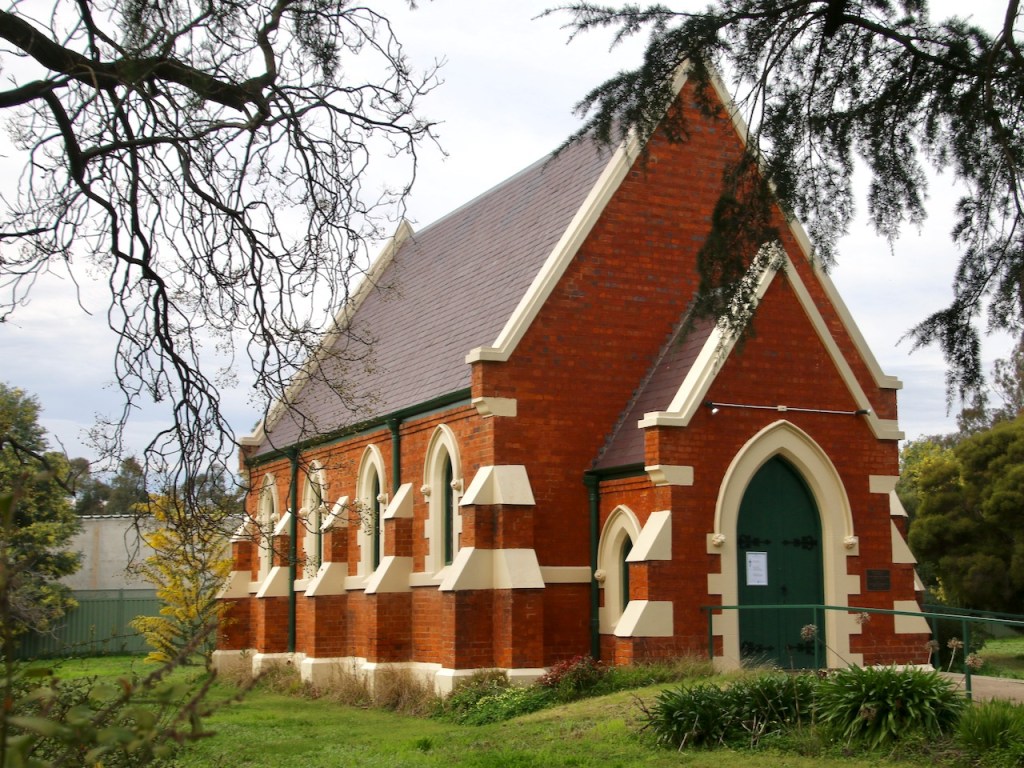
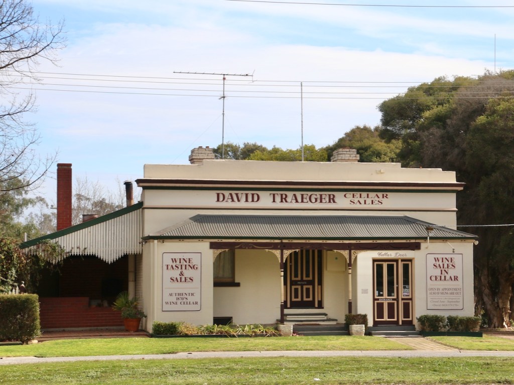
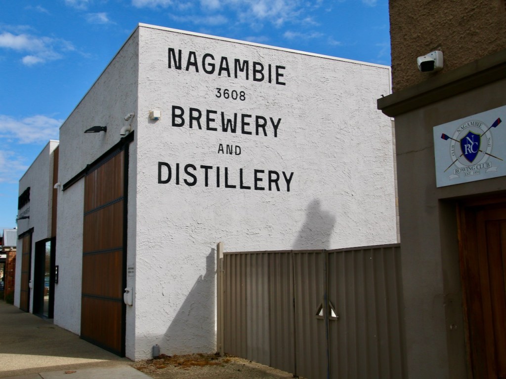
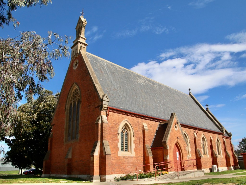
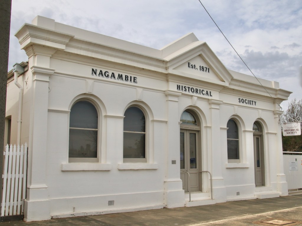
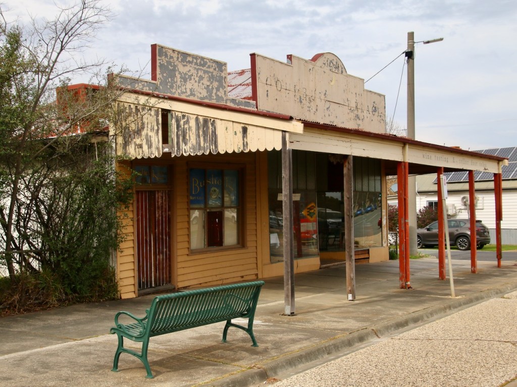
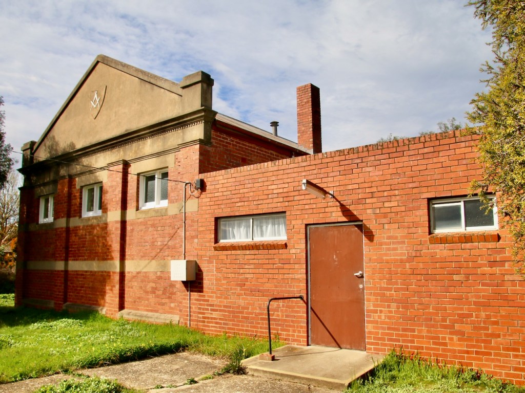
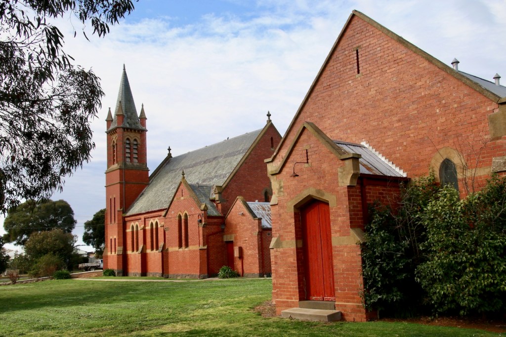
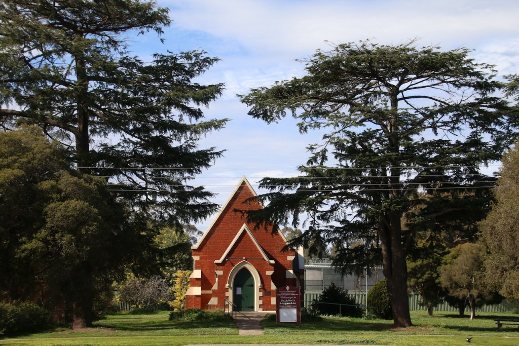
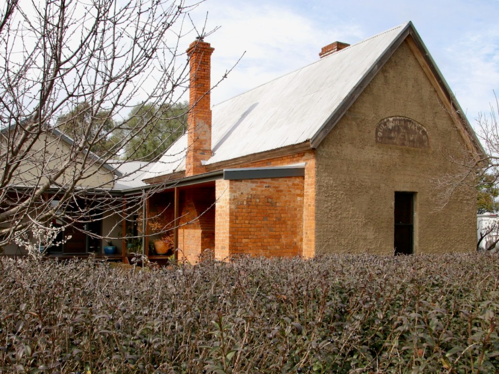
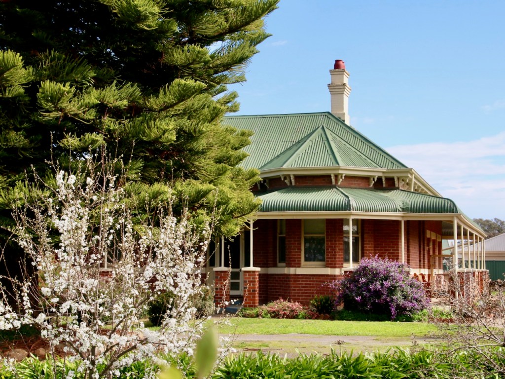
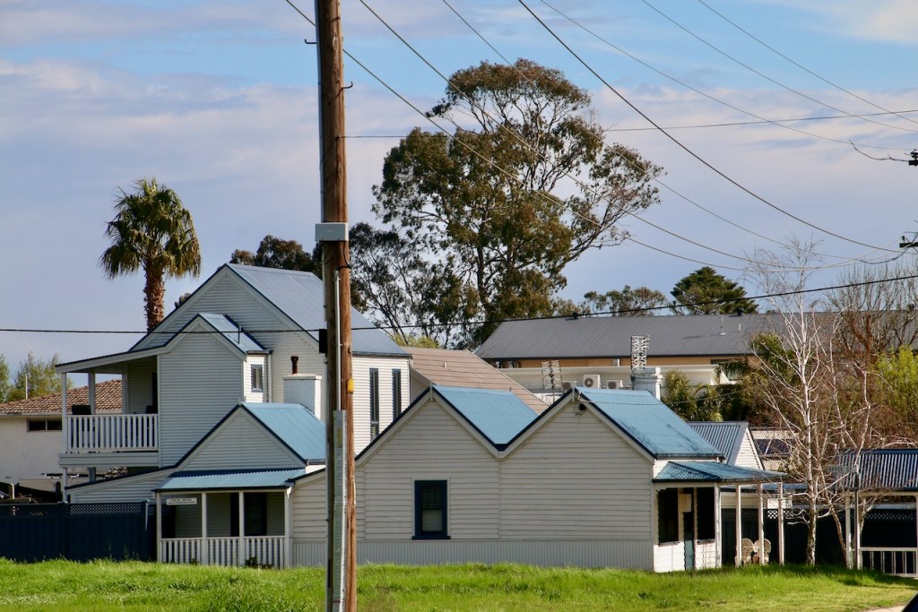
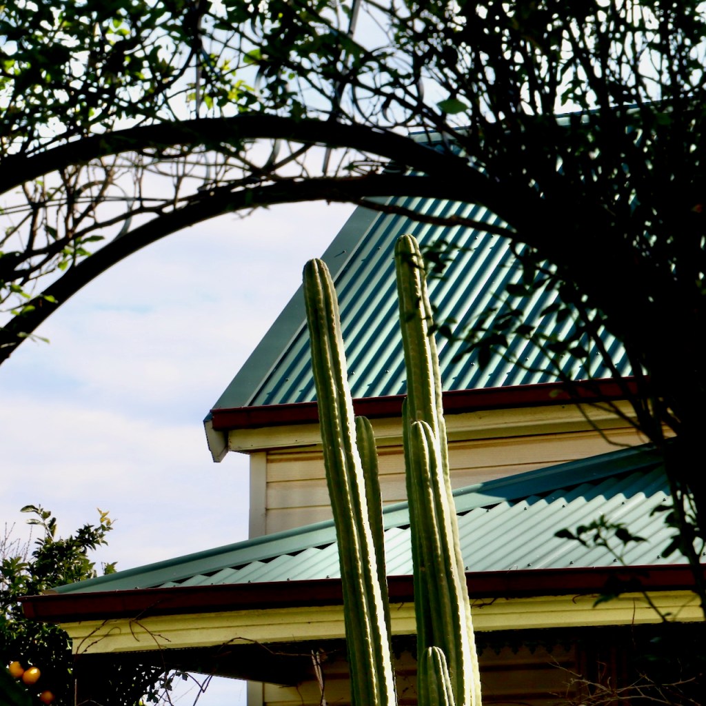
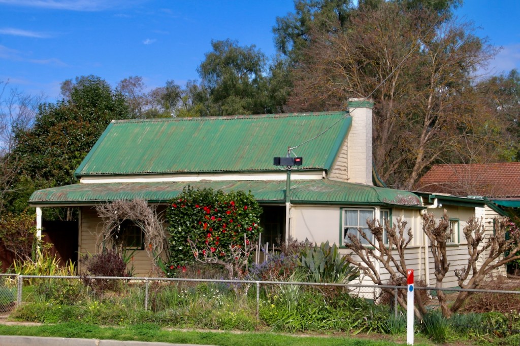
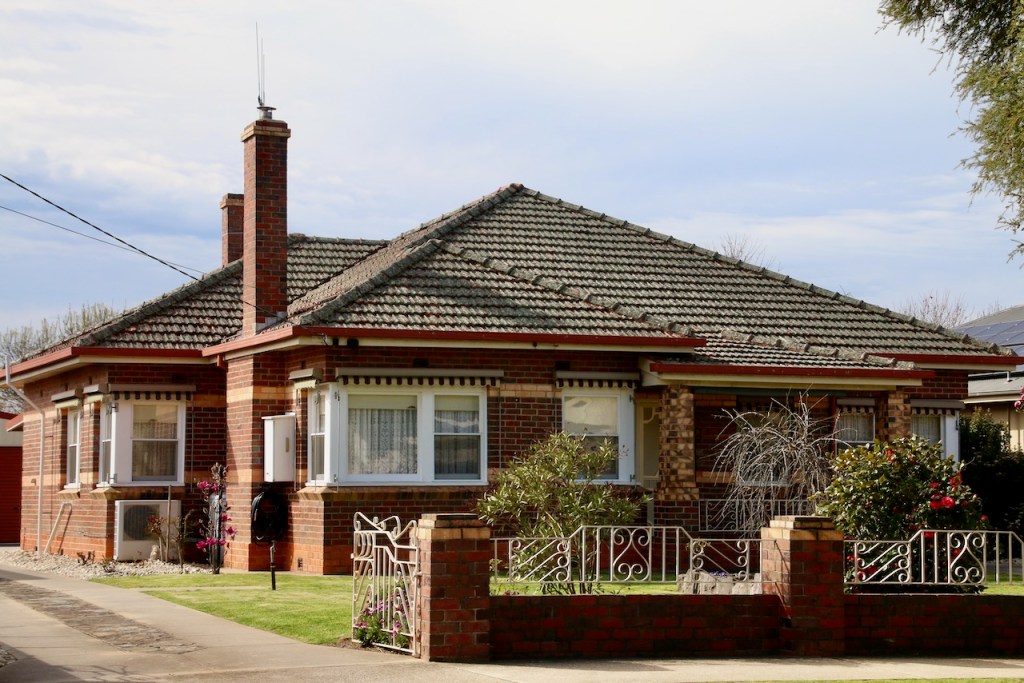
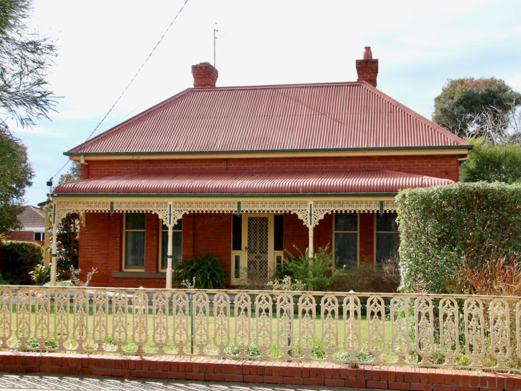
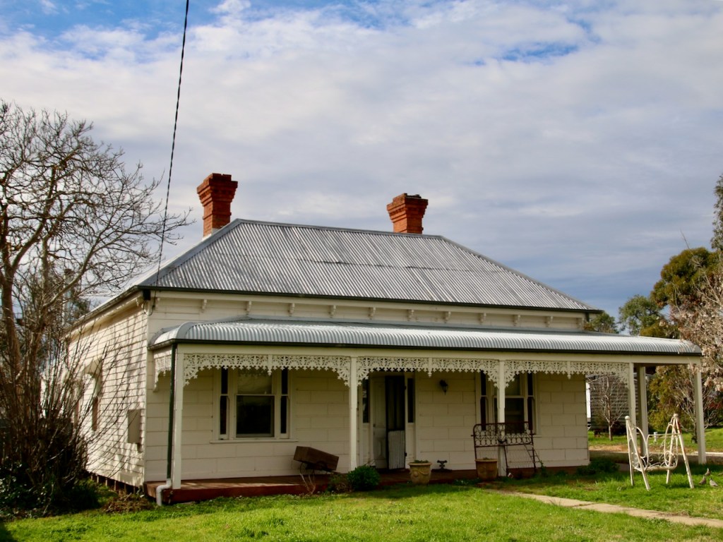
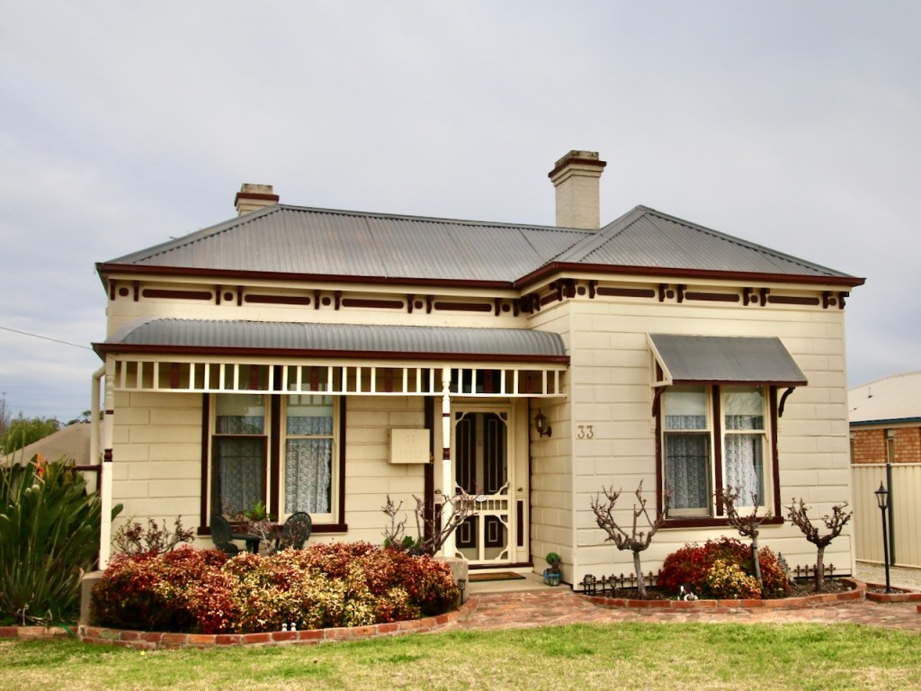
It appears an online Nagambie Heritage Trail is not going to be achievable at present. As an alternative I give you a Nagambie Heritage Photo Gallery. Viewed in conjunction with the previous gallery of period housing, I think it provides a good perspective on the streetscapes. If you are ever in town and want to engage with a Heritage Trail, I can recommend visiting the Nagambie Historical Society in High Street and obtaining a hard copy.
In between lockdowns I got to do a thorough tour of Nagambie township in north central Victoria. I was struck by the diverse examples of housing stock from across the past 150 years. I always find domestic dwellings and their gardens interesting, so I naturally found myself busy with the camera.
Hub & Spoke / Bump & Grind Cycling Route
Route Name
Euroa – Arboretum Loop
Mode:
Gravel Grinder, mountain bike, hybrid, eBike
Start / Finish locations:
Euroa Railway Station Railway St., Euroa 3666
• Straight off the train, start at the station
• Arriving by car, park in Railway St. to start
Map:
GPS -36.749156, 145.568173
Difficulty:
Easy – intermediate (not for road bikes)
Distance and time:
17km plus a couple extra if you include the Arboretum. 1 – 2hrs.
Elevation:
163 – 202m
Topography:
Flat with one small rise.
Surfaces:
• Good condition bitumen, with a nice wide shoulder on the Euroa – Main Rd return section
• Good condition gravel.
• Airstrip and Earnshaw Roads are two wheel dirt tracks which may be rutted. They have some dust drifts in summer, muddy in the wet.
Description and Features:
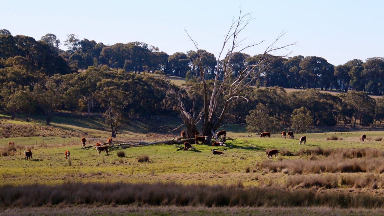
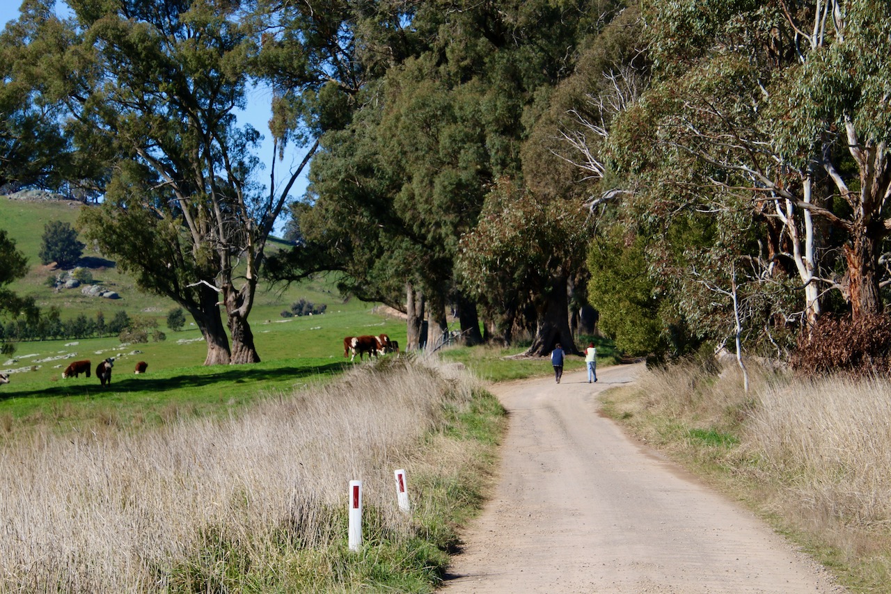
A ride from the sedate, urban areas of rural Euroa Township into the surrounding plains country. Flat expanses of cropping and grazing lands, with Strathbogie Tablelands as a backdrop. Wooded roadside vegetation. Many fine rural properties. A sad looking local airstrip. Large scale free range chicken farms.
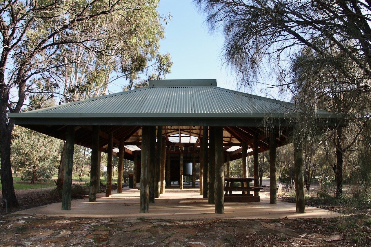
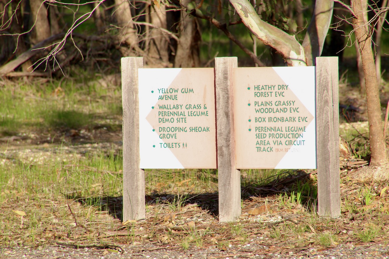
Take a break at the excellent locally indigenous Arboretum. There are a few Km extra of intertwining bushland tracks to enjoy. Other amenities include shelter, picnic facilities, public art, wetlands, a bird hide, a small lake and the site supplied nursery is well worth your perusal.
Riding conditions:
Minimal gradients. Very little traffic. Exposed to the elements.
Options:
It is about 3.5km (7km return) to the Euroa Arboretum via the Euroa – Main Rd.
Anti or clockwise
Anticlockwise Cues:
From the Euroa Railway Station
Right Scott St
Left Elliot St
Right De Boos St
Straight Branjee Rd
Right Cowells Lane
Left Wood Rd
Left Airstrip Rd
Straight Earnshaw Rd
Left Angle Rd
Opposite Euroa Arboretum entry
Straight Euroa – Main Rd
Left Birkett St
Right Handbury St
Right Elliot St
Right Scott St
Left Euroa Railway Station
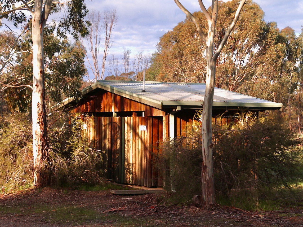
Amenities (across Euroa & Arboretum)
Car parking
BBQ
Fuel
Shops
Seating
Parkland
Playground
Picnic tables
Public toilets
Potable water
Accommodation
Historic features
Sports Reserves
Swimming Pool
Railway station
Road name signs
Alternative routes
Flora and fauna habitat
Cautions:
Soft shoulders
Limbs may fall
Embankments
Uneven ground
No potable water outside town
Slippery surfaces
Subject to flooding
Road surfaces vary
Snakes may be active
Beware of vehicle traffic
Mobile reception may be unreliable
Carry food, water, First Aid, be SunSmart
Be equipped for self-reliant riding
Restrictions:
Take rubbish with you
Historic relics are protected
Native flora and fauna are protected
No fires in the open
Use formed roads only
Strathbogie cycling #strathbogiecycling