


An excellent walk in the towering Woollybutt Alpine Ash forest of Mt Stirling. Find my map and description here https://walkingmaps.com.au/walk/5836
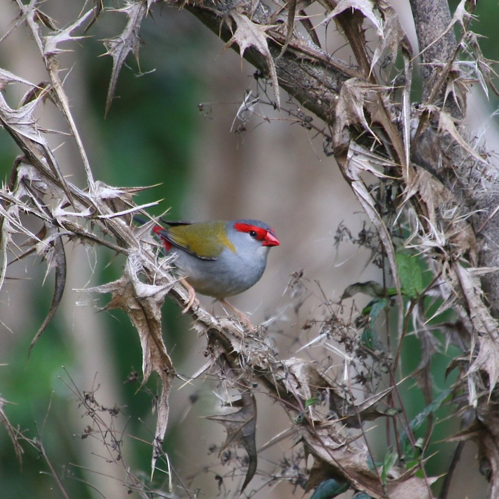
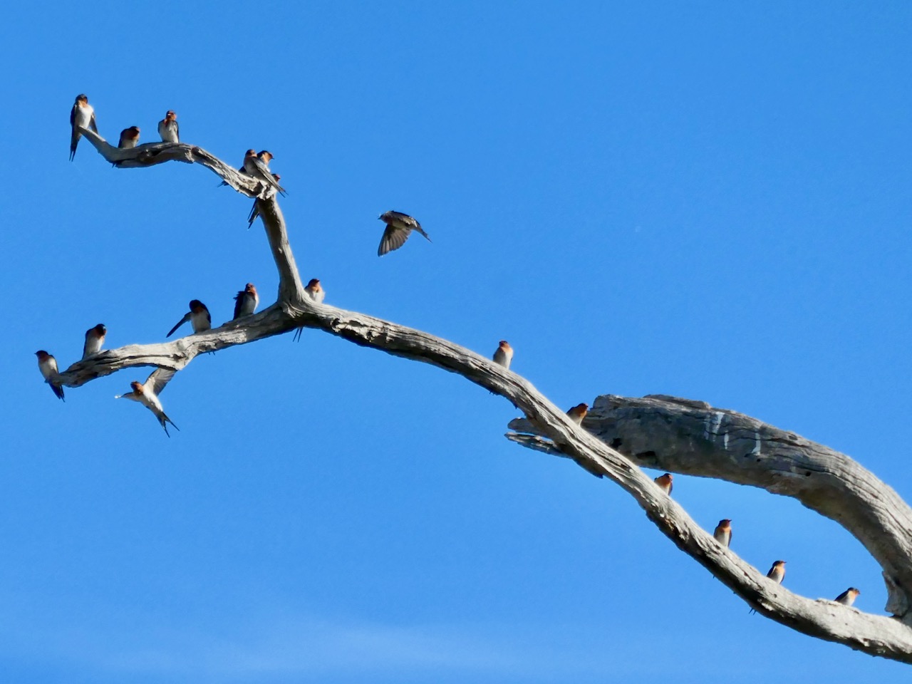
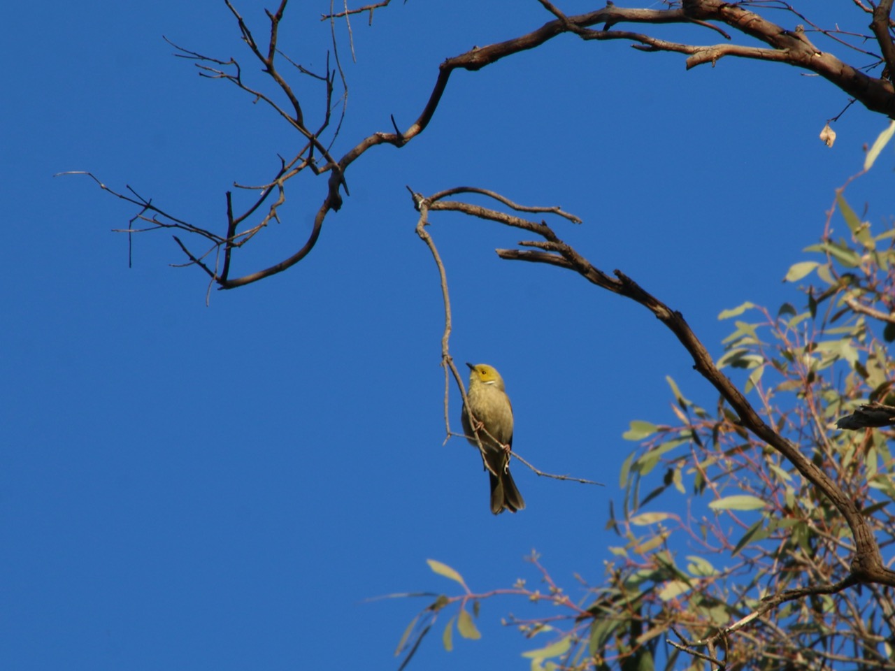
The Finch
with red brow and olive wings
presents a pretty picture

Upon its chosen perch
it even makes the invasive thistle look good

With pleasure I spy
scenery I would rather deny

This large suburban park is full of nice surprises. There is an interesting local history trail, there are pleasant walking paths and the playground and other amenities provide for all the family.
Find the map here on http://www.walkingmaps.com.au with a full description using this link Ruffey Creek walk
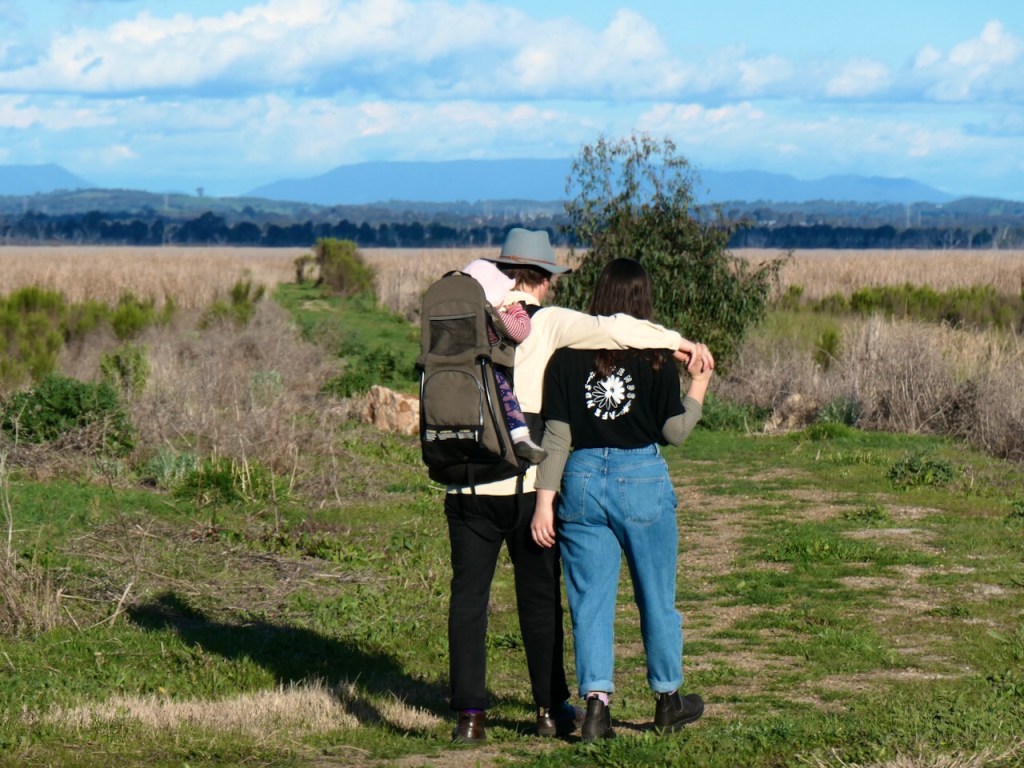
 For a long time now
 My love and I go walking
 As we walk
 We find the time for talking

 For a long time now
 My love and I sit silently
 As we sit
 Our love strengthens quietly

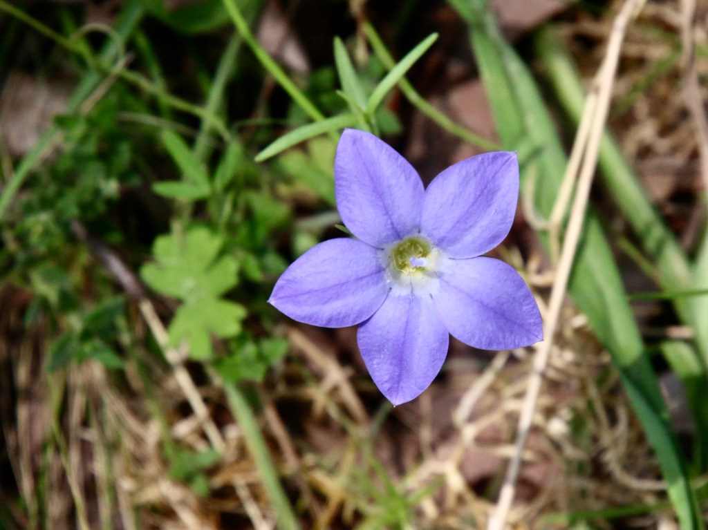
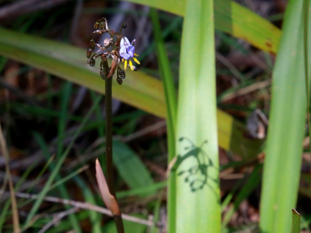
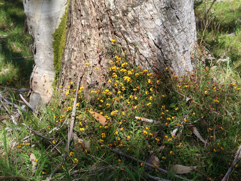
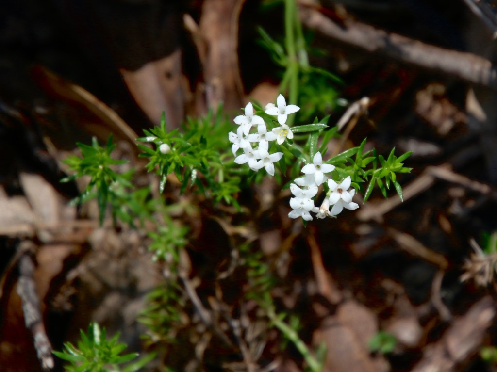
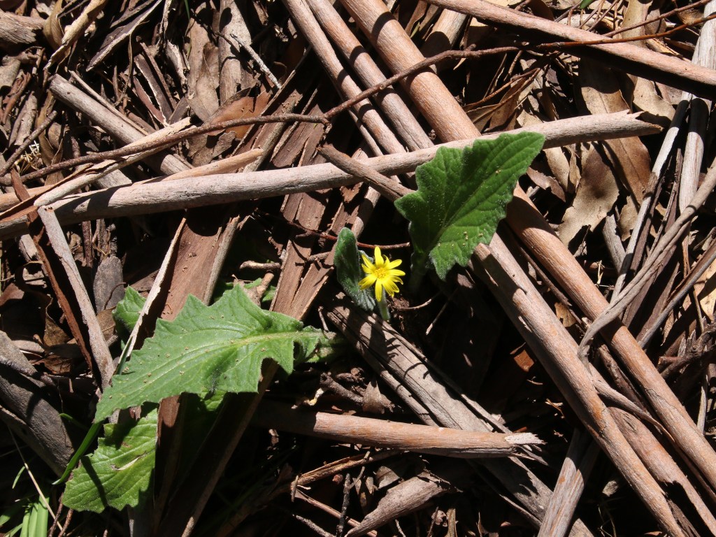
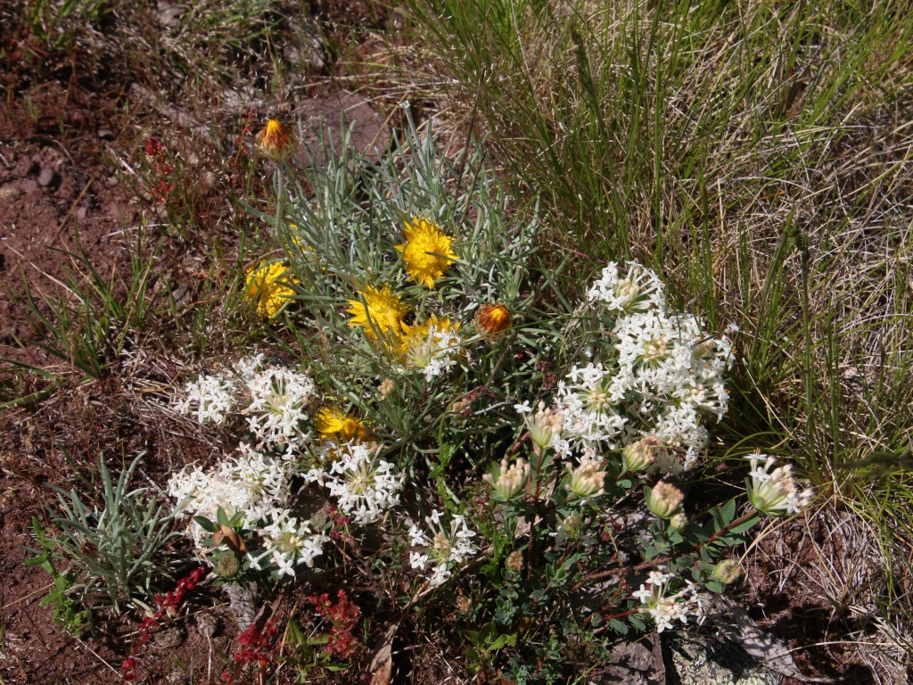
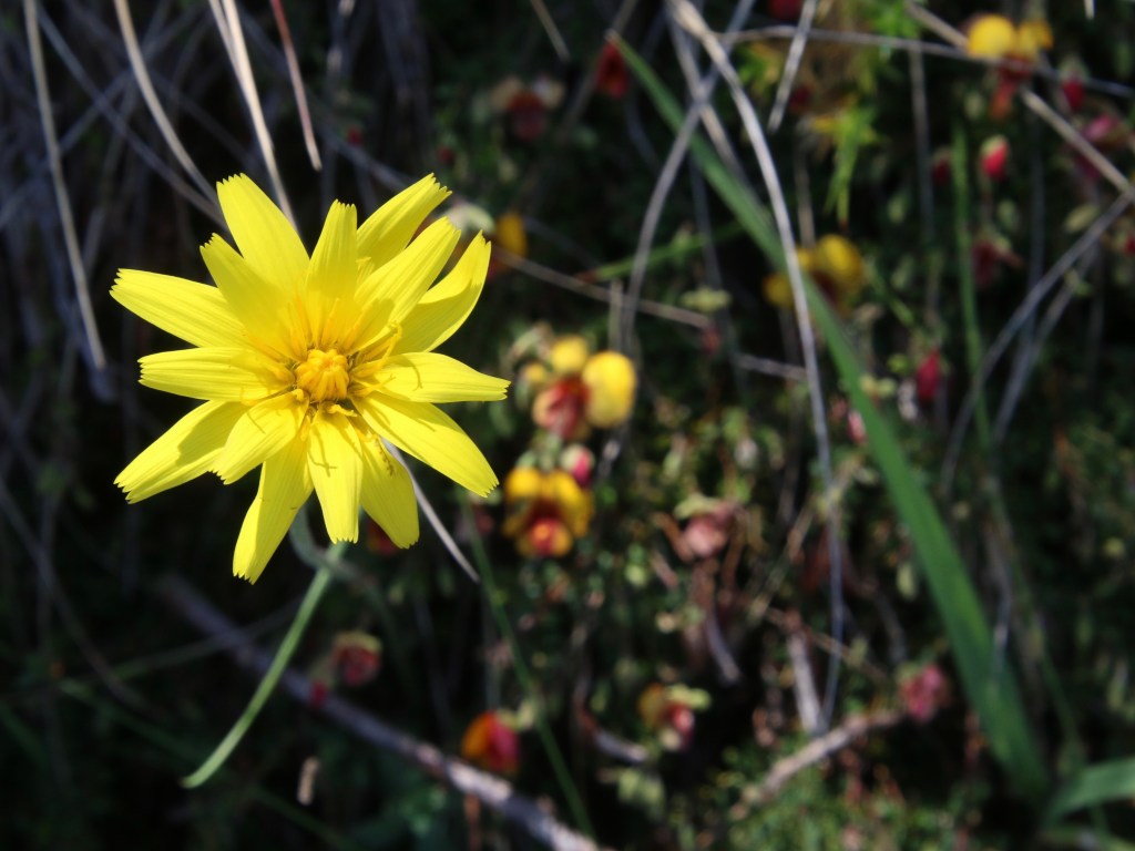
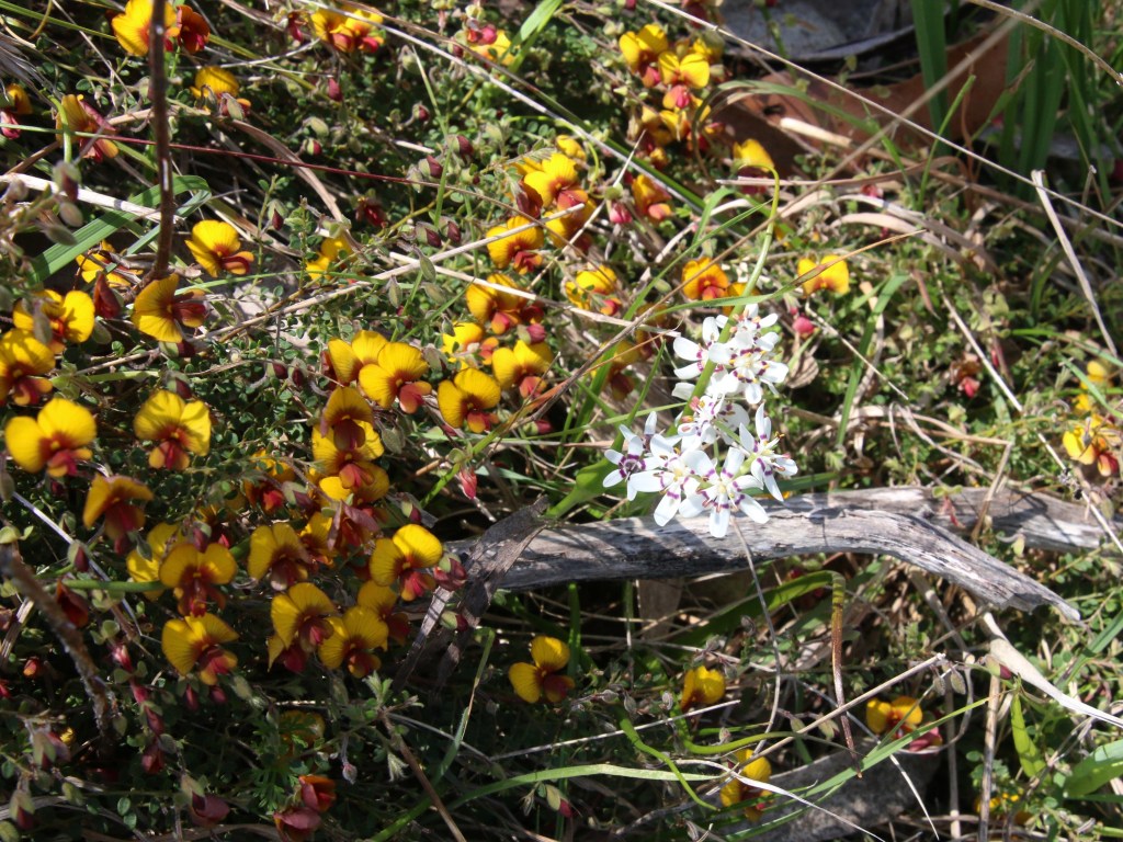
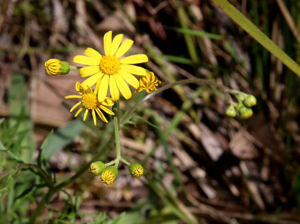
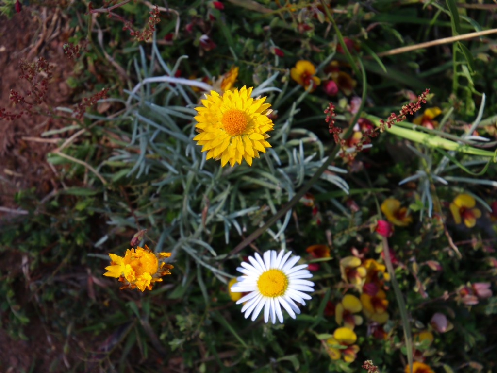
Koetong Creek in Mt Lawson State Park runs through open woodland of Narrow and Broad-leaf Peppermint, Candlebark, Manna, Blue and Brittle Gum, Red Stringybark, Long-leaf and Red Box. You will also find Black Cyrpess-pine and Kurrajong. The combination of diverse forest layers, a cascading waterway (Spa) and beautiful wildflowers give this walk a real buzz. Take a hike.
You will find the walking map and details I have published on http://www.walkingmaps.com.au here Koetong “Spa” and Wildflower walk


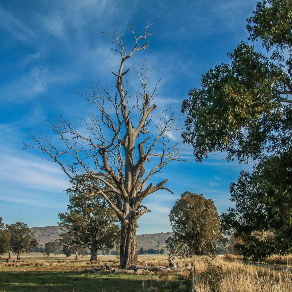
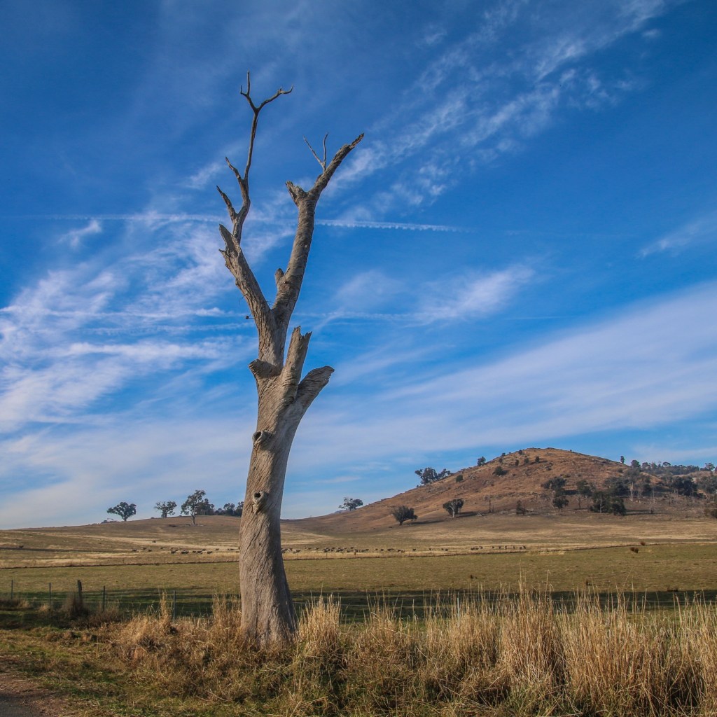
Watkins walk is a Strathbogie Tableland roadside walk through grazing farmland and native forest. One of its other attractive features is the high conservation value roadside vegetation including various towering species of eucalypt.
Such roadsides are critical local biolinks for flora and fauna. There is plenty to see and wildlife sightings are common.
This is a little trafficked smooth gravel road and Strathbogie Tableland is quiet. You can hear cars approaching from some way off. It is pretty safe walking. However, it still makes sense to stick to the right of the road so you are facing any oncoming vehicles that do appear.
Click this link Watkins walk to the map I have created on http://www.walkingmaps.com.au
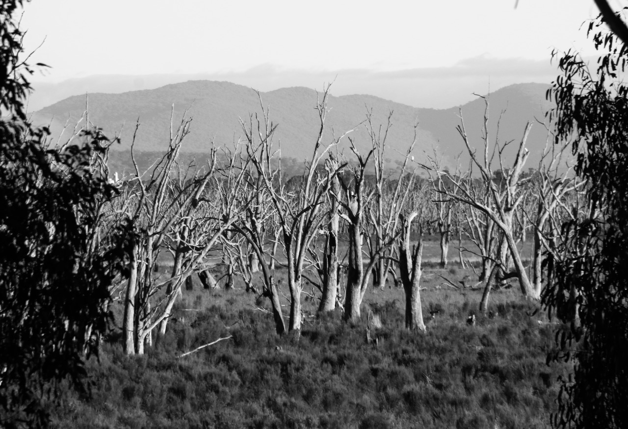
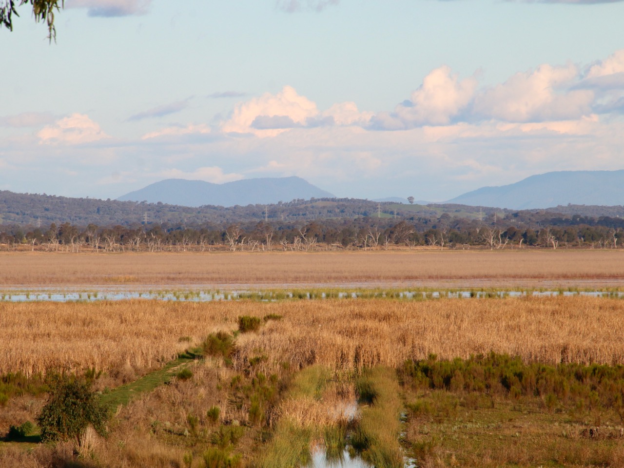
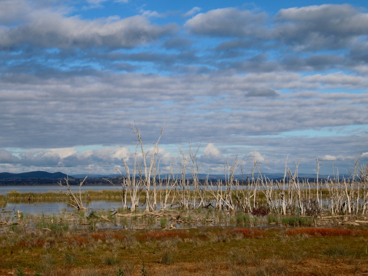
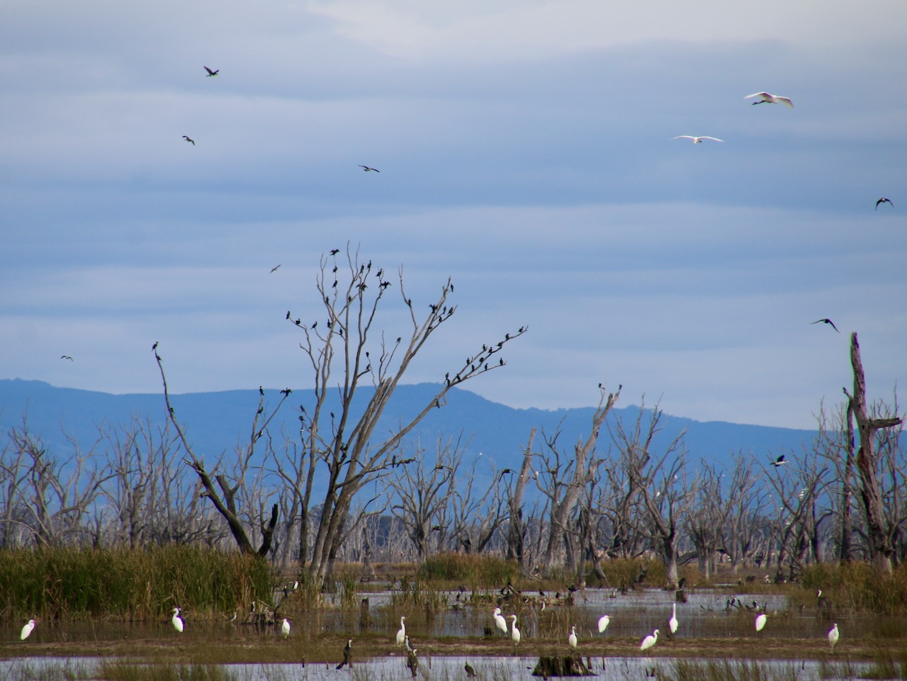
I am currently mapping walks in the extensive Winton Wetlands. Greens Hill is one of my favourites. See the full Victoria Walks walkingmaps version here: Greens Hill Walk
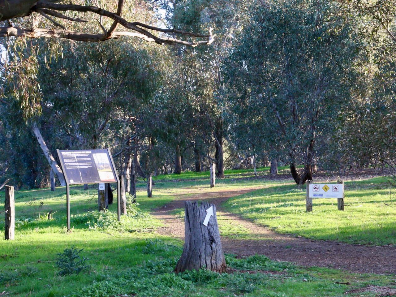
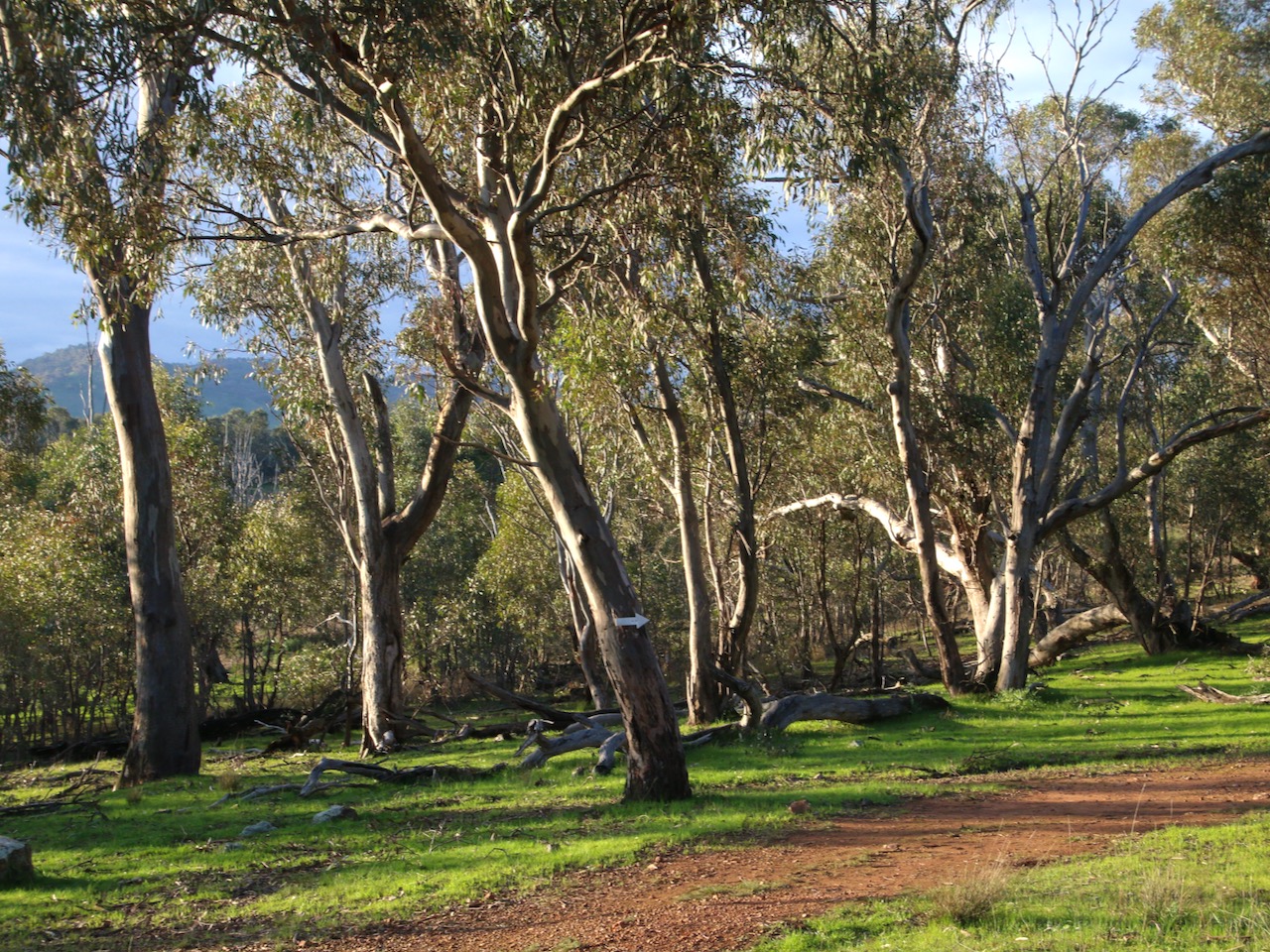

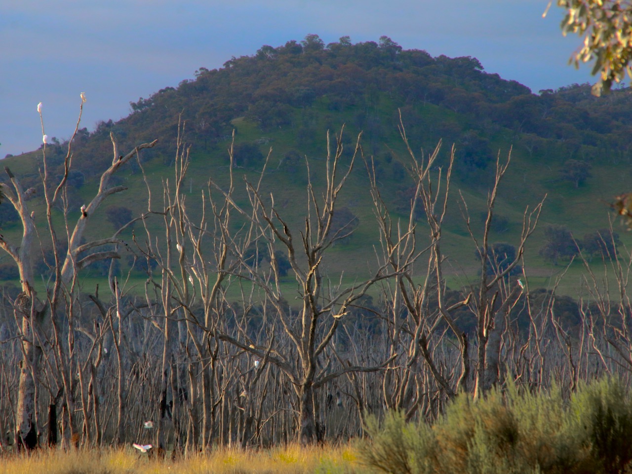


The most recent walk from my work for Winton Wetlands. For the full Victoria Walks version use this link: Heron Loop Walk
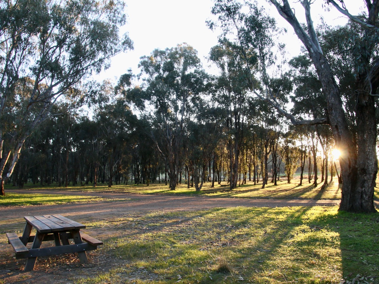
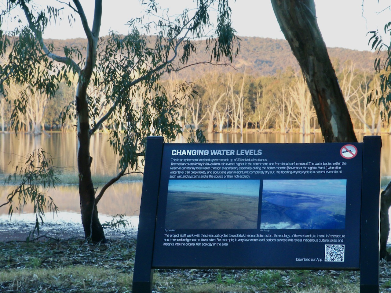
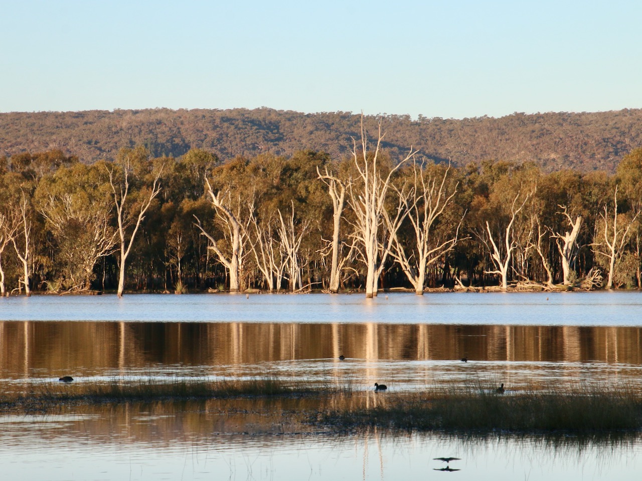
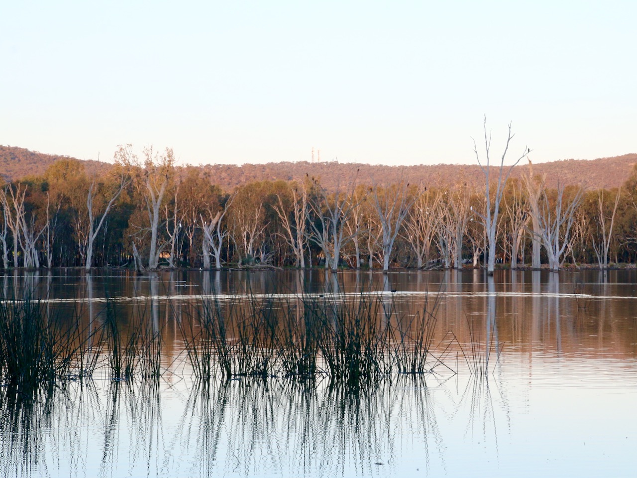


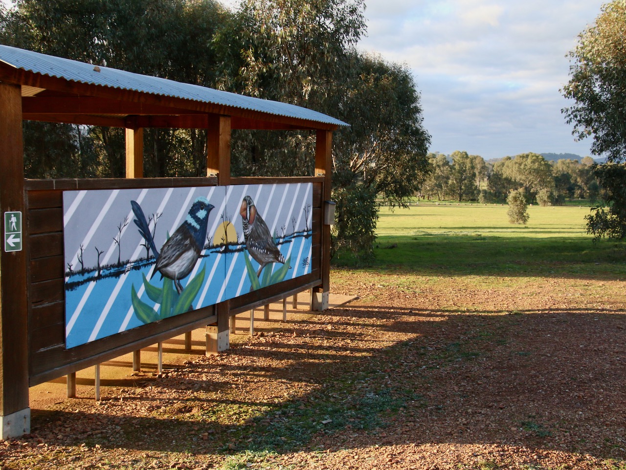
The most recent walk I have mapped in Winton Wetlands. View the full version on Victoria Walks walkingmaps here: Woodland Walk


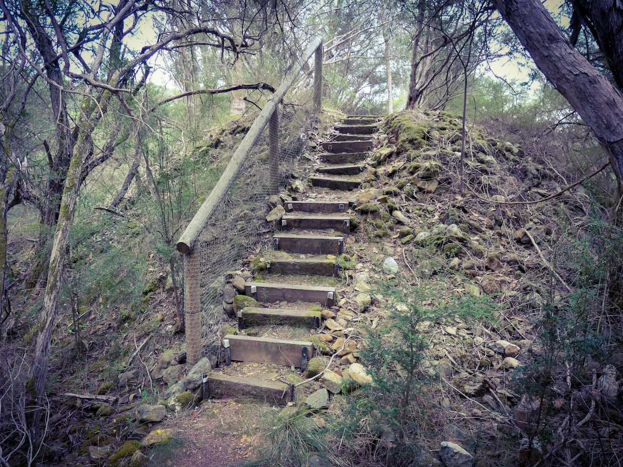
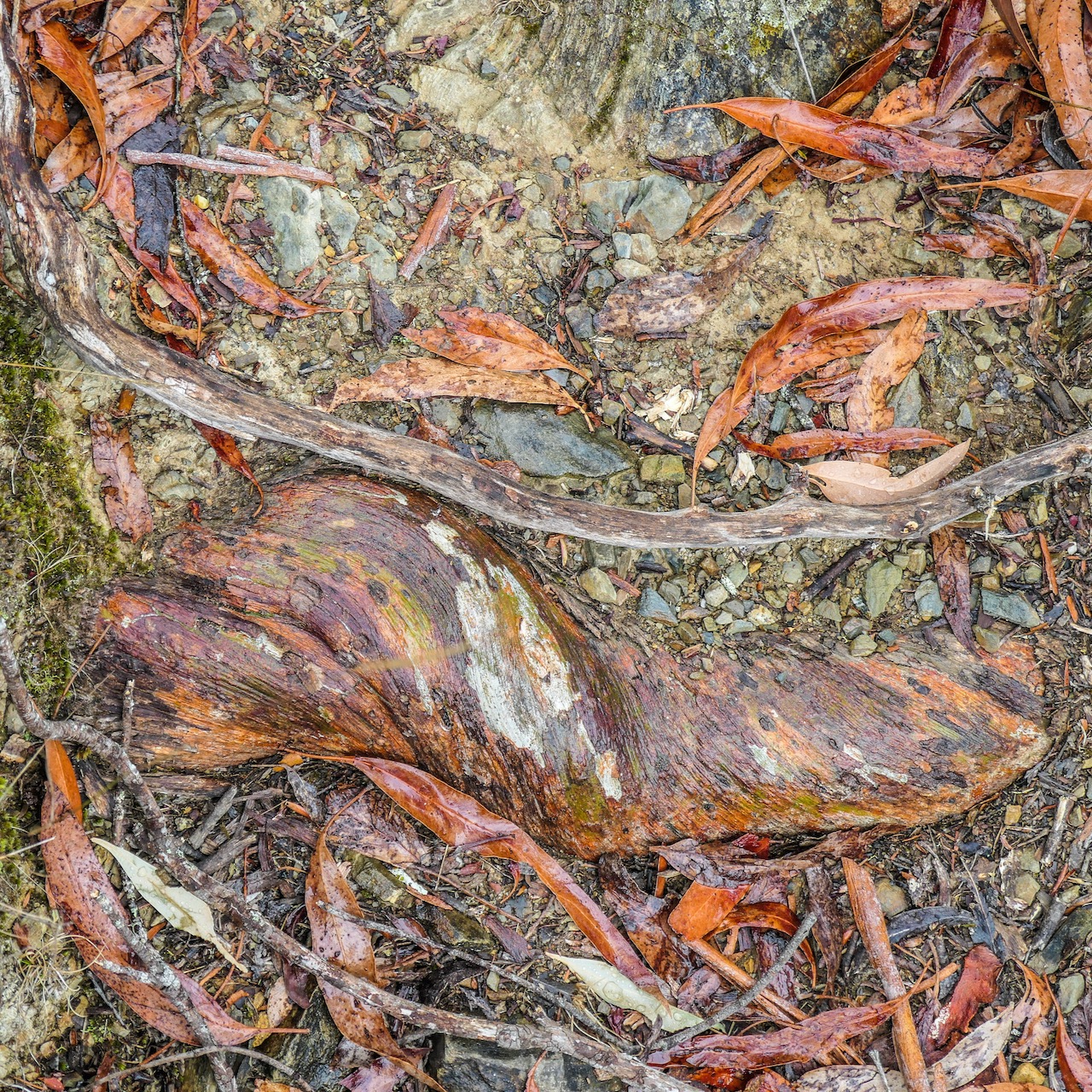
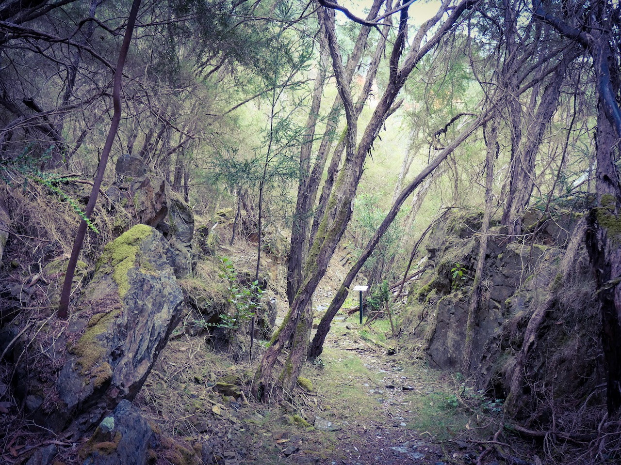
I loved this walk through an ancient revegetating open cut gold mine near Mitta Mitta. The atmosphere was one of enchantment.
You can find the map and descriptions here: Pioneer Mine Walk