


Photography days #11.
All work is my own and subject to copyright. I do not use AI. I do not want AI to use my work.
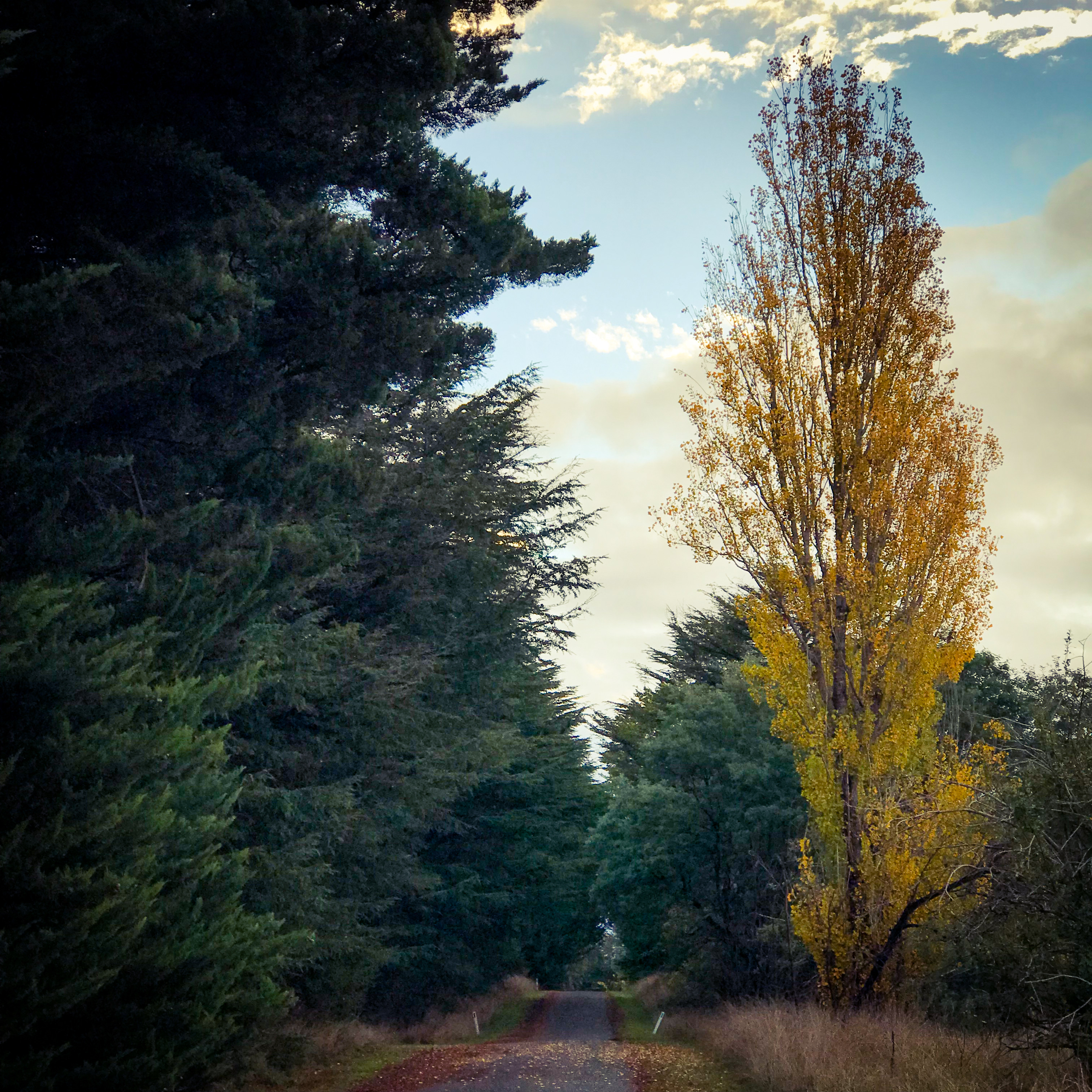
Photography days #11.
All work is my own and subject to copyright. I do not use AI. I do not want AI to use my work.

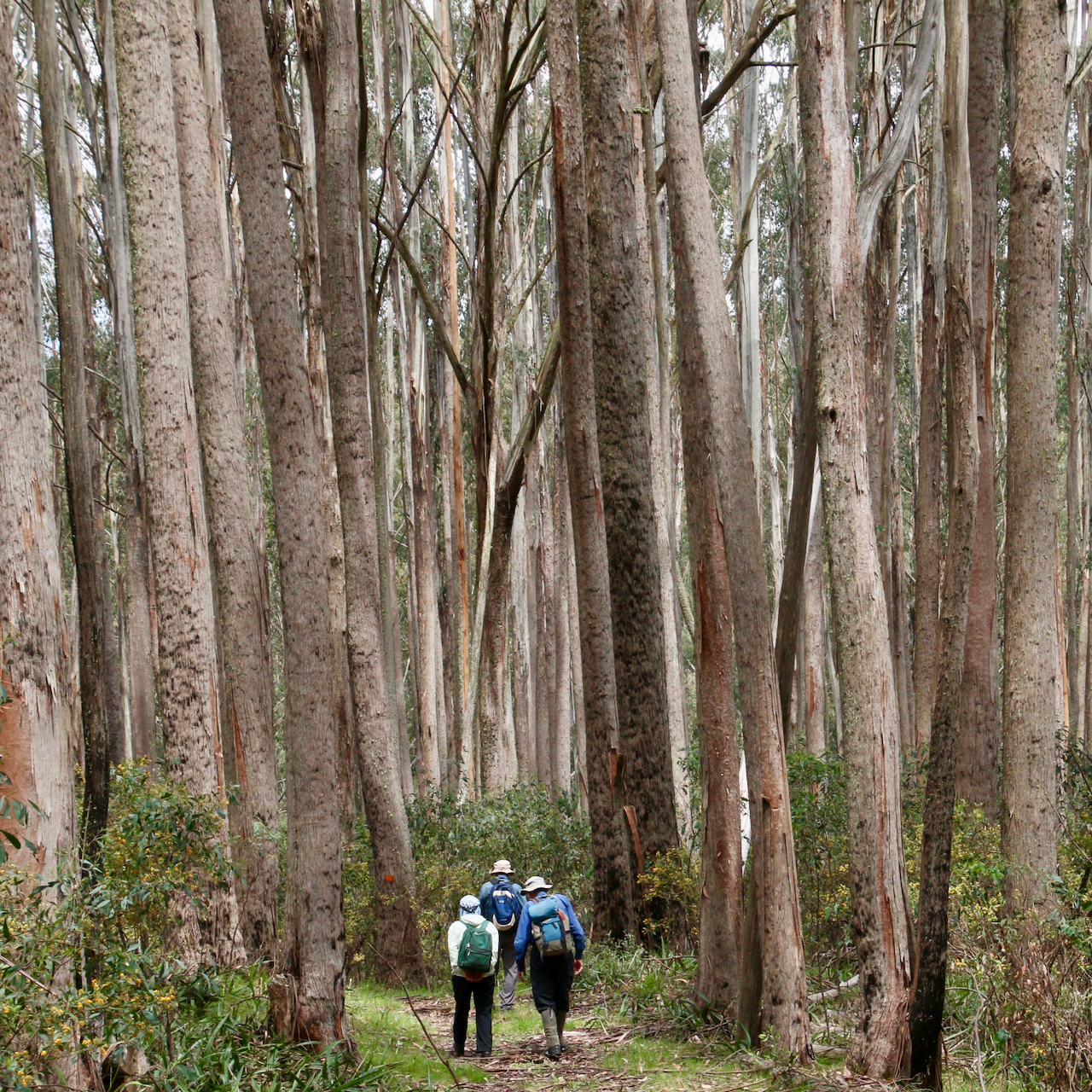
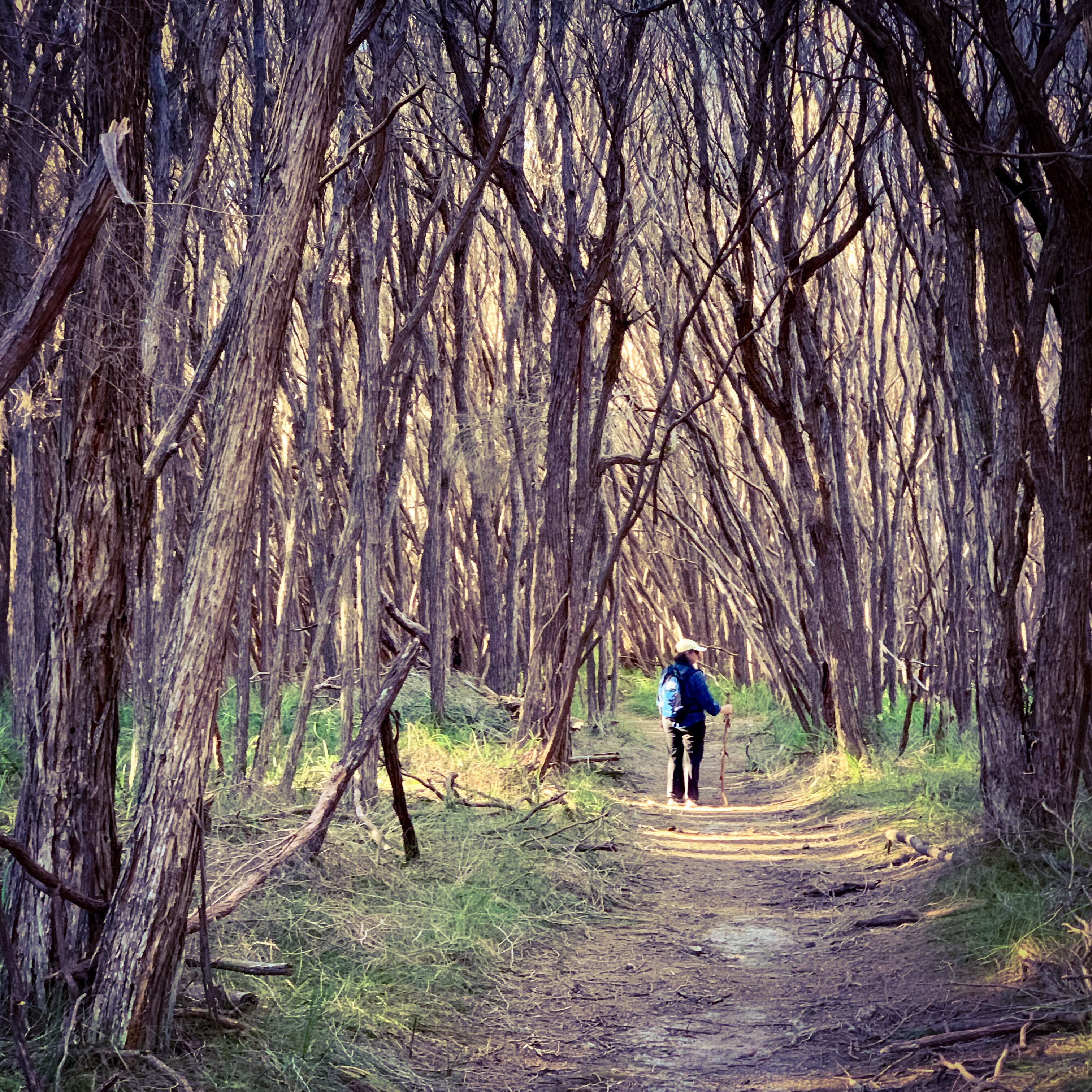
for the clearest view
here's what to do
climb the highest mountain
to just above the snowline
where the trees fade away
on a clear blue day
Photography days #10.
All work is my own and subject to copyright. I do not use AI. I do not want AI to use my work.

The red back pack was already second hand
bought cheap from an opp shop by a hiking man
it’s straps were a bit frayed
it’s colour a bit faded
the brand now out of favour
but it still had years of wear

there were pockets for liquidity
and pockets for your water
pockets for snacks
and a wear pocket for nadir
but if you kept that pocket closed
there was nothing there to fear
there were pockets for your clothing
pockets for rain and sleeping gear

there was a pocket for a journal
and a way to quickly reach a camera
because recording of life’s journey
involves equipment for ephemera

it had seen through a lot of windows
it had been through many a door
it had heard so many a tales
it couldn’t remember them all anymore
it had walked the tracks and trails
of many countries around the globe
such that it's experiences
never felt far from home

but it was ready for new adventures
to be up and about again
it was only a matter of time
before the hiking man said when
Poetry days #02.
All work is my own and subject to copyright. I do not use AI. I do not want AI to use my work.
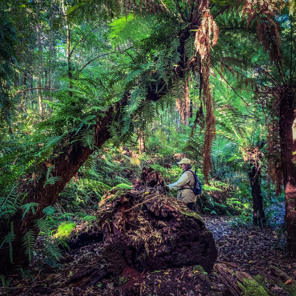
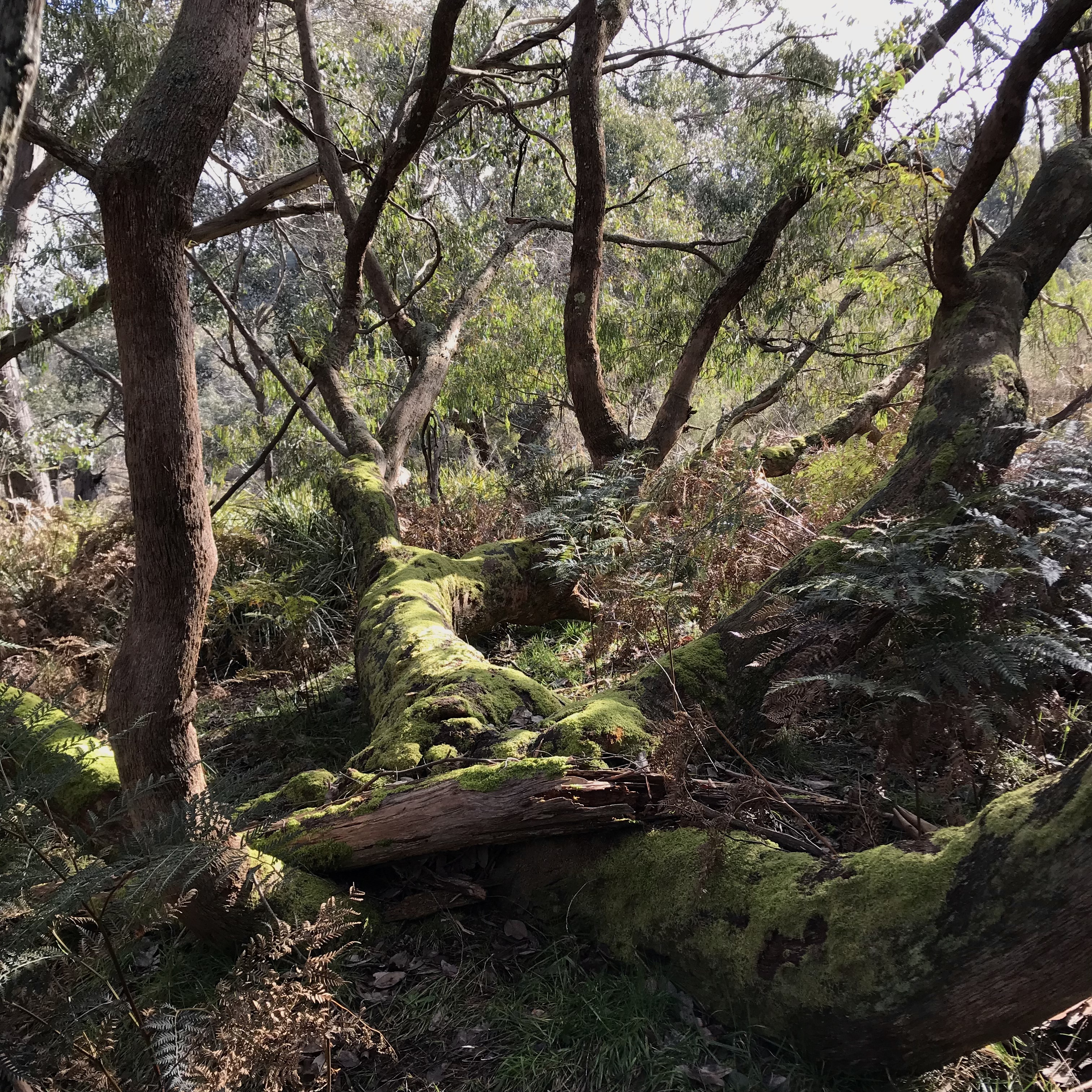
Shafts of sunlight break up the gloom
into luminous green rainforest rooms
every moist step and touch of the earth
another experience of the wonder of life
Photography days #05. You can find the Goodenia walking map and description online at Victoria Walks: https://walkingmaps.com.au/walk/5756
All work is my own and copyright applies. I do not use AI. I do not wish for AI to use my work.


For the full map and description I have published on Victoria Walks’ walking maps click here: https://walkingmaps.com.au/walk/5755
Photography days #04. All work is my own. I do not use AI.
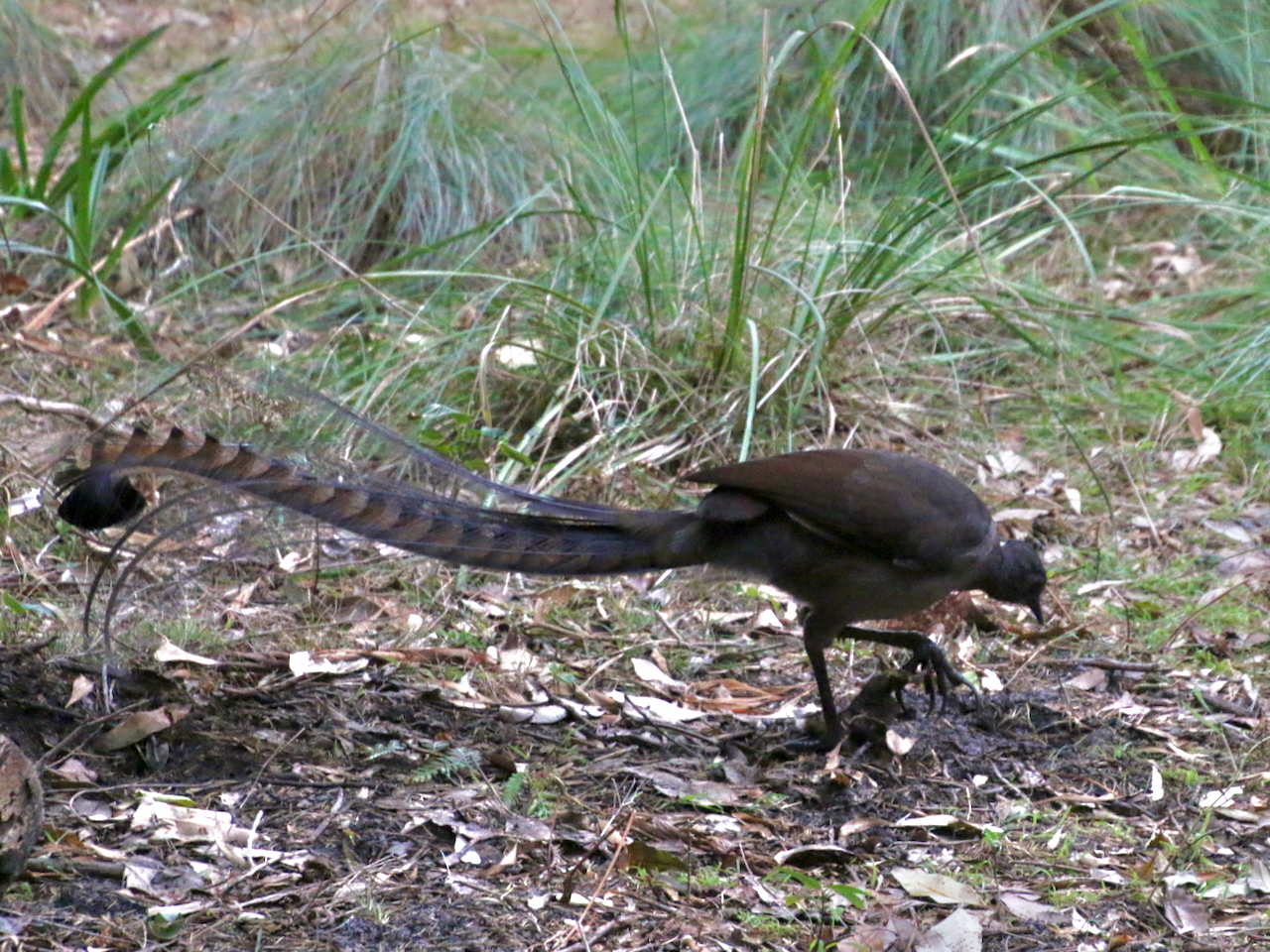
Walking the Strathbogie Ranges has many rewards. The landscapes, waterways and native flora are simply beautiful.
A gallery of 10 images. To see the full photos click an image, then use the arrows to scroll.


Responsible Authority:
Acceptable modes of transit:
Walk
Distance & duration
GPS coordinates & map
 Grading (using the Parks Vic Track and Trail Grading Manual)
Grade 5
Amenities:
None
Hazards
Snakes, tree and limb falls, very steep inclines, cliff faces, overhangs, steep embankments, slippery surfaces include wet surfaces, loose rocks, soil, mud and vegetation, absence of pathways, flowing water
Restrictions
Trailhead sign & Informational Signs
None (Mt Hut Reservoir, GV Water sign at gate)
Directional signs / bollards or trail markers
None
Brochure
None.
Recommendations
Significant sections of this walk are a scramble through steep bush terrain. Trail marking and eventual foot trail creation would improve access and safety.
Conclusion
For experienced, well prepared hikers only. A service track begins at and returns to the Mt Hut Reservoir GV Water gate on the Euroa-Strathbogie Road, but only goes as far as Mountain Hut Creek Reservoir itself. From here you follow the Mountain Hut Creek embankment to Waterhouse Reservoir. At this point, cross the dam wall and once again proceed upwards, around the Reservoir and again onto the creek embankment. There is no trail, the slopes are steep and littered with loose surface material. Take care. However, the reward is great. Charman’s Falls are spectacular, particularly with a good spill of water, and it is downhill all the way back.
