Bear me brother
Bear me well
Bear me from this churning, bloody hell

carry me brother across your broad back
to escape the carnage of bullet, chemical and flack

your boots are heavy, clotted with mud
your uniform rain sodden, stained with blood
your rifle I can no longer see
across your shoulders you trudge with me

my head flops flaccidly I wake and sleep
or is it unconsciousness that takes me deep
away from pain and brutal surrounds
the crashing violence of artillery rounds
the moans of others gashed, crushed and burned
the landscape blackened the ground turned

my noble saviour
my hero of a man
my rescuer of honour
one who does what he can

as you bear me to safety out of harms way
will you release me to live again
or fight another day?
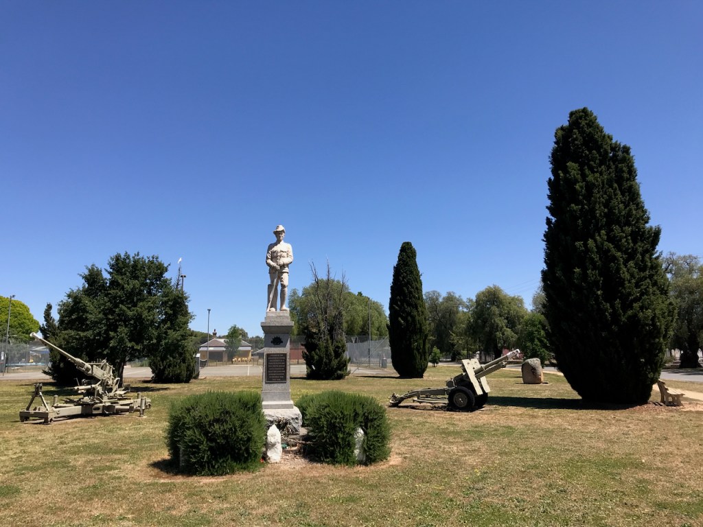
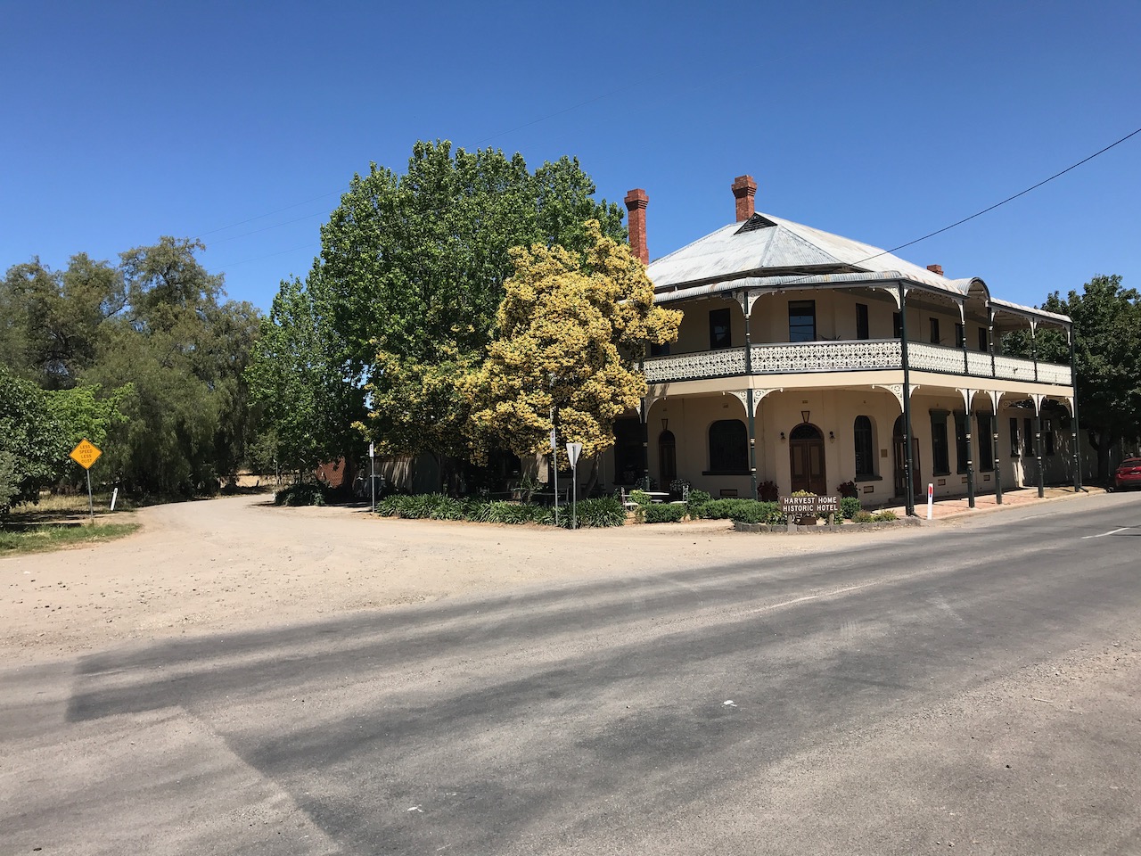
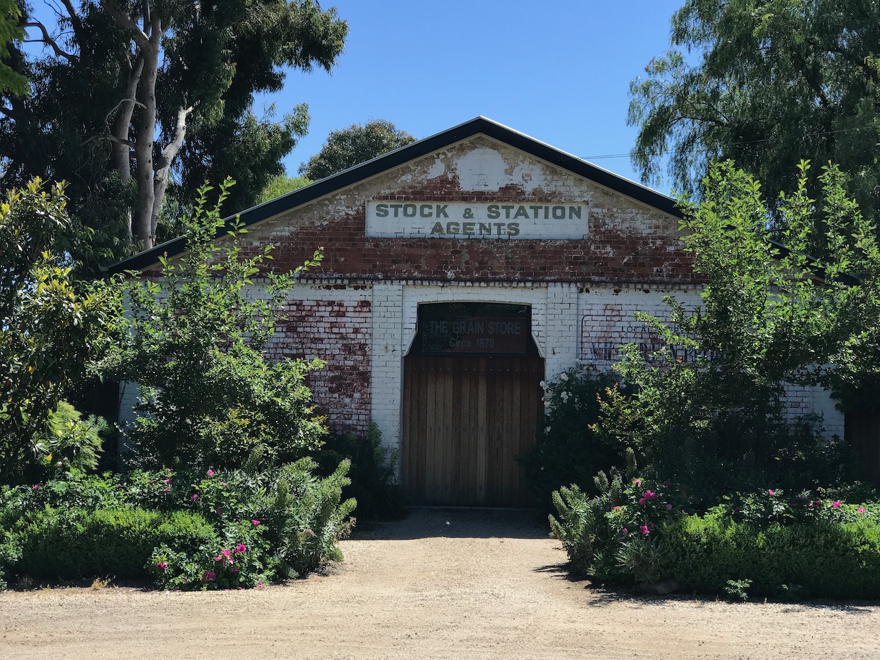
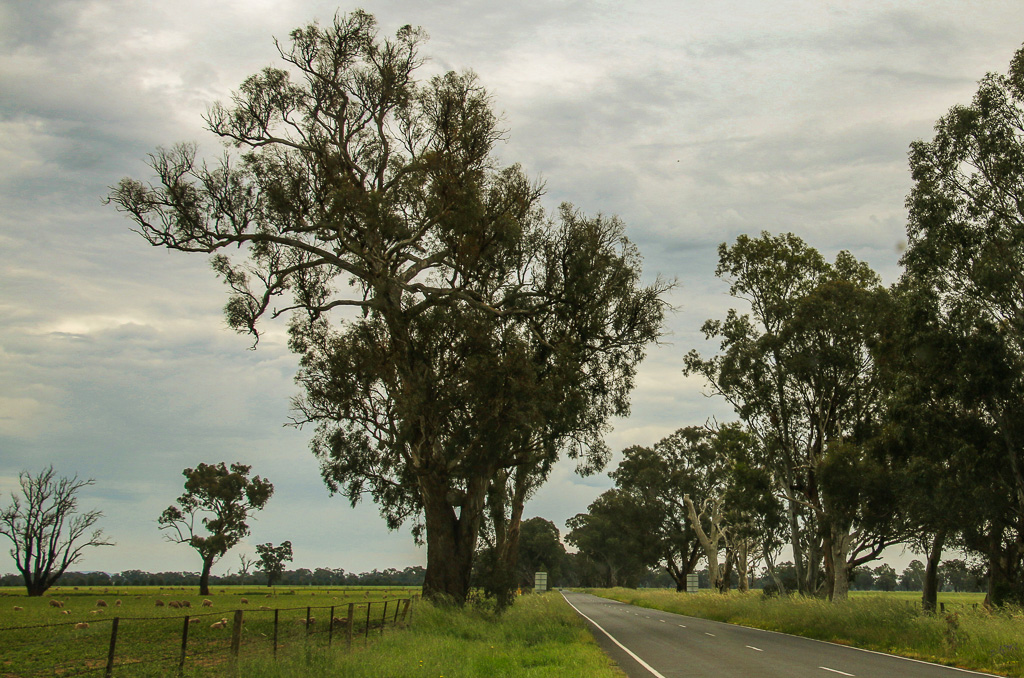
This can be a fast, flat road ride or a comfy cruise. The cropping and grazing plains surrounding Avenel are backdropped by the Strathbogie Tablelands. The township itself is worth taking your time to investigate for its many historic features and amenities. There is an excellent Avenel Heritage Walk (see link below).
Hub & Spoke Cycling Route
Route Name:
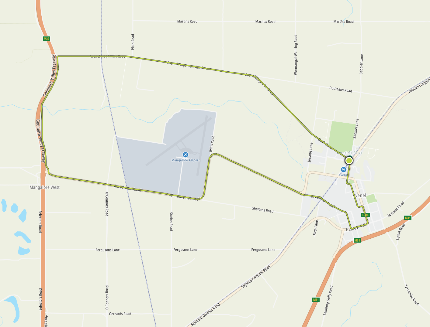
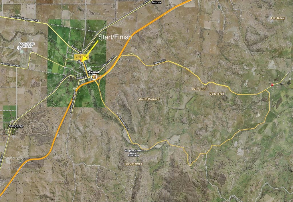
Avenel: Mangalore Aerodrome Loop
Mode:
Road cycling (or any other mode)
Start / Finish locations:
Avenel Railway Station
Difficulty:
Easy
Distance:
23km
Elevation:
136 – 155mm
Topography:
Flat
Surfaces:
Bitumen (smooth)
Description & Features:
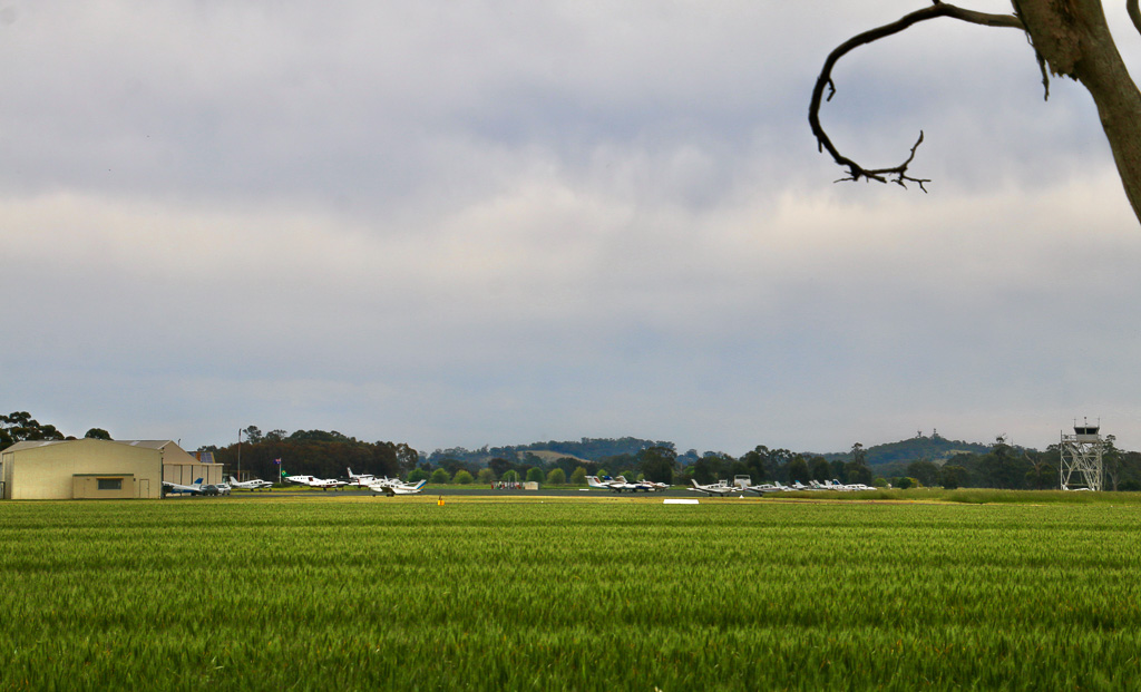
A loop out west past Mangalore aerodrome then back through this historic town
ship
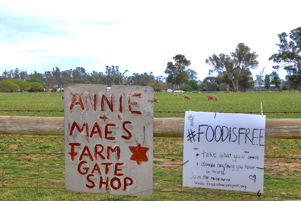
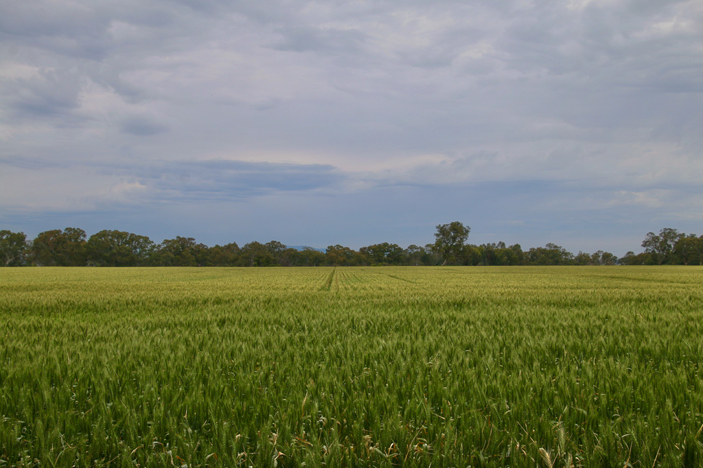
• River Red Gum agricultural plains country for cropping, grazing and horse studs.
• The route skirts Kestrel Helicopter Emergency Services and Mangalore Aerodrome.
• Runs parallel to Goulburn Valley Freeway for a short distance.
• Transits the historic Avenel Township.
Riding conditions:
The terrain is flat and exposed.
Options:
Clockwise or anti clockwise
Amenities (Avenel)
Car parking
BBQ
Fuel
Shops
Seating
Parkland
Playground
Picnic tables
Public toilets
Potable water
Accommodation
Historic features
Sports Reserves
Swimming Pool
Railway station
Cautions:
Snakes may be active
Mobile reception may be unreliable
Carry food, water, First Aid, be SunSmart
Be equipped for self-reliant riding
Anticlockwise Cues:
Start Avenel-Nagambie Rd at Avenel Railway Station
Left Doherty St
Left Aerodrome Rd
Straight Hughes St
Left Old Hume Hwy (Henry St)
Left Livingstone St
Left Watson St
Right Shelton St
Left Jubilee Crescent
Right Queen St
Left Avenel-Nagambie Rd
Avenel Railway Station
Strathbogie cycling #strathbogiecycling
Strathbogie photography #strathbogiephotography
VictoriaWalks Avenel Heritage Walk: https://walkingmaps.com.au/walk/4516
Description & Features:
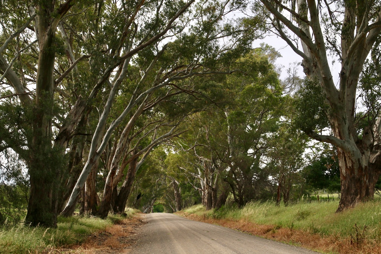
Quiet roads. Beautiful scenery. Vistas to grazing pasture, rolling hills, cherry orchards, vineyards, forested waterways and granite outcrops.
• A steady gravel climb to views across to Mt Wombat from Upton Hill
• A winding bitumen return downhill
• Avenel Maze is passed on the return leg
Riding conditions:
It can be very cold in winter and very hot in summer.
Check local weather conditions before leaving.
Options:
Choose clockwise or anti clockwise, the 14km of gravel is at the eastern end of Tarcombe Rd
Amenities (Avenel):
Car parking
BBQ
Fuel
Shops
Seating
Parkland
Playground
Picnic tables
Public toilets
Potable water
Accommodation
Historic features
Sports Reserves
Swimming Pool
Railway station
Cautions:
Steep climbs
Soft shoulders
Slippery surfaces
Subject to flooding
Road surfaces vary
Snakes may be active
Mobile reception may be unreliable
Carry food, water, First Aid, be SunSmart
Be equipped for self-reliant riding
Anticlockwise Cues:
Start Jubilee Park car park
Right Ewings Rd
Right Livingstone St
Left Mitchell St
Right Jones St
Cross Hume Fwy
Straight on Tarcome Rd
Left Upton Rd
Right Tarcombe Rd
Cross Hume Fwy
Straight Jones St
Left Mitchell St
Right Anderson St
Left Ewings Rd