Walking and Rolling Together

Please copy and share this tile to your networks and social media.

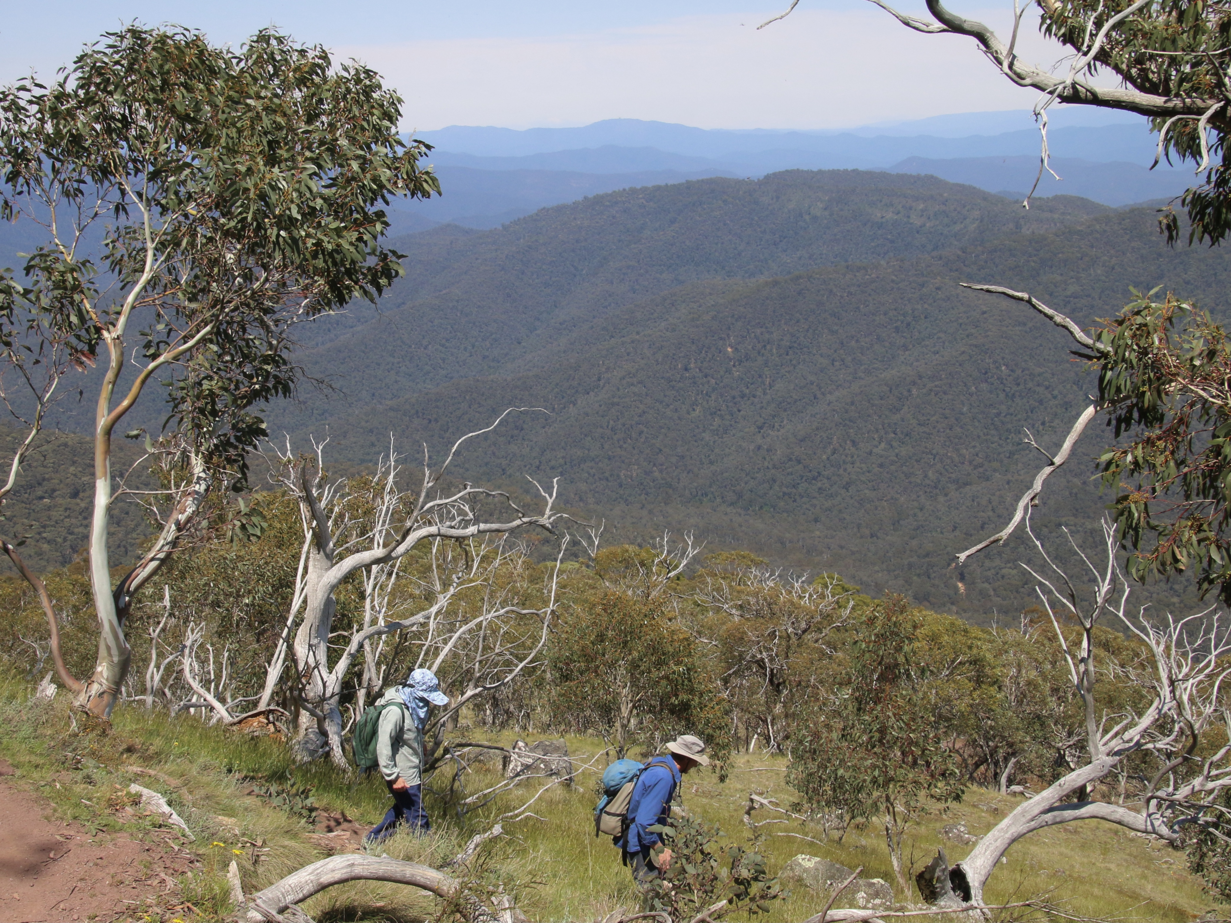
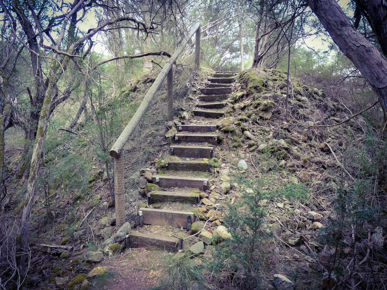
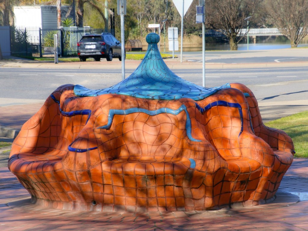
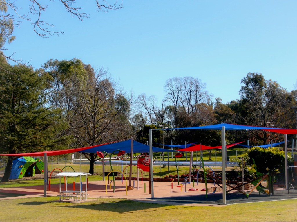
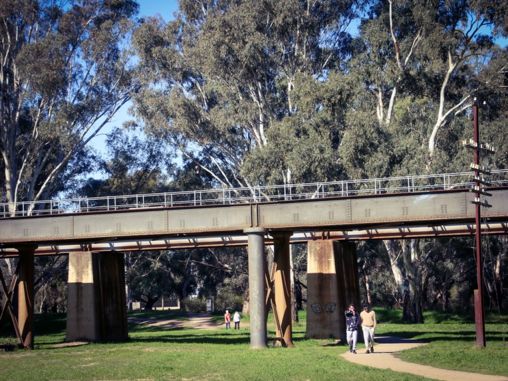
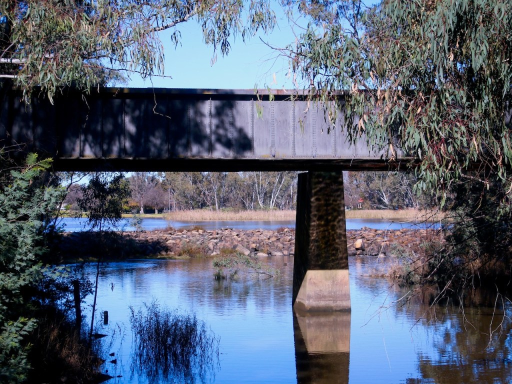
For the past three years I have had the pleasure of leading the Walking and Rolling Together project for identifying, assessing, photographing and describing potential accessible walking / rolling paths across our wonderful state of Victoria.

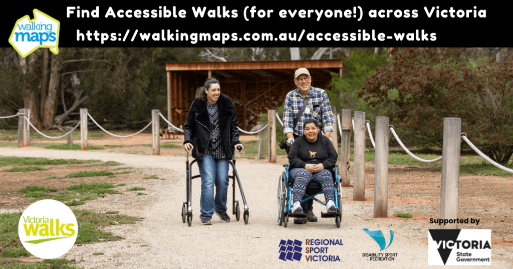
Victoria Walks’ unique audit tool, developed and co-designed by people with disability, and its application to the co-auditing process by and for people with disability, has resulted in seventy metro, regional and rural accessible walking / rolling paths being published as digital accessible walking / rolling maps.

We have made the audit tool free to download and use for discovering more accessible walking and rolling paths. It would be applicable anywhere in the world.

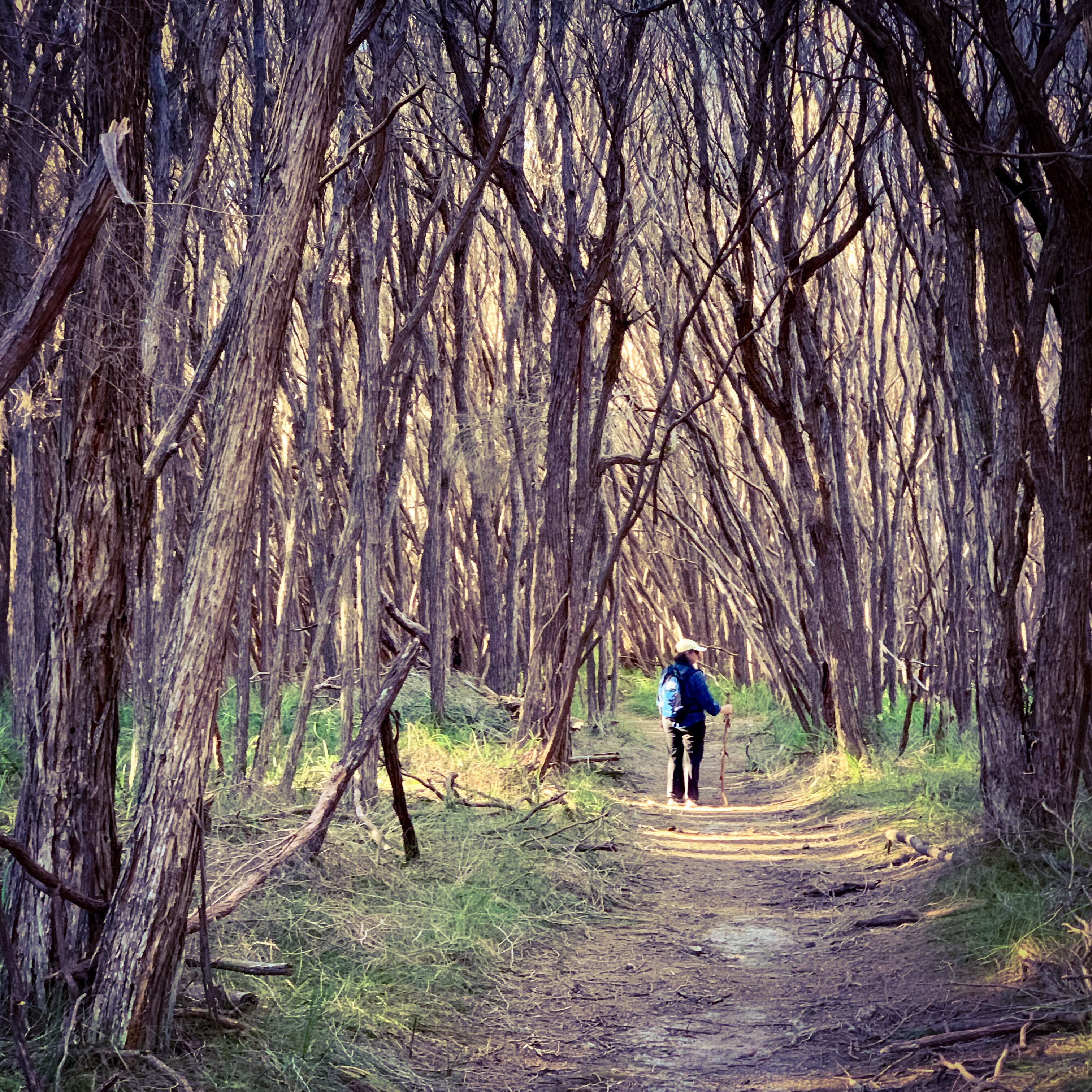
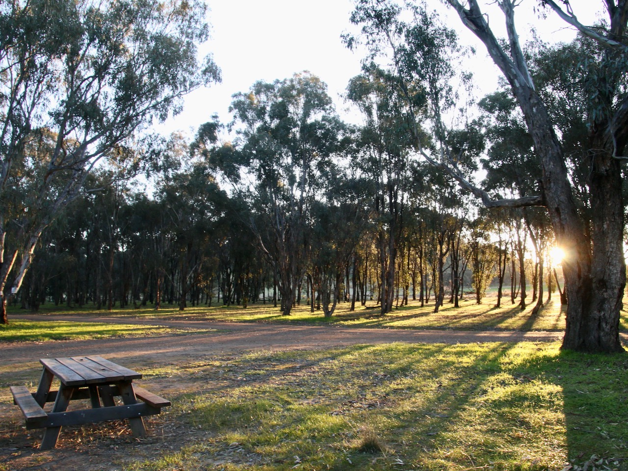
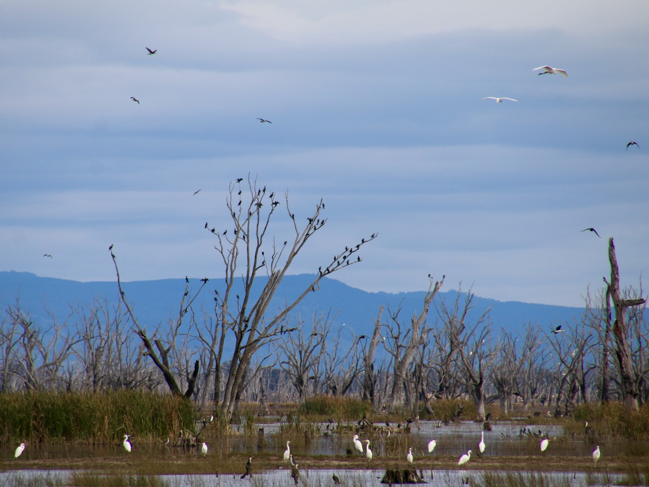
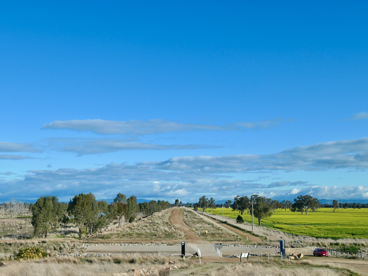
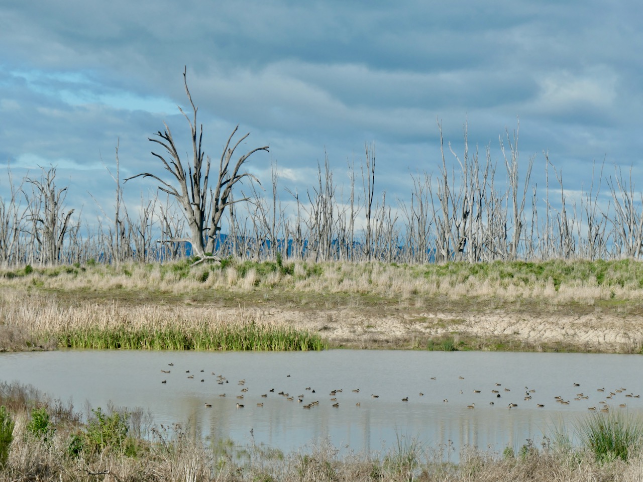
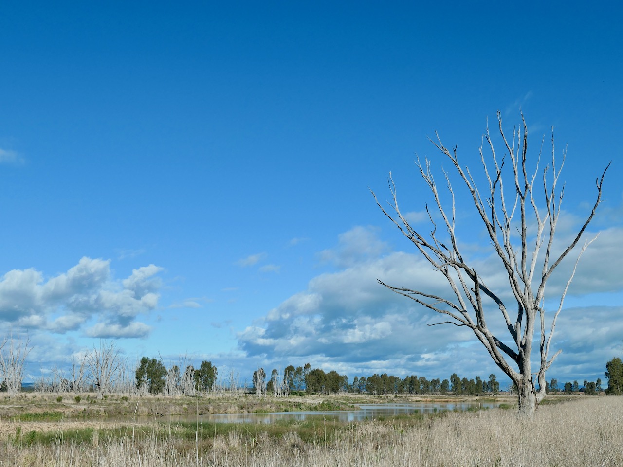
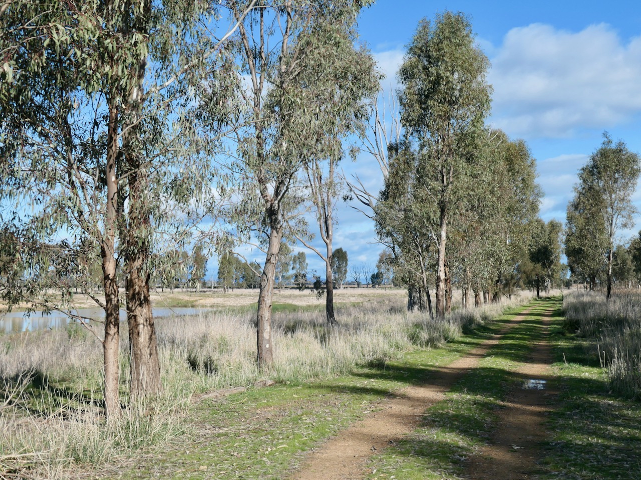
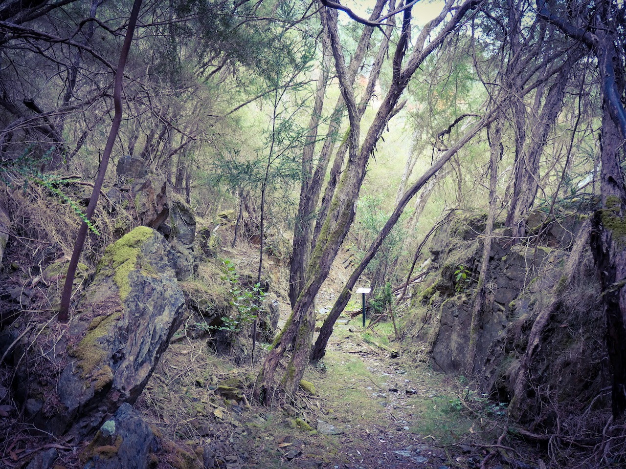
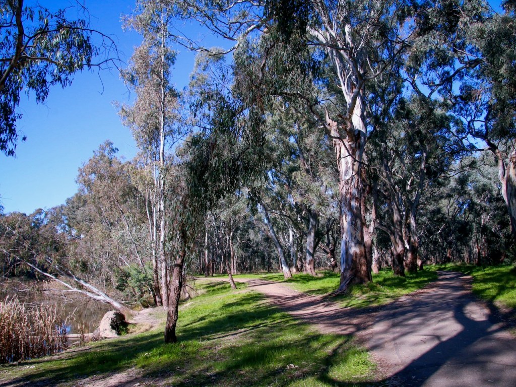
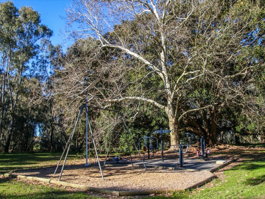
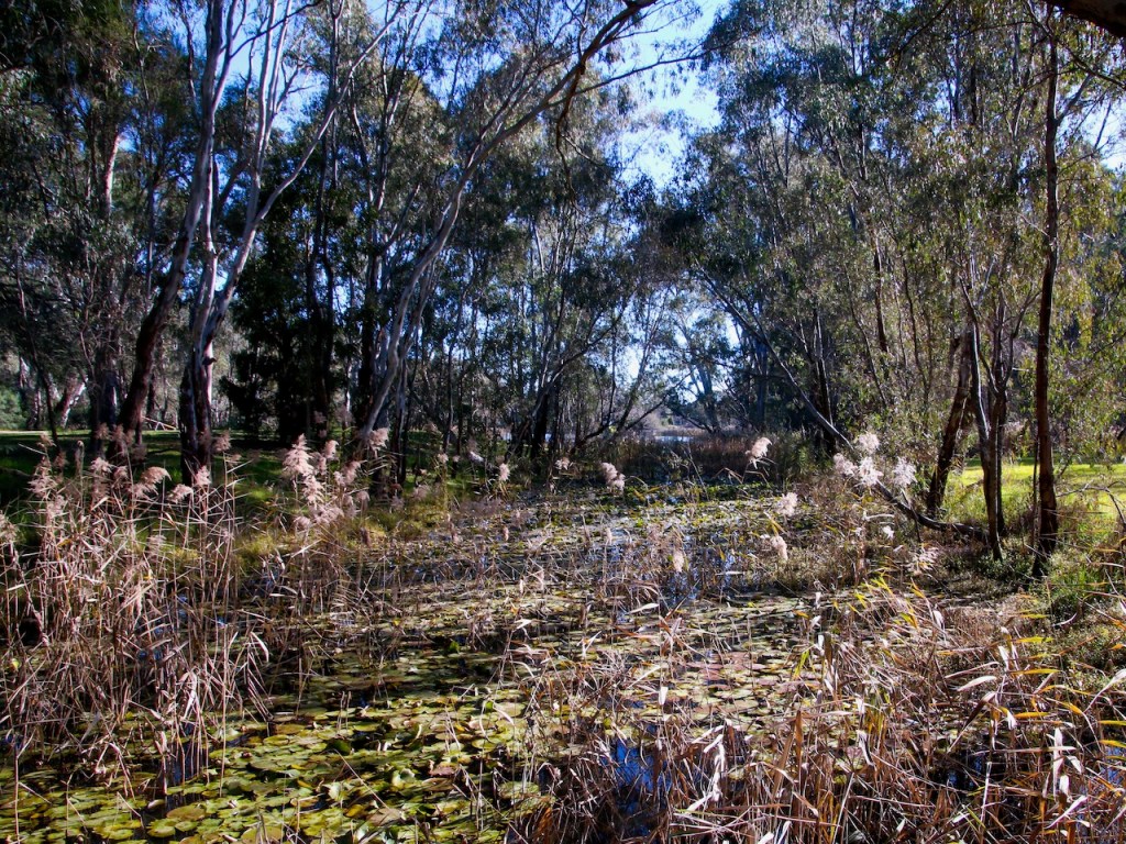
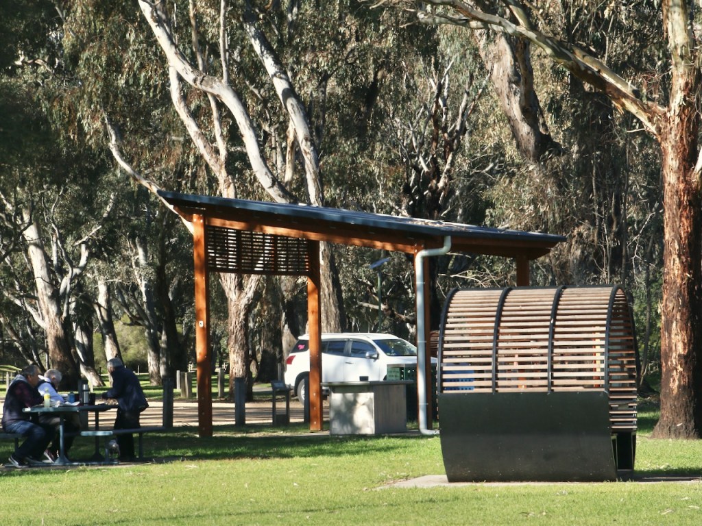
The project is coming to a close. People with disability and carers can now look up an accessible walking / rolling map and find out all about the accessible features. We are promoting this work as far and wide as we can to encourage everyone to share the accessible walking maps, to get outdoors and to enjoy nature.

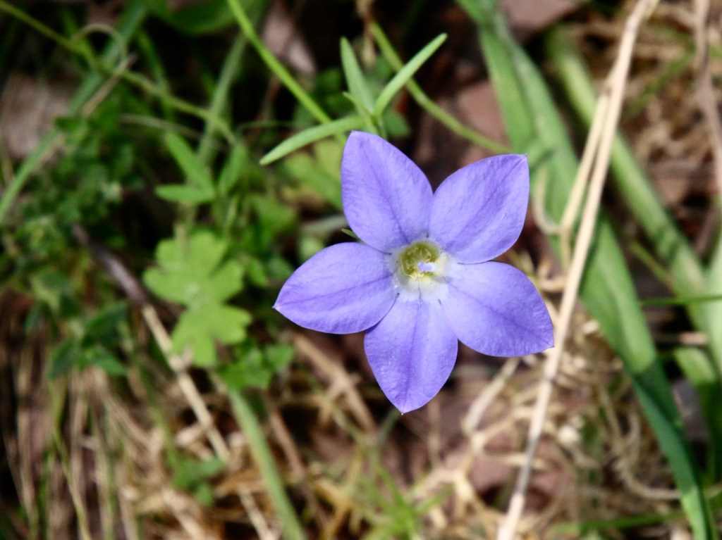
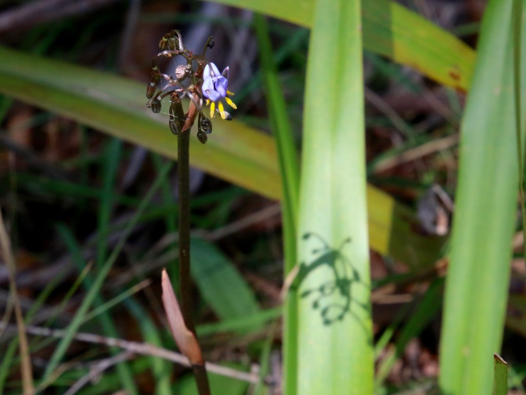
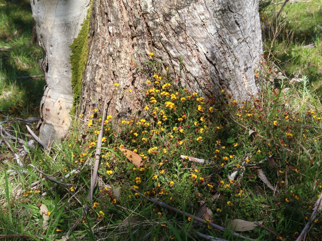
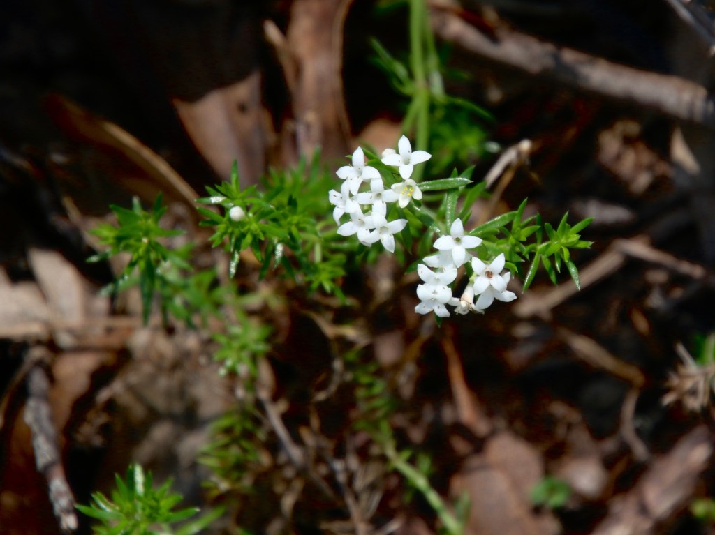
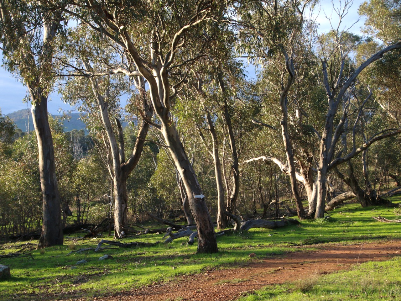
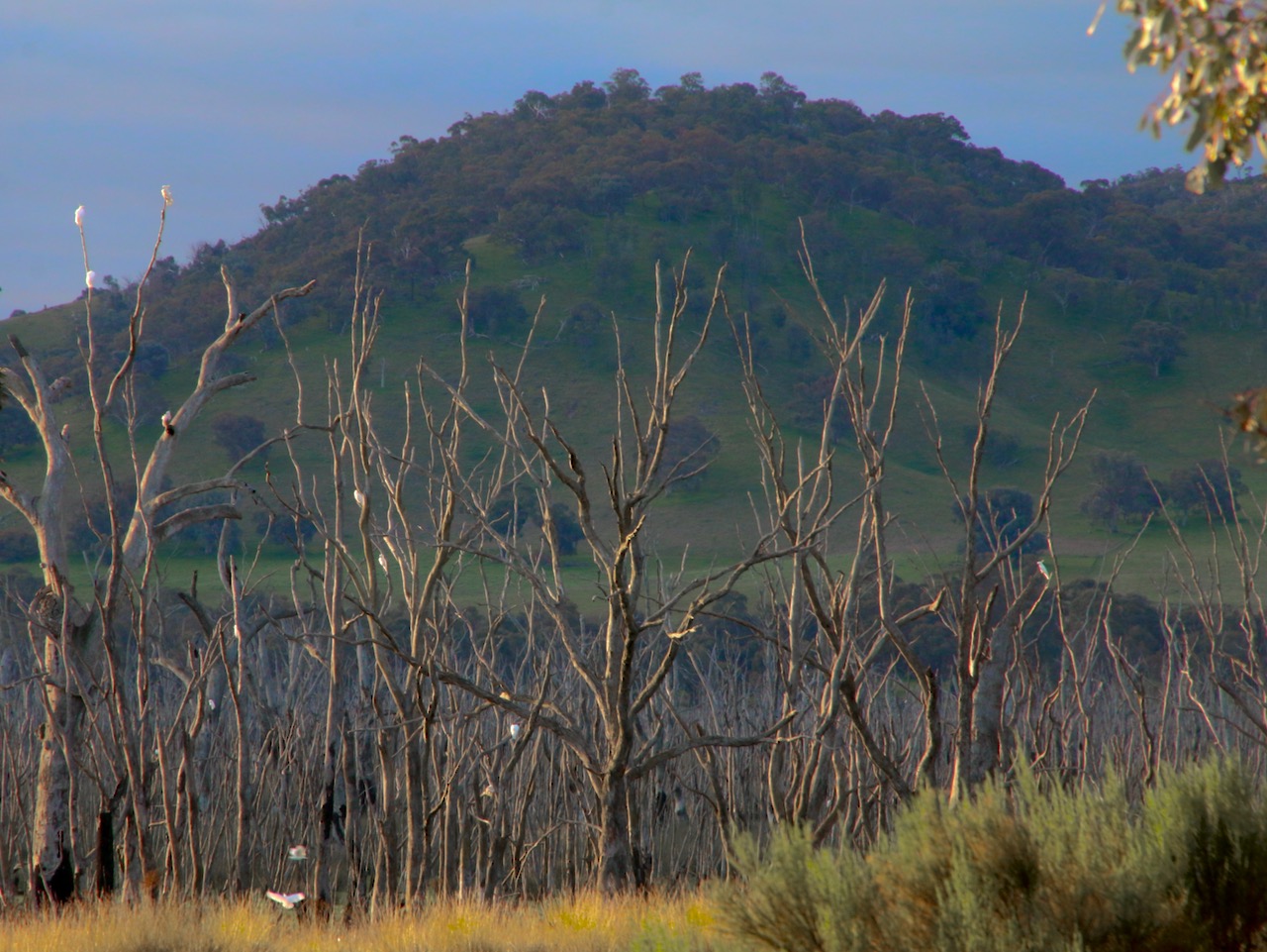
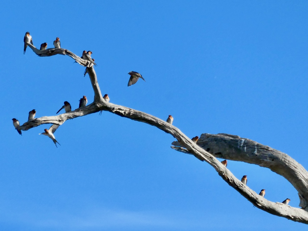
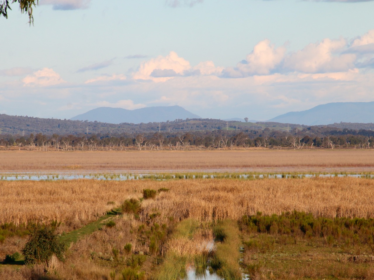
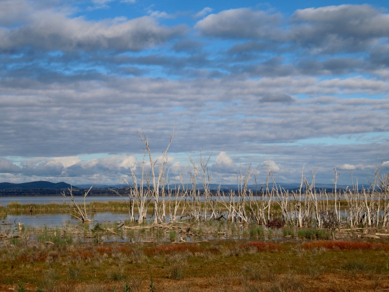
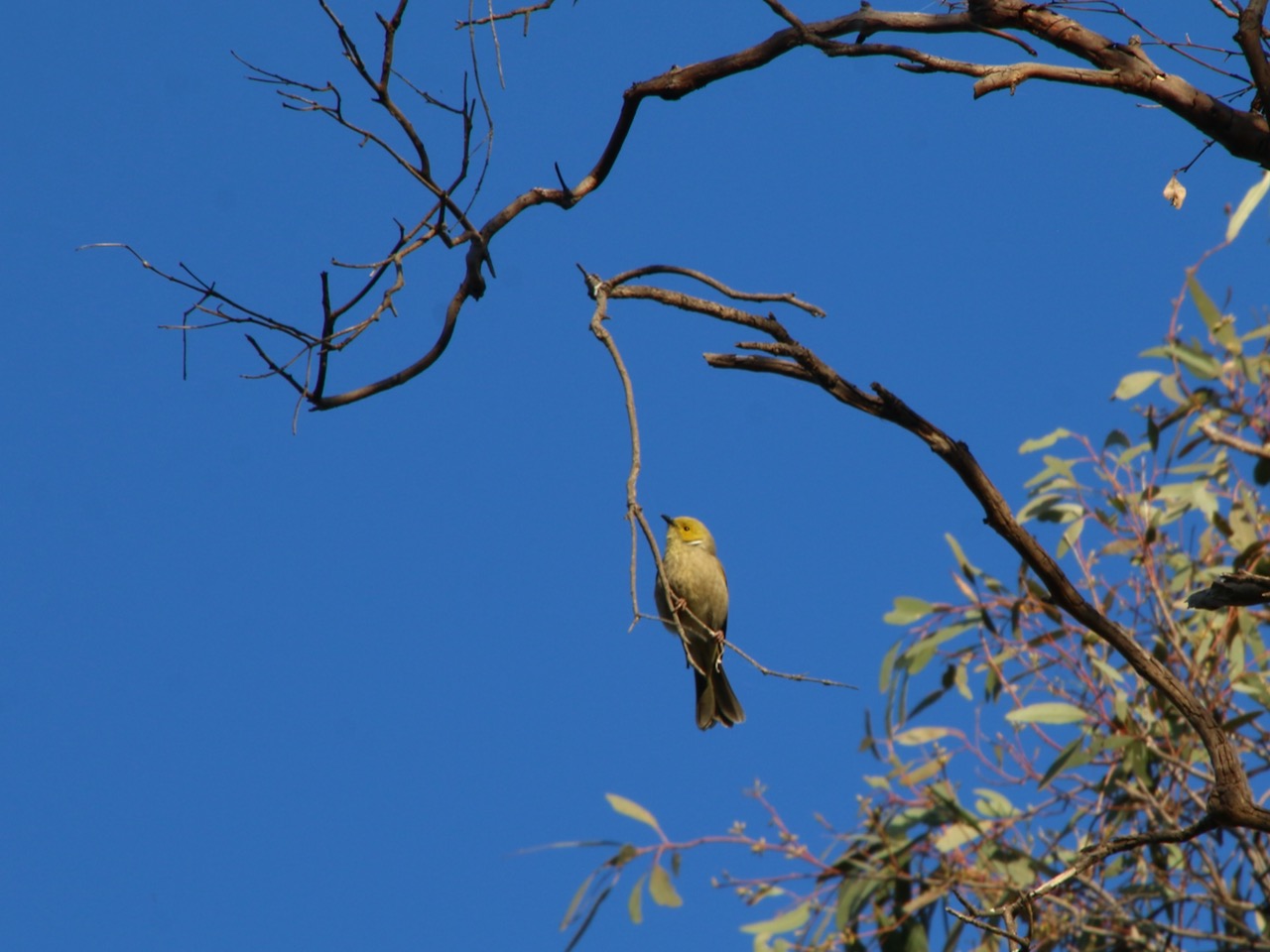
We have created this resource for everyone. There is no doubt, walking and rolling can deliver amazing experiences as well as great health and wellbeing outcomes.

Bournda National Park walking

For the full map and description I have published on Victoria Walks’ walking maps click here: https://walkingmaps.com.au/walk/5755

Photography days #04. All work is my own. I do not use AI.

Strathbogie Ranges tracks and trails #01

Walking the Strathbogie Ranges has many rewards. The landscapes, waterways and native flora are simply beautiful.

A gallery of 10 images. To see the full photos click an image, then use the arrows to scroll.

Timbertop Saddle – Mt Timbertop summit walk (return)

This is a fantastic day walk in the Victoria High County near Mansfield. Autumn laid on a delightful smorgasbord of wildflowers and clear skies. For the full map, photos and description see my online publication here: https://walkingmaps.com.au/walk/5822

Walking Dip Lane, Sheans Creek

Woollybutt

Woollybutt forest, Mt Stirling

An excellent walk in the towering Woollybutt Alpine Ash forest of Mt Stirling. Find my map and description here https://walkingmaps.com.au/walk/5836

Ruffey Creek walk

One of the nice surprises – a Gang Gang eating Hawthorn berries.

This large suburban park is full of nice surprises. There is an interesting local history trail, there are pleasant walking paths and the playground and other amenities provide for all the family.

Find the map here on http://www.walkingmaps.com.au with a full description using this link Ruffey Creek walk

The Lunette walk, Winton Wetlands

A Whistling Kite at Winton Wetlands

This is the second last of the ten walks to be mapped and published by me from Winton Wetlands. It has taken a while to get to, but it was worth the wait: Lunette walk

You can find the other Winton Wetlands walks I have published to date here: https://wintonwetlands.org.au/walking/

Koetong “Spa” and Wildflower walk

Koetong Creek

Koetong Creek in Mt Lawson State Park runs through open woodland of Narrow and Broad-leaf Peppermint, Candlebark, Manna, Blue and Brittle Gum, Red Stringybark, Long-leaf and Red Box. You will also find Black Cyrpess-pine and Kurrajong. The combination of diverse forest layers, a cascading waterway (Spa) and beautiful wildflowers give this walk a real buzz. Take a hike.

You will find the walking map and details I have published on http://www.walkingmaps.com.au here Koetong “Spa” and Wildflower walk

Mt Timbertop wildflowers

Watkins walk

Watkins Road

Watkins walk is a Strathbogie Tableland roadside walk through grazing farmland and native forest. One of its other attractive features is the high conservation value roadside vegetation including various towering species of eucalypt.

Such roadsides are critical local biolinks for flora and fauna. There is plenty to see and wildlife sightings are common.

This is a little trafficked smooth gravel road and Strathbogie Tableland is quiet. You can hear cars approaching from some way off. It is pretty safe walking. However, it still makes sense to stick to the right of the road so you are facing any oncoming vehicles that do appear.

Click this link Watkins walk to the map I have created on http://www.walkingmaps.com.au

Greens Hill Walk, Winton Wetlands

I am currently mapping walks in the extensive Winton Wetlands. Greens Hill is one of my favourites. See the full Victoria Walks walkingmaps version here: Greens Hill Walk

Heron Loop Walk, Winton Wetlands

The most recent walk from my work for Winton Wetlands. For the full Victoria Walks version use this link: Heron Loop Walk

Woodland Walk, Winton Wetlands

The most recent walk I have mapped in Winton Wetlands. View the full version on Victoria Walks walkingmaps here: Woodland Walk

Mokoan Ponds Walk, Winton Wetlands

A new walk I have published on Victoria Walks walkingmaps. You can see the full version here: Mokoan Ponds Walk

Yorta Yorta Yarning and Gathering Pathway (Sculpture Walk), Winton Wetlands

A special walk that adds to the wonderful outdoor public art collection at Winton Wetlands. You can view the full version and artist details here: Lotjpatj Natjan Danak

Pioneer Mine Walk, Mitta Mitta

I loved this walk through an ancient revegetating open cut gold mine near Mitta Mitta. The atmosphere was one of enchantment.

You can find the map and descriptions here: Pioneer Mine Walk

Lake Benalla walk

Another recent publication on walkingmaps is Lake Benalla walk. I have walked this 5k circuit several times and always find it pleasing and interesting. The diversity of experiences and observations is very impressive. You will find the link to the map of the walk and descriptions after the gallery.

Click the link to visit the walk: Lake Benalla walk

Benalla Botanical Gardens walk

My new walkingmaps project is Benalla Rural City and surrounds. Benalla Botanical Gardens walk has something for everyone. I often stop by the Art Gallery to enjoy some of the wonderful exhibitions. The playground is great fun for kids. The gardens are a pleasure to stroll. I took the photographs in autumn and winter.

From now, I will start by including a gallery of my favourite images taken on each walk, followed by a link to the published map and details.

You can find the walking map here: Benalla Botanical Gardens walk

Dartmouth Dam Wall walk

A new walk I have published on VictoriaWalks walkingmaps. Here is the link Dartmouth Dam Wall walk

Pioneer Mine walk, Mitta Mitta

One of my favourite recent walks published on VictoriaWalks walkingmaps. Here is the link: Pioneer Mine, Mitta Mitta

Mitta Mitta River walk

A new walk I have published on VictoriaWalks walkingmaps. Here is the link Mitta Mitta River walk

Mitta River to Old Tallangatta walk

I have published this walk on VictoriaWalks walkingmaps. It adopts a section of the High Country Rail Trail in Towong Shire. Here is the link: Mitta River to Old Tallangatta walk

Curdies River and Foreshore walk, Peterborough

A new walk from the south west coast Curdies River and Foreshore walk

Gibson Steps Beach walk, Port Campbell National Park

Another beautiful walk I have published on VictoriaWalks walkingmaps: Gibson Steps and Beach walk