
An excellent walk in the towering Woollybutt Alpine Ash forest of Mt Stirling. Find my map and description here https://walkingmaps.com.au/walk/5836
An excellent walk in the towering Woollybutt Alpine Ash forest of Mt Stirling. Find my map and description here https://walkingmaps.com.au/walk/5836

This large suburban park is full of nice surprises. There is an interesting local history trail, there are pleasant walking paths and the playground and other amenities provide for all the family.
Find the map here on http://www.walkingmaps.com.au with a full description using this link Ruffey Creek walk

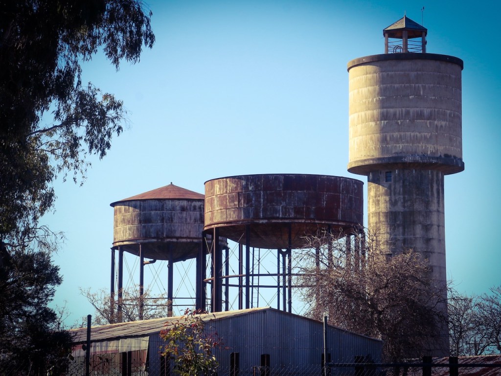
This is the second last of the ten walks to be mapped and published by me from Winton Wetlands. It has taken a while to get to, but it was worth the wait: Lunette walk
You can find the other Winton Wetlands walks I have published to date here: https://wintonwetlands.org.au/walking/
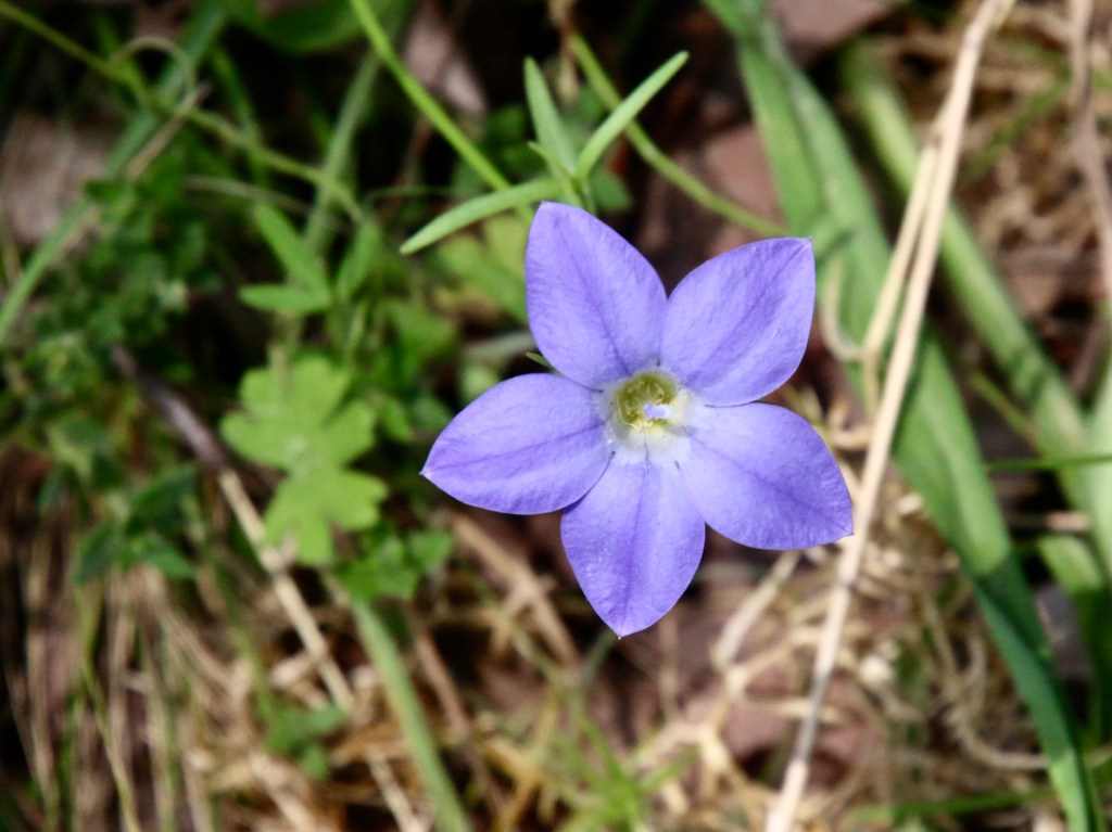
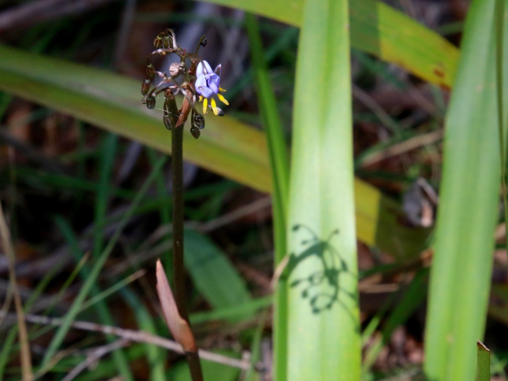


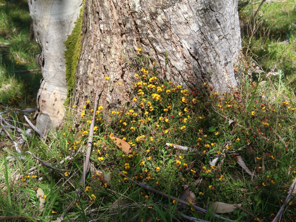


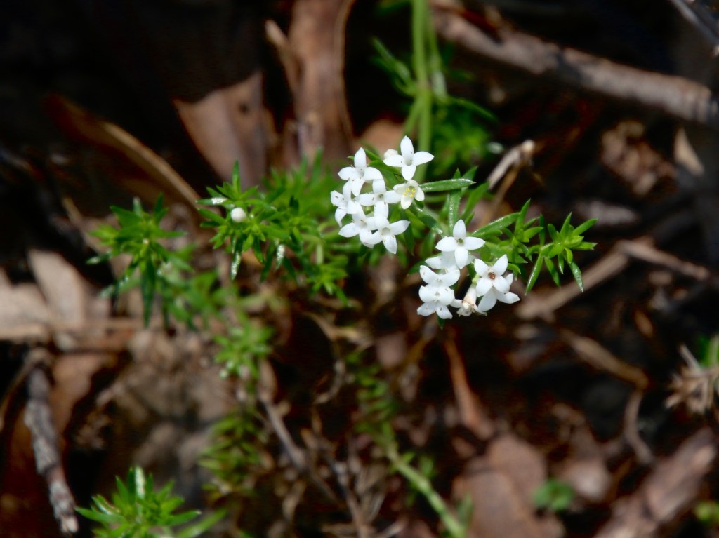
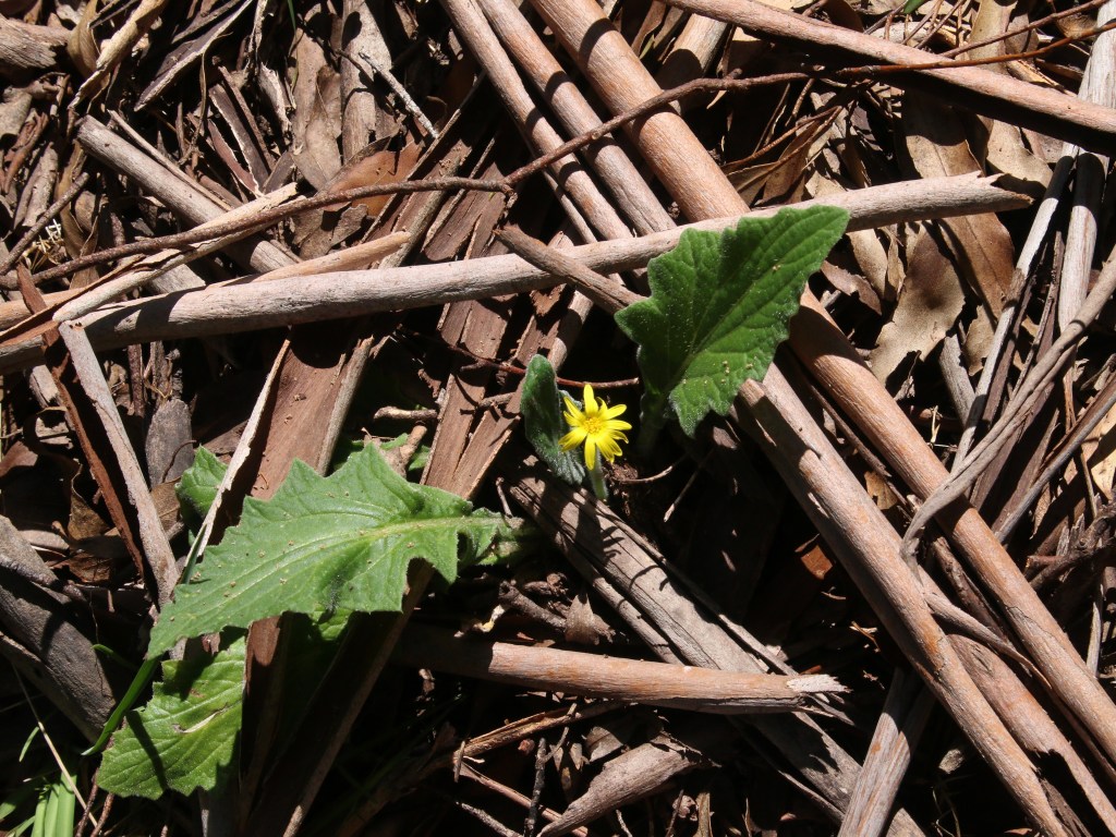
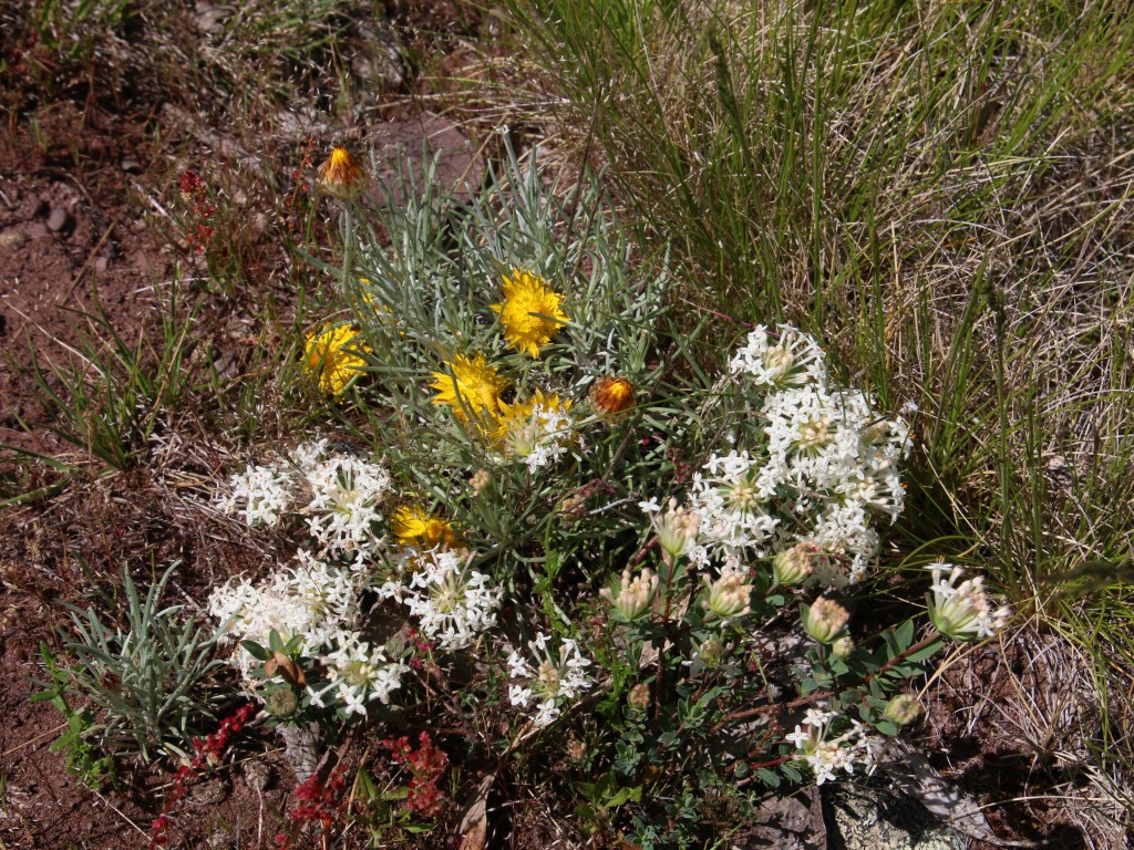

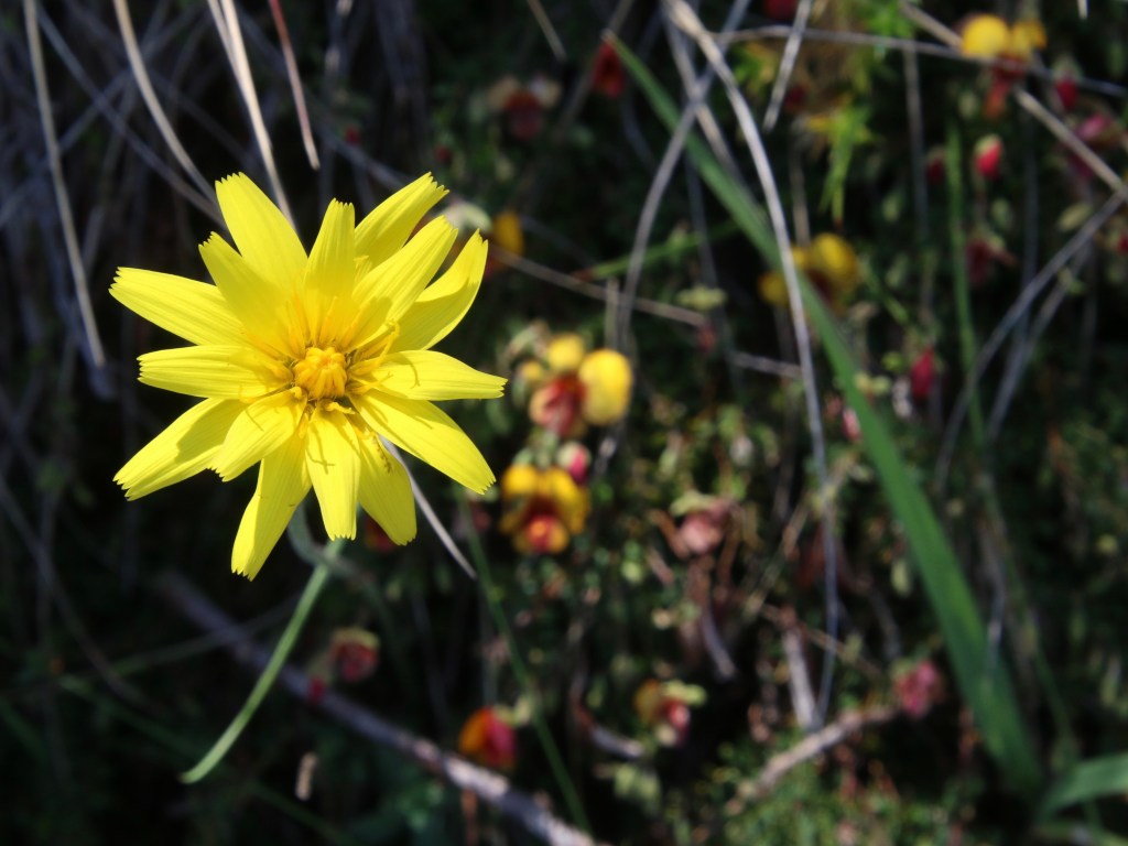
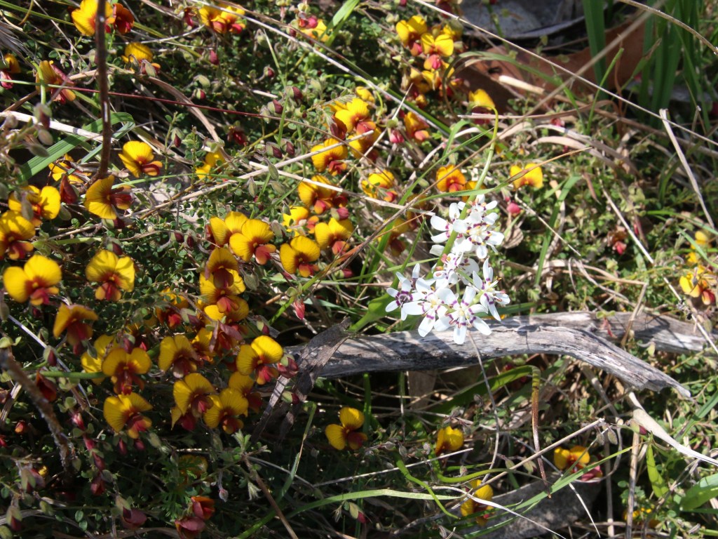

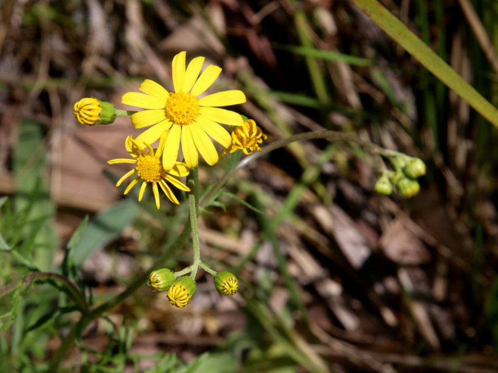


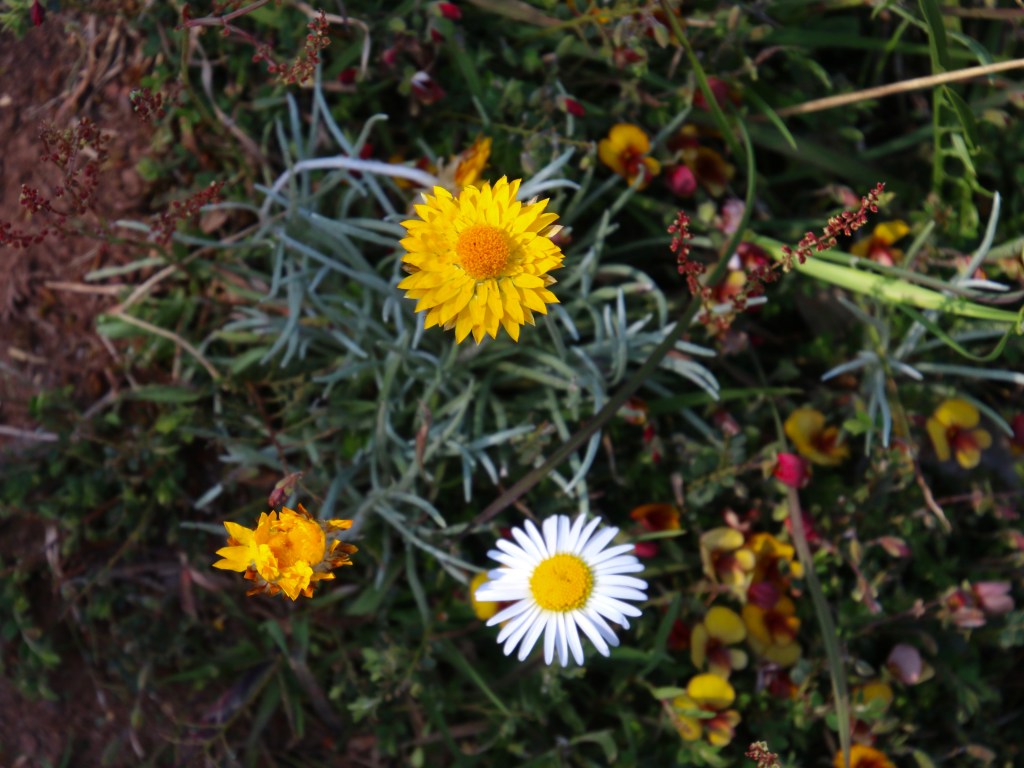


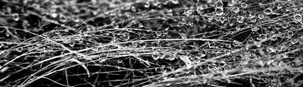
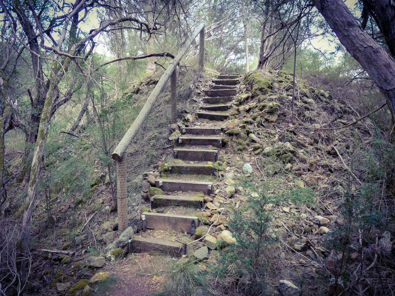
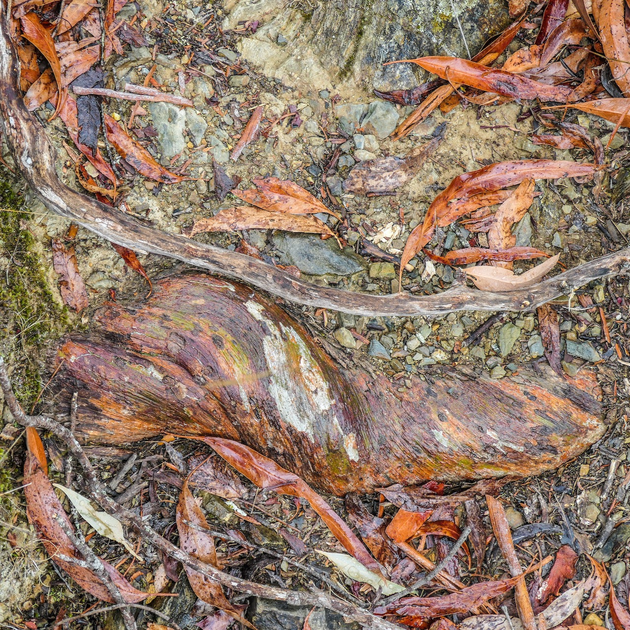
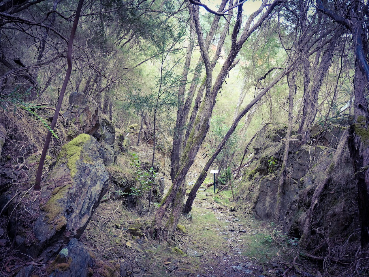
Watkins walk is a Strathbogie Tableland roadside walk through grazing farmland and native forest. One of its other attractive features is the high conservation value roadside vegetation including various towering species of eucalypt.
Such roadsides are critical local biolinks for flora and fauna. There is plenty to see and wildlife sightings are common.
This is a little trafficked smooth gravel road and Strathbogie Tableland is quiet. You can hear cars approaching from some way off. It is pretty safe walking. However, it still makes sense to stick to the right of the road so you are facing any oncoming vehicles that do appear.
Click this link Watkins walk to the map I have created on http://www.walkingmaps.com.au
It has been a while since I have embarked on a GTO (or much in the way of creative writing at all for that matter). I have been otherwise occupied. Why? Happily, the reason is the subject of this GTO.
In retirement I developed my habits of walking, cycling and writing into something more like lifestyle choices. Combined with photography, I found myself outside often, roaming in new places, observing with pleasure, feeling fortunate and interested in the many ways and forms of life and ecosystems around me. It costs little, the prep is fun, the exercise is great and every outing opens your eyes that much wider and your mind expands that much further and you just feel good.
I found myself privileged. Here in Victoria there are so many diverse natural places to savour. Even where environmental degradation has occurred there is often evidence life will find a way. (Whether with or without humans takes on less and less significance exploring as an individual. You barely register on the scale of things so you don’t matter one little bit. You are simply lucky to be there and to bear witness).
I started mapping, photographing and describing these places for others to share. It seemed a good retirement project – to spread the feelings of well being experienced in diverse green spaces . To identify low cost beneficial outdoor activities for other people. To put walkers in these spaces as discoverers of beauty and advocates for deterring misuse and champions of habitat improvement.
Since then I have been asked to transform this hobby into project work for local government and a health promotion charity. As grateful for such opportunities as I am, and as good as that has been, I now finally get to the specific subject of this GTO.
Over the past six months I have been working on a new and wonderful project: “Walking and Rolling: accessible walking paths for people with disability”. Our inclusive team has co-designed an audit tool for assessing walking paths for accessibility. I have been co-auditing accessible walks beside people with disability.
We launched the first 24 Victorian accessible walks last week in a joyful celebration on a glorious day. We have made the audit tool publicly available as a free to use resource for people with disability, carers, families and land managers to do their own assessments and publish accessible walks they identify. Accessible walks are for everyone. There are more to come.
This is an incredibly worthy GTO for me to have fallen into. To my colleagues and the people with disability who have helped make this happen, I will be appreciative to the end of my days. In the meantime, let’s keep going!
I loved this walk through an ancient revegetating open cut gold mine near Mitta Mitta. The atmosphere was one of enchantment.
You can find the map and descriptions here: Pioneer Mine Walk


Another recent publication on walkingmaps is Lake Benalla walk. I have walked this 5k circuit several times and always find it pleasing and interesting. The diversity of experiences and observations is very impressive. You will find the link to the map of the walk and descriptions after the gallery.


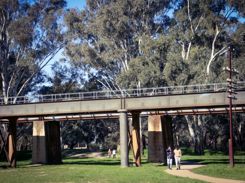

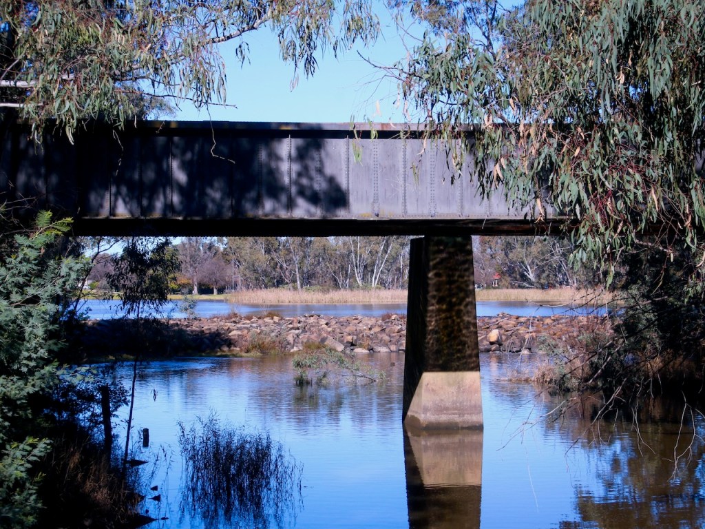


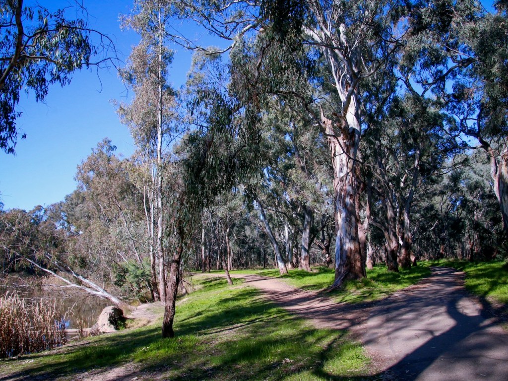

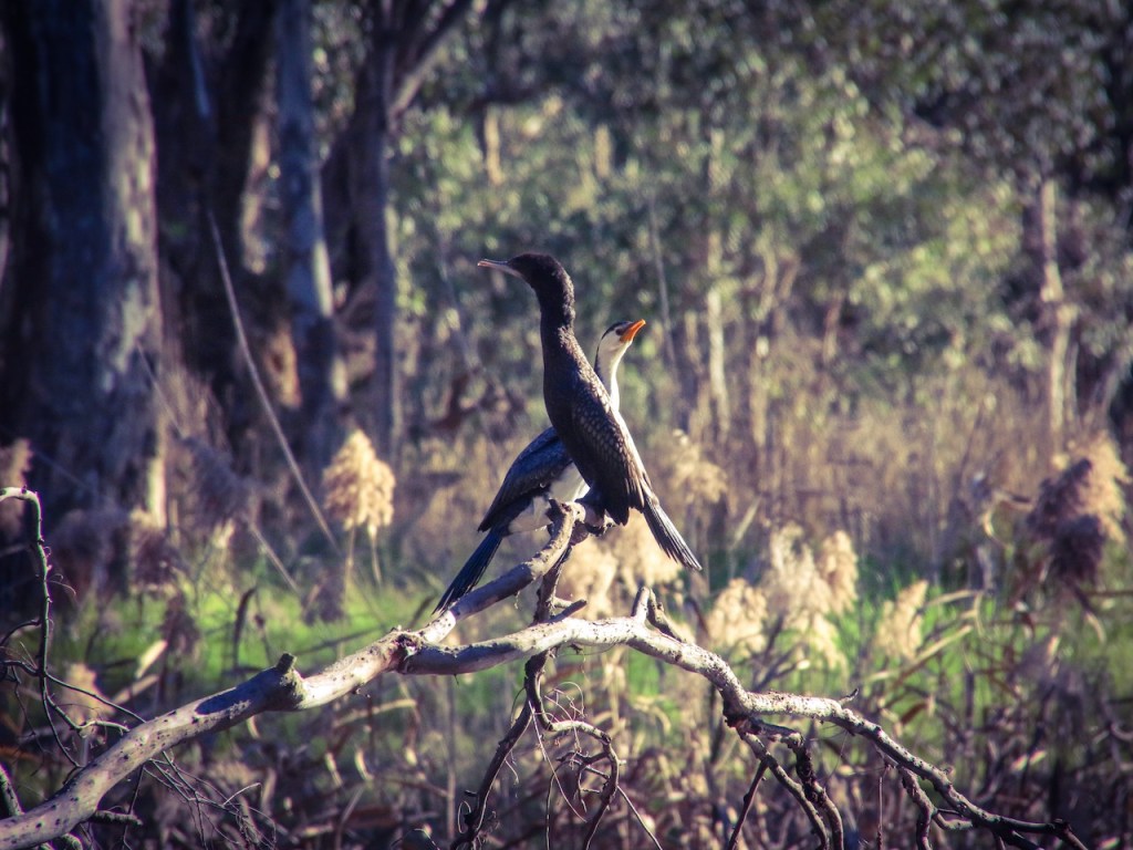


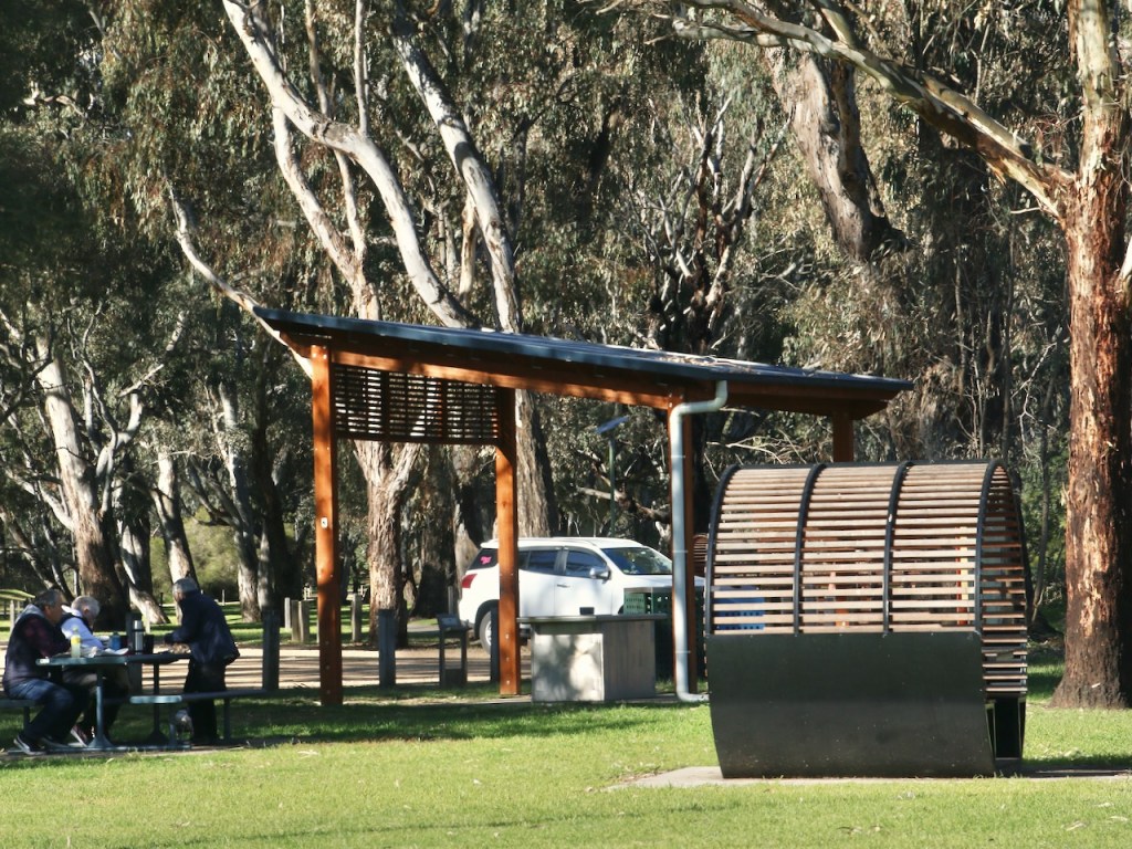


Click the link to visit the walk: Lake Benalla walk
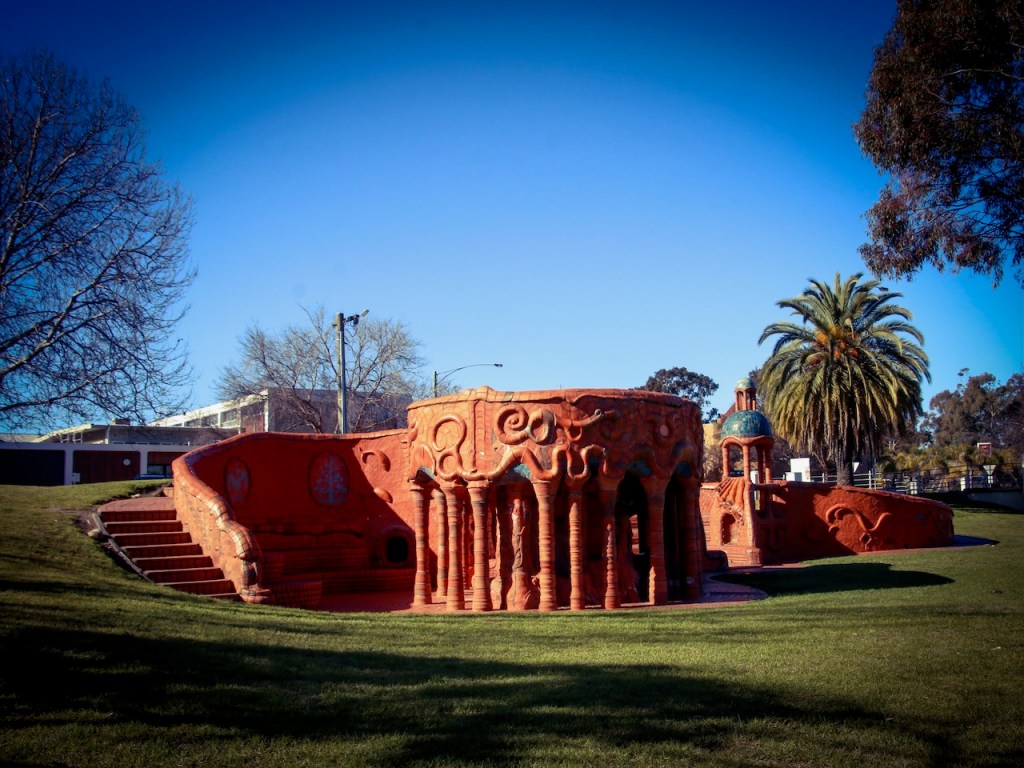
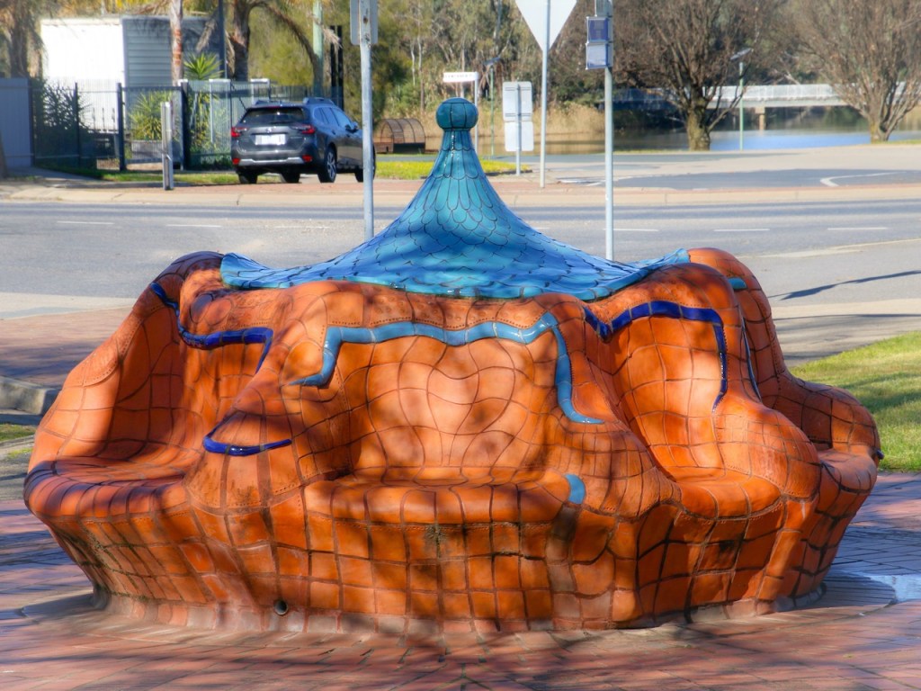
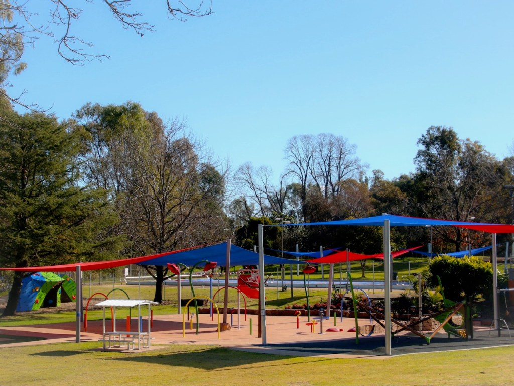
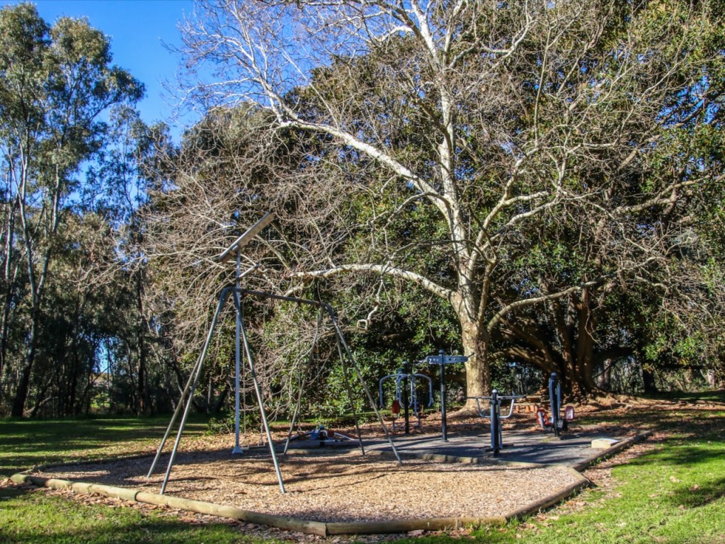
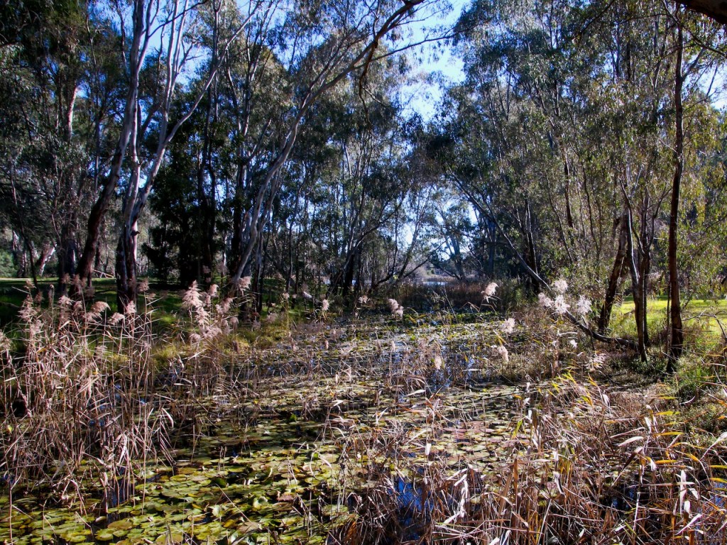
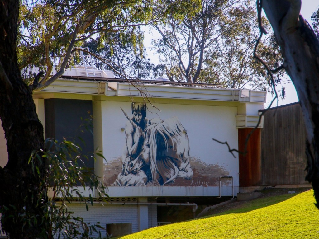
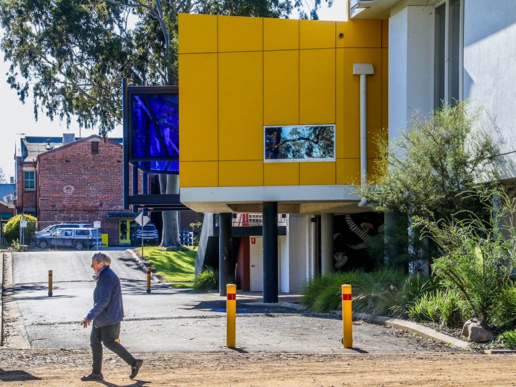
My new walkingmaps project is Benalla Rural City and surrounds. Benalla Botanical Gardens walk has something for everyone. I often stop by the Art Gallery to enjoy some of the wonderful exhibitions. The playground is great fun for kids. The gardens are a pleasure to stroll. I took the photographs in autumn and winter.
From now, I will start by including a gallery of my favourite images taken on each walk, followed by a link to the published map and details.


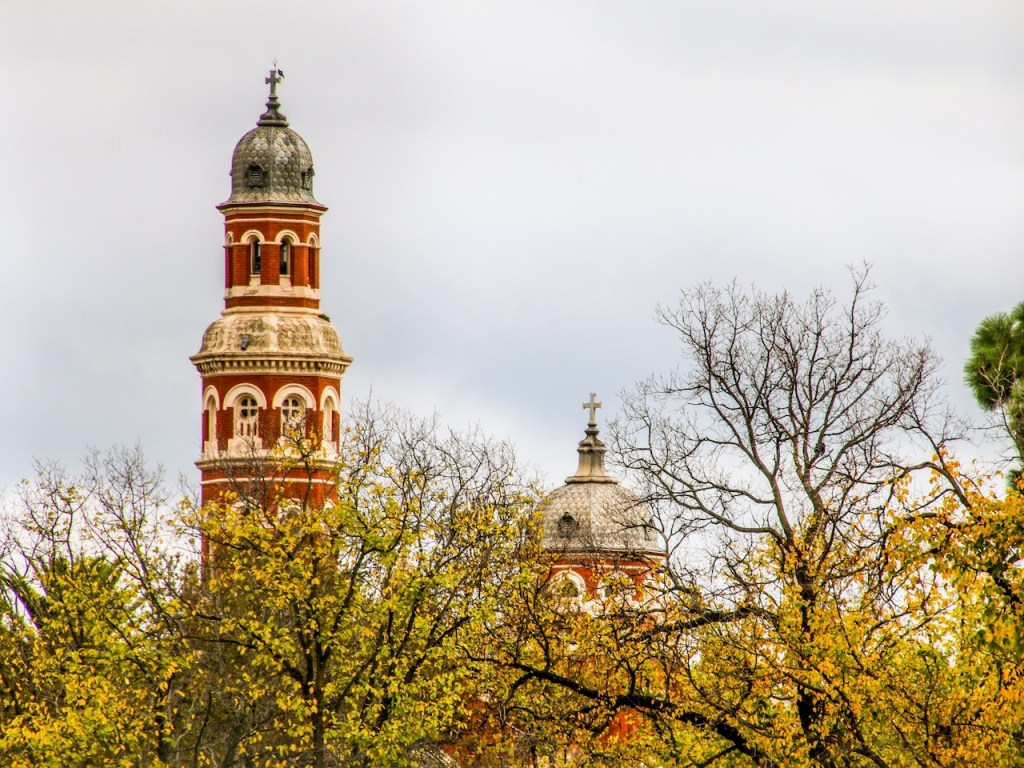

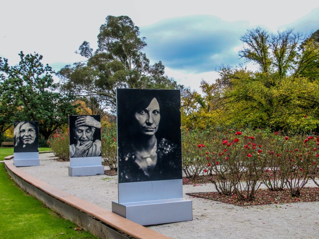


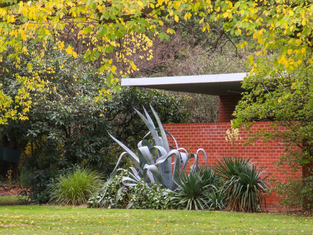
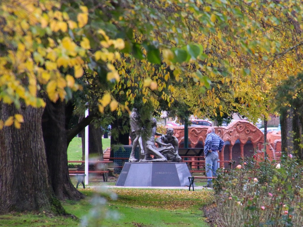


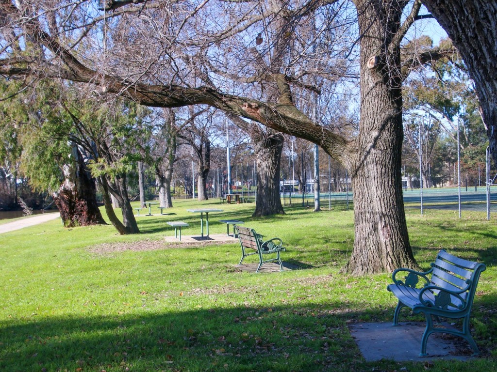

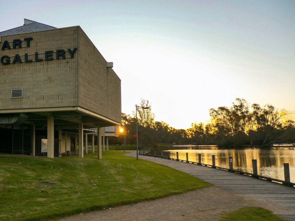

You can find the walking map here: Benalla Botanical Gardens walk
A new walk I have published on VictoriaWalks walkingmaps. Here is the link Dartmouth Dam Wall walk
One of my favourite recent walks published on VictoriaWalks walkingmaps. Here is the link: Pioneer Mine, Mitta Mitta
A new walk I have published on VictoriaWalks walkingmaps. Here is the link Mitta Mitta River walk
I have published this walk on VictoriaWalks walkingmaps. It adopts a section of the High Country Rail Trail in Towong Shire. Here is the link: Mitta River to Old Tallangatta walk
A new walk from the south west coast Curdies River and Foreshore walk
Another beautiful walk I have published on VictoriaWalks walkingmaps: Gibson Steps and Beach walk
A new walk I have published on VictoriaWalks walkingmaps: Twelve Apostles walk
A new Towong region walk I have published on VictoriaWalks walkingmaps: https://walkingmaps.com.au/walk/5472
Here is a link to the latest walk I have published on VictoriaWalks walkingmaps https://walkingmaps.com.au/walk/5485
Here is a link to the latest walk I have published on VictoriaWalks walkingmaps https://walkingmaps.com.au/walk/5484
Here is a link to the latest walk I have published on VictoriaWalks walkingmaps https://walkingmaps.com.au/walk/5483
See the latest walk I have published on Victoria Walks walking maps here: https://walkingmaps.com.au/walk/5274

The most recent walk I have added to VictoriaWalks
https://walkingmaps.com.au/walk/5073
strathbogie walks #strathbogiewalks
strathbogie photography #strathbogiephotography
